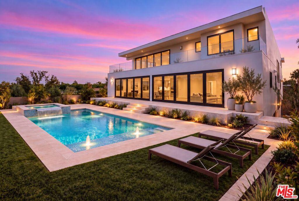
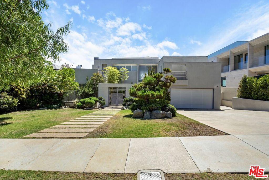
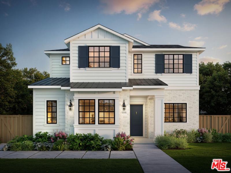
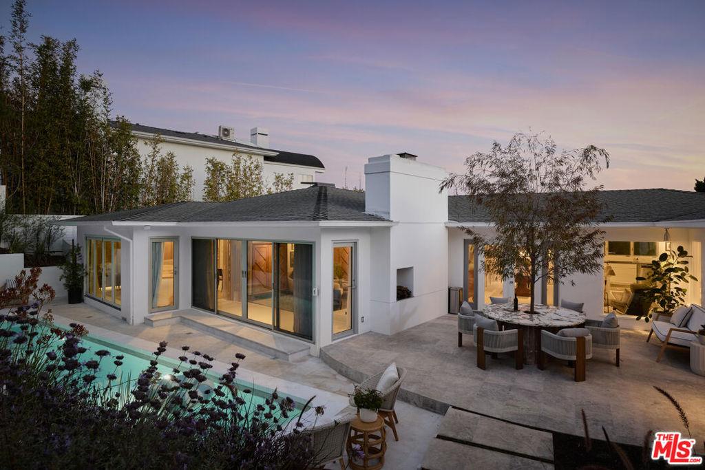
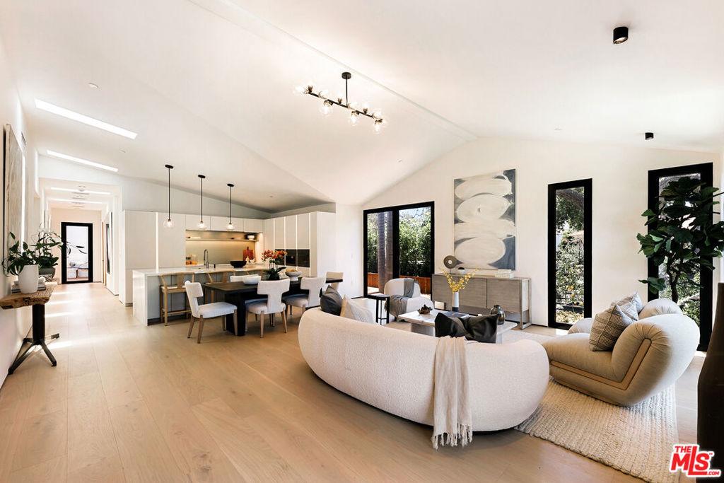
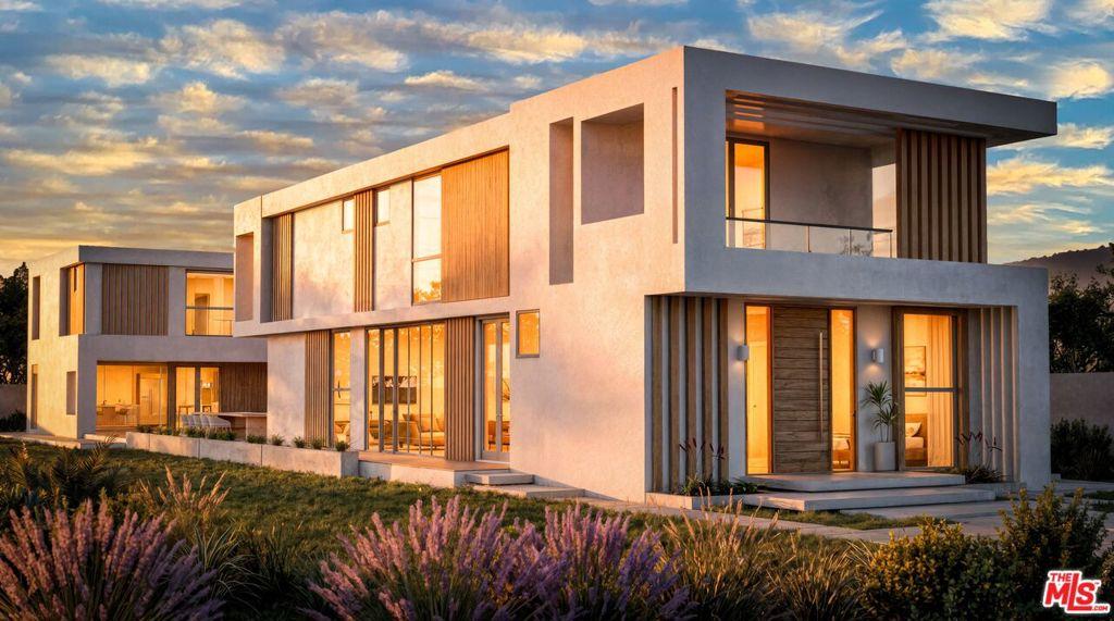
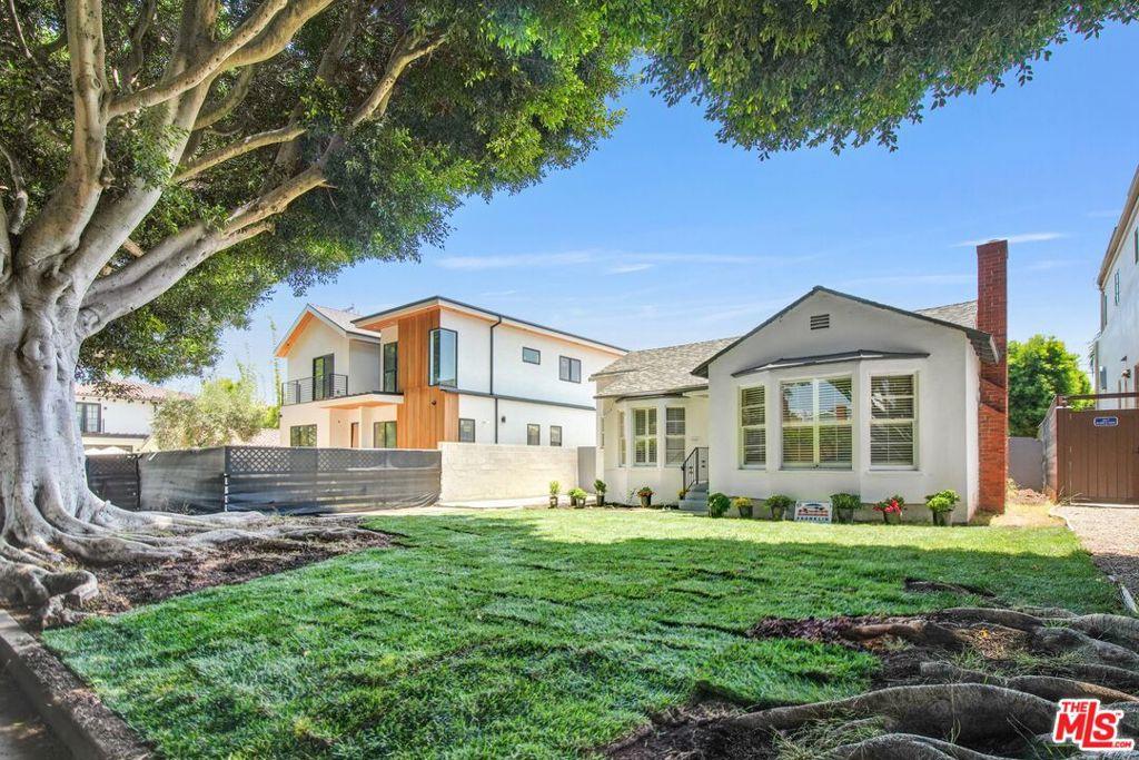
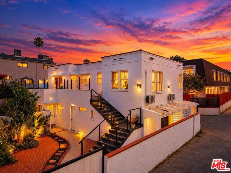
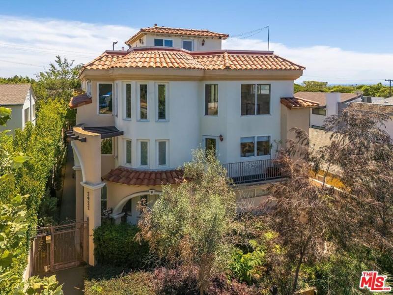
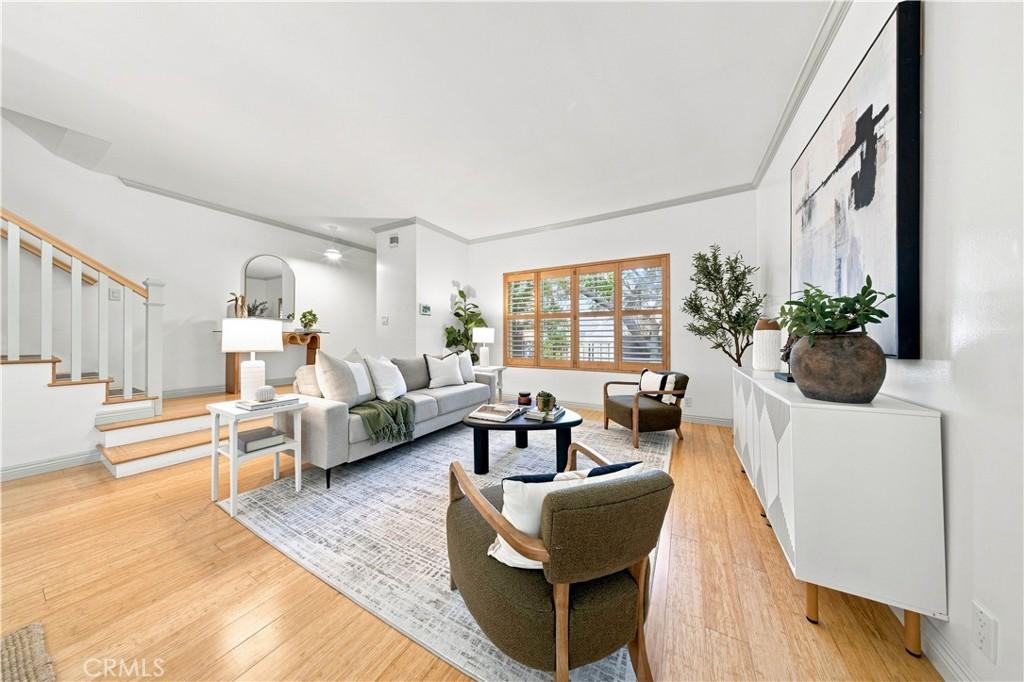
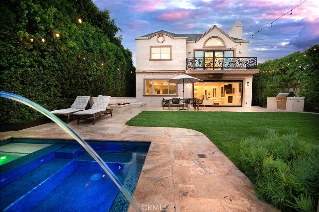
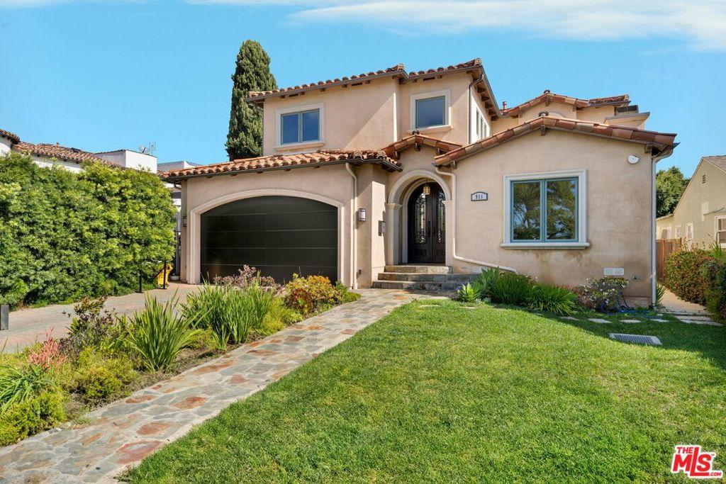
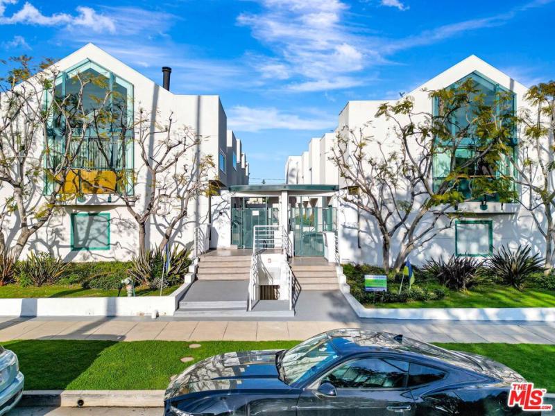
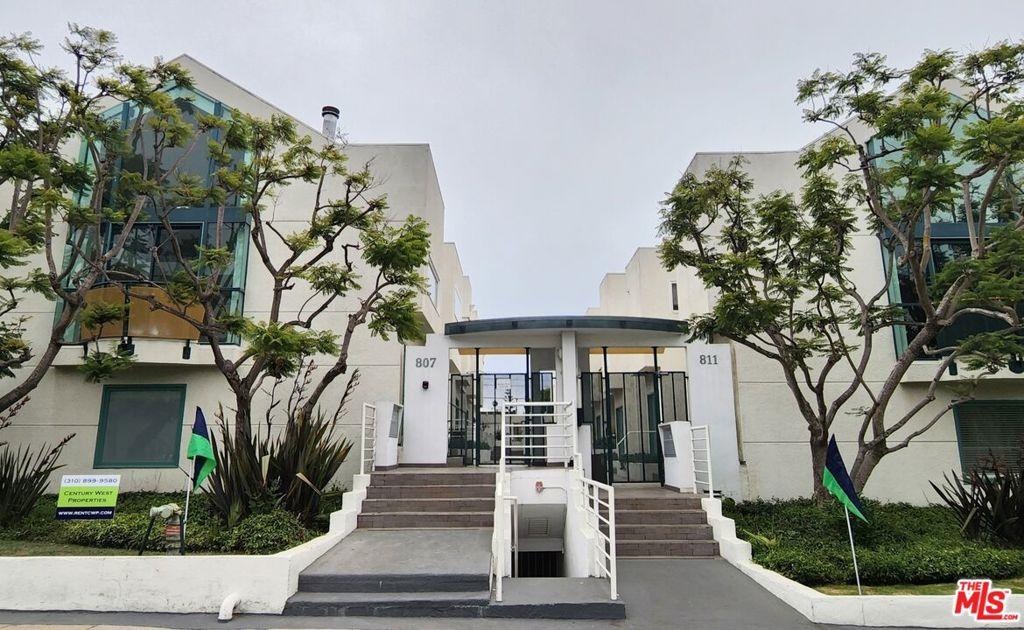
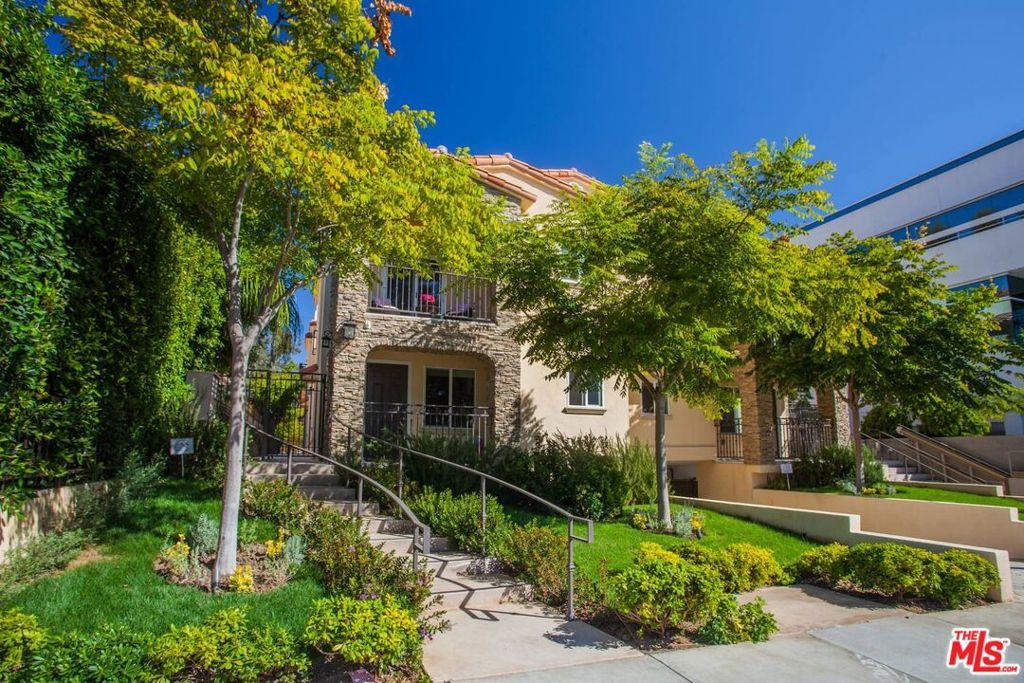
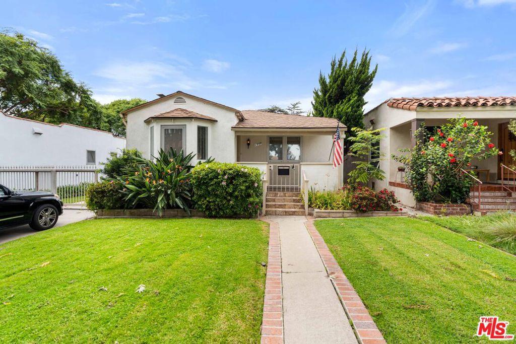
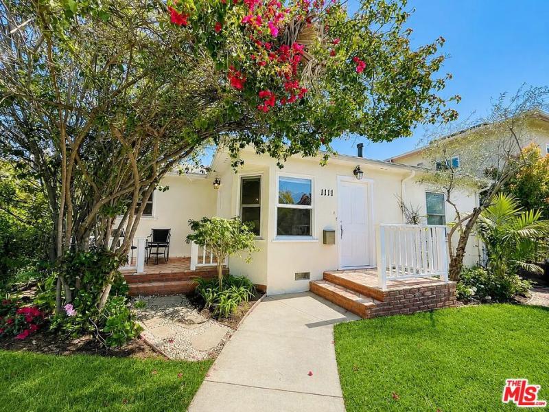
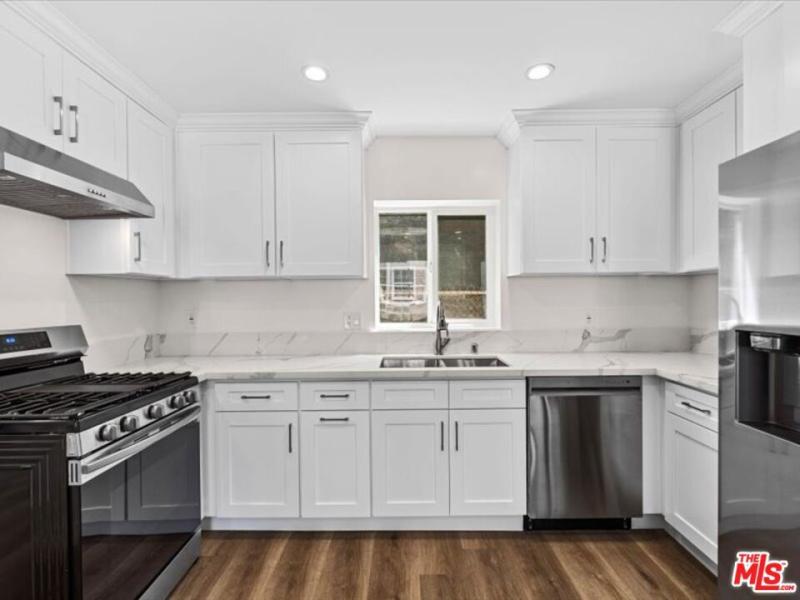
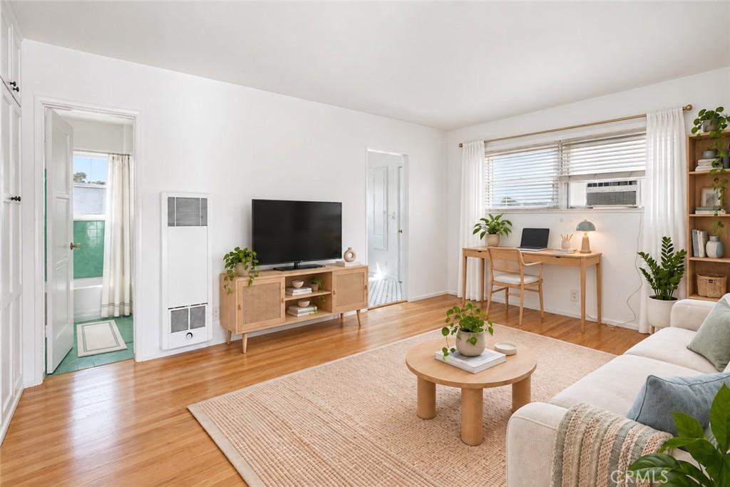
Single Family Homes for Sale Santa Monica currently number 11 active listings with a median asking price of $3,100,000 (CRMLS, September 2026). The median lot in Northeast Santa Monica measures 7,988 sq ft.

Northeast Santa Monica is one of Santa Monica’s established residential neighborhoods, northeast santa monica encompasses the residential neighborhoods in the city’s northern and eastern quadrant — the area north of olympic boulevard and east of lincoln that provides family-oriented residential character alongside santa monica school district access within a city whose consistent demand, limited supply of developable land, and comprehensive lifestyle package — beach, walkable commercial, top-rated schools, mild climate, transit access — create one of the most stable and consistently premium residential markets in the Los Angeles basin.
Northeast Santa Monica’s residential character — established single-family homes on standard lots within walking distance of Santa Monica College and the Sunset Park neighborhood’s parks — offers a more family-scale residential environment compared to the denser downtown and Montana sections. Santa Monica-Malibu Unified School District serves Northeast Santa Monica for K-12 education, with Santa Monica High School as the primary high school campus. The district’s academic programming and extracurricular offerings at Samohi reflect the comprehensive high school model; families seeking more specialized academic environments often supplement with the district’s magnet options or private school choices that Santa Monica’s affluent demographic supports. Elementary school assignments within SMMUSD depend on address and current enrollment boundaries.
The beach is Santa Monica’s most fundamental residential amenity — multiple access points along Ocean Avenue connect Northeast Santa Monica to the Pacific Ocean within minutes, and the paved bike path running along the coast extends the beach lifestyle infrastructure from Malibu to the Palos Verdes Peninsula for cyclists who use it for daily fitness or commuting. The combination of beach access, the Third Street Promenade, and the Montana Avenue neighborhood commercial corridor creates a walkable residential environment that is rare in the Los Angeles metropolitan area outside of Santa Monica and its immediate neighbors Venice and Brentwood.
The C Line (formerly Expo Line) Metro’s Santa Monica terminus is at 4th and Colorado, providing rail connectivity to Culver City, USC, downtown Los Angeles, and ultimately Azusa via a single line. For residents of Northeast Santa Monica who work at employment destinations on the C Line corridor, the transit option reduces driving frequency in a city where parking is limited and traffic congestion is a significant daily challenge. The Big Blue Bus provides local bus service across Santa Monica and to adjacent communities. Highway 10 (the Santa Monica Freeway) provides freeway access to downtown LA and the broader metropolitan area when rail transit is impractical for a specific destination.
Northeast Santa Monica occupies the residential streets east of Lincoln Boulevard and north of the I-10 freeway — the less-beach-adjacent section of the Santa Monica residential landscape that provides the family residential character, the Santa Monica-Malibu Unified School District access, and the proximity to the Bergamot Station arts complex at a price point that reflects the distance from the beach and the freeway adjacency. The Bergamot Station — the former Pacific Electric Railway depot complex that now houses the city of Santa Monica’s Museum of Art (the former Santa Monica Museum of Art now operating as The Broad annex programming) and the concentration of contemporary art galleries — creates the arts district character that sustains the creative community residential demand in the northeast Santa Monica area. The Expo Line’s 26th Street/Bergamot Station stop creates the transit access that the northeast Santa Monica residential community uses for the Westside and Downtown LA commute.
Northeast Santa Monica’s residential market provides the most accessible Santa Monica pricing — the condos and smaller homes at $1M-$2.5M that offer the SMMUSD school quality and the Santa Monica address without the beach-adjacency premium. The residential character of older apartments and some single-family homes creates the most diverse housing mix within the Santa Monica residential market.
Northeast Santa Monica’s residential character has been shaped most significantly by two recent investments: the Expo Line’s Bergamot Station stop (which created the transit access that has changed the car-dependency calculus for northeast Santa Monica commuters), and the continued vitality of the Bergamot Station arts complex (whose approximately 30 contemporary galleries and the Museum of Art programming sustain the arts-destination character that creates residential demand from the arts-community buyer who prioritizes the gallery and cultural infrastructure access that northeast Santa Monica provides at a relative discount from the beach-adjacent neighborhoods). The 26th Street corridor and the residential streets between 20th and 26th provide the single-family residential access that the northeast Santa Monica family buyer can reach at more accessible pricing than the Wilshire-Montana district to the north — the established 1940s-1960s residential fabric creates the neighborhood character that the arts and transit infrastructure investment has been enhancing. The Santa Monica College campus (approximately 1 mile south of the northeast Santa Monica residential core) creates the academic and cultural programming access that the college’s diverse curriculum and the Performing Arts Center sustain for the surrounding residential community.
The Third Street Promenade is Santa Monica’s most recognizable commercial asset — a three-block pedestrian shopping street that hosts national retailers, independent restaurants, street performers, and the Saturday Farmers Market that is one of California’s most celebrated. The Promenade’s success as an open-air pedestrian commercial environment has informed urban retail development across the country, and it sustains Santa Monica’s identity as a rare Los Angeles community where walking to errands, restaurants, and entertainment is genuinely practical. The proximity of Palisades Park’s ocean-bluff walking path, the beach, and the bike path that runs along the coast to Venice and Manhattan Beach extends the pedestrian and cyclist lifestyle infrastructure across the entire city.
The Expo Line (now C Line) Metro terminus at 4th and Colorado provides rail transit from Santa Monica to downtown Los Angeles, Culver City, and the Mid-Wilshire corridor — making Santa Monica one of the few Los Angeles residential communities where car-free or car-light living is genuinely achievable for the portion of the professional population whose work destinations are on the Expo Line corridor. The Big Blue Bus (Santa Monica’s independent transit system) provides local connectivity within Santa Monica and to UCLA, Century City, and other adjacent destinations. The transit infrastructure, combined with the walkability of the downtown and Montana commercial corridors, gives Santa Monica a transit-friendly character unusual in the Los Angeles metropolitan context.
Santa Monica’s tech industry presence — particularly in the “Silicon Beach” corridor along Lincoln and Olympic Boulevards — creates a significant professional employment base within the city that supports local residential demand from technology workers who can walk or bike to their offices. Snap, Hulu, and dozens of smaller technology companies maintain Santa Monica offices, and the startup ecosystem in Santa Monica and Venice creates economic vitality that differs from the entertainment industry’s more volatile employment patterns. The combination of tech employment, beach lifestyle, and walkable urbanism produces the quality of life proposition that sustains Santa Monica’s premium pricing through multiple economic cycles.
Northeast Santa Monica is tracked as a distinct sub-market of Santa Monica, and its figures diverge from the parent average. The measurements below come from CRMLS listing data as of September 2026.
Northeast Santa Monica is one of the strongest sellers’ markets in Santa Monica. Across 12 recorded sales, homes traded at a median of 101.6% of their original asking price after a median 16 days on market (CRMLS, September 2026). Asking prices are what sellers hope for; these are the numbers they accepted.
Negotiating room is not evenly distributed across price. Measured across recorded sales in this dataset, the gap between asking and accepted widens sharply at the top of the market.
Santa Monica is one of the most sought-after residential addresses in Los Angeles — a city of approximately 90,000 residents on the Pacific Coast where the combination of beach access, the Third Street Promenade’s commercial vitality, Santa Monica College, top-rated Santa Monica-Malibu Unified schools, and the mild maritime climate that Pacific Ocean proximity provides creates a residential environment that consistently commands some of the highest prices in the Los Angeles metropolitan area. The 2026 median home price in Santa Monica ranges from approximately $2 million for smaller condominiums to $4 to $8 million or beyond for single-family homes in the most desirable neighborhoods north of Montana Avenue and near the Palisades. Santa Monica’s residential premium reflects both the genuine lifestyle quality that the city provides and the scarcity of Santa Monica addresses given the city’s fixed boundaries and high owner-occupancy rates.
Santa Monica’s residential geography spans approximately two miles from the Pacific Ocean to the eastern border at Lincoln Boulevard, with a north-south span from Montana Avenue (the northern residential limit) to the Santa Monica Airport and Venice borders in the south. Montana Avenue and Ocean Avenue command the highest residential premiums — single-family homes within walking distance of the Palisades Park, the beach, and the Montana commercial corridor consistently achieve the city’s strongest per-square-foot values. The downtown core around the Third Street Promenade and the Ocean Avenue condominiums serve a buyer demographic that specifically values the urban walkability and beachfront positioning that these central locations provide.
Santa Monica-Malibu Unified School District serves the city’s K-12 students, with Santa Monica High School (Samohi) as the primary high school campus. The district’s academic performance and the specific campus characteristics vary; Samohi is a large comprehensive high school with strong programs alongside the typical challenges of a 3,000-student campus. Many Santa Monica families supplement public school with private options or the district’s magnet and alternative programs. The school district premium that Santa Monica’s address commands is real and reflects the overall quality-of-life package that the city provides rather than a singular school quality argument.
Santa Monica is the Los Angeles metropolitan area’s most complete beach city — the 8.3-square-mile independent municipality west of Los Angeles whose beachfront (3.5 miles of Pacific beach), the Third Street Promenade pedestrian commercial mall, the Montana Avenue boutique corridor, and the Silicon Beach tech employment cluster have created the most desirable and most expensive residential address on the LA coast outside Malibu’s private beach estates. Santa Monica’s residential identity reflects the convergence of the beach lifestyle and the urban amenity that few American cities can provide simultaneously: the ability to walk to the farmers market on the beach, the Expo Line light rail to UCLA or Downtown, and the tech-company offices of Google, Snap, and the dozens of Silicon Beach start-ups that have made Santa Monica the West Coast’s second tech hub. The city’s progressive municipal politics (rent control for pre-1979 buildings, a robust affordable housing program, the bike-lane and transit-first transportation policy) create the urban governance character that Santa Monica’s progressive residential demographic sustains through the political process.
Santa Monica’s residential market occupies the coastal premium tier of the Los Angeles market — the single-family homes north of Wilshire Boulevard (the more established residential neighborhoods) at $3M-$10M+, the Ocean Park and south-of-Pico single-family market at $2M-$5M, and the Wilshire Boulevard and Main Street corridor condo market at $1M-$3M. The Santa Monica-Malibu Unified School District (SMMUSD) serves the city’s K-12 student population with consistently high-performing public campuses that sustain the family residential demand that the beach-and-school combination creates in Santa Monica’s housing market.
Northeast Santa Monica pricing reflects Santa Monica’s overall premium market. Single-family homes start at approximately $2.5 million in the city’s more accessible interior sections and range to $5 to $10 million or beyond for premier locations. Condominiums and townhomes start at approximately $1.2 million and provide the entry point into Santa Monica ownership for buyers who want the city’s lifestyle at lower acquisition costs. Current specific pricing for Northeast Santa Monica addresses is available from The Knight Group.
Northeast Santa Monica has a Walk Score that reflects Santa Monica’s overall pedestrian infrastructure — the city is among the most walkable in the Los Angeles metropolitan area, with grocery, pharmacy, restaurants, and entertainment accessible on foot from most addresses. The specific walkability from Northeast Santa Monica addresses depends on proximity to the Montana commercial corridor, the Third Street Promenade, or neighborhood-scale commercial streets. Santa Monica’s bike infrastructure, including protected lanes and the coastal bike path, extends the car-free mobility option beyond walking distance.
The C Line Metro provides rail transit from Santa Monica to downtown Los Angeles in approximately 50 minutes, with stops at Culver City, USC, and other Mid-Wilshire destinations along the way. Driving via the 10 Freeway ranges from 20 minutes off-peak to 60 to 90 minutes during peak commute hours, reflecting the Santa Monica Freeway’s consistent congestion during morning and evening rush periods. Many Santa Monica residents who commute to downtown LA prefer the Metro for its schedule reliability relative to the freeway’s variable travel times. For Westside employment destinations, the commute from Santa Monica is shorter and often achievable by bicycle for the most motivated cyclists.
Bergamot Station is a 5.5-acre campus in the converted Pacific Electric Railway depot in Santa Monica that houses approximately 30 contemporary art galleries, the Museum of Art, a cafe, and the cultural programming that has made Bergamot one of the premier gallery districts in Los Angeles since it opened in 1994. The gallery concentration — ranging from established international galleries (Shoshana Wayne Gallery, Patrick Painter Inc.) to emerging artist spaces — creates the regular gallery walk programming (the monthly gallery night events) that sustain Bergamot’s role as a destination for the Los Angeles contemporary art community. The station’s naming for the bergamot orange (a citrus fruit used in Earl Grey tea) references the aromatic identity; the facility’s converted industrial architecture creates the characteristic gallery space that artists and curators have long favored for the combination of high ceilings, natural light, and flexible floor plans. For Northeast Santa Monica residents, Bergamot Station is the walkable arts community anchor that distinguishes the neighborhood from the purely residential character of other inland Santa Monica areas.
Explore more Santa Monica neighborhoods:
Signup for email alerts when properties match your interest!