Santa Barbara Homes for Sale: What Buyers Should Know
Santa Barbara Homes for Sale currently number 25 active listings with a median asking price of $3,100,000 (CRMLS, September 2026).
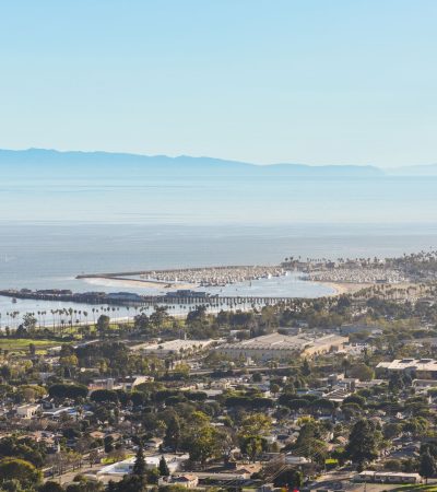
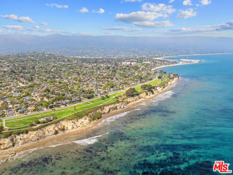
Most searches for Santa Barbara homes for sale run into the same wall: there is very little land. The city sits on a narrow shelf between the Santa Ynez Mountains and the Pacific, about 90 miles west-northwest of Los Angeles, with 88,665 residents at the 2020 census and a century of rules that make building difficult. Through mid-2026, the Santa Barbara area median was $2,042,500, down from $2,302,500, with 1.9 months of inventory and unit sales up 11.7 percent. Correctly priced homes still draw multiple offers. Overpriced ones sit and reduce.
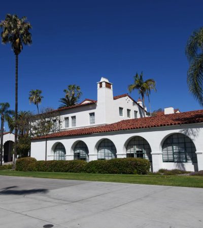
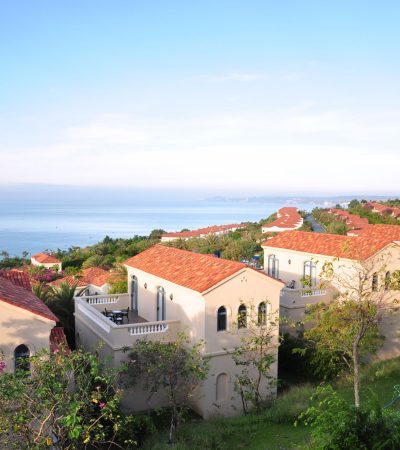
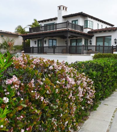
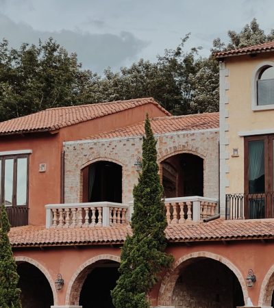
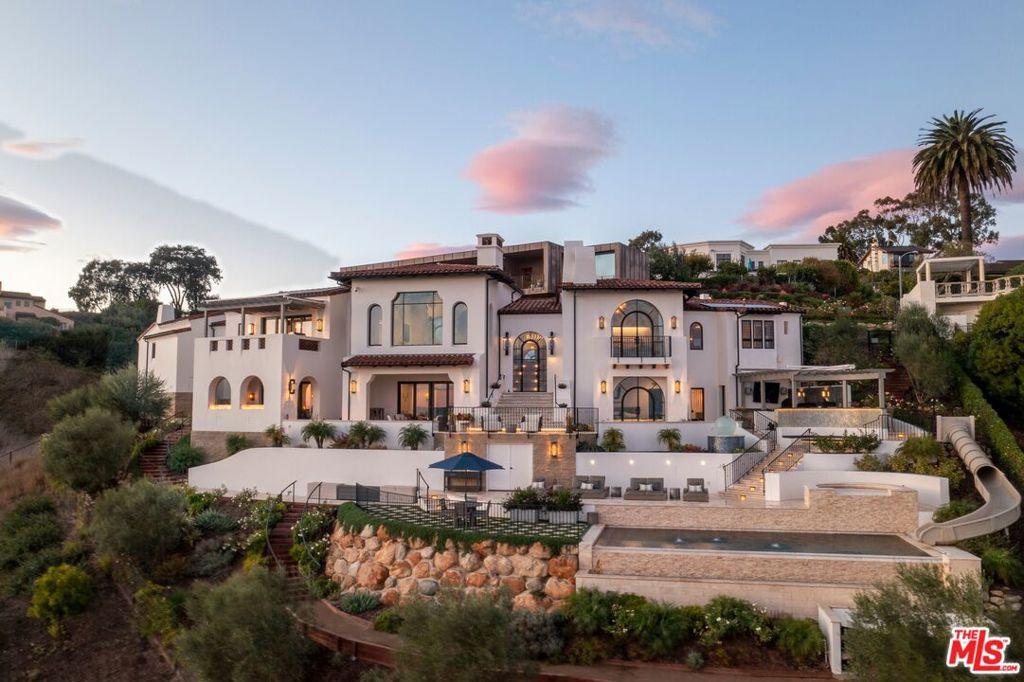
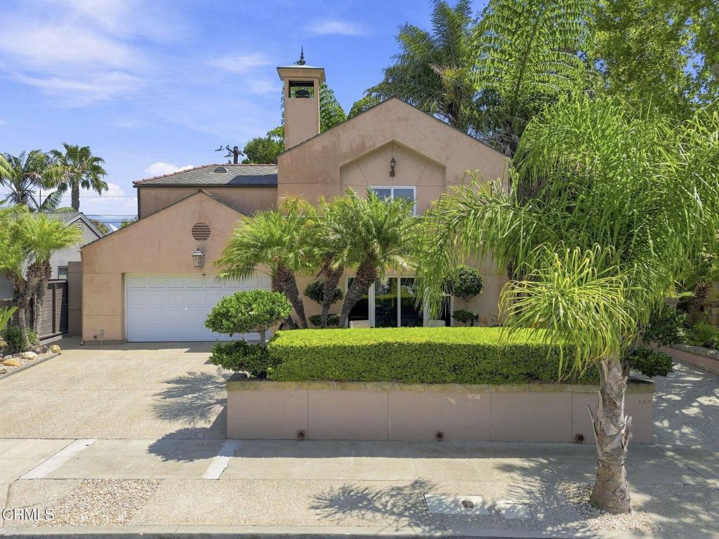
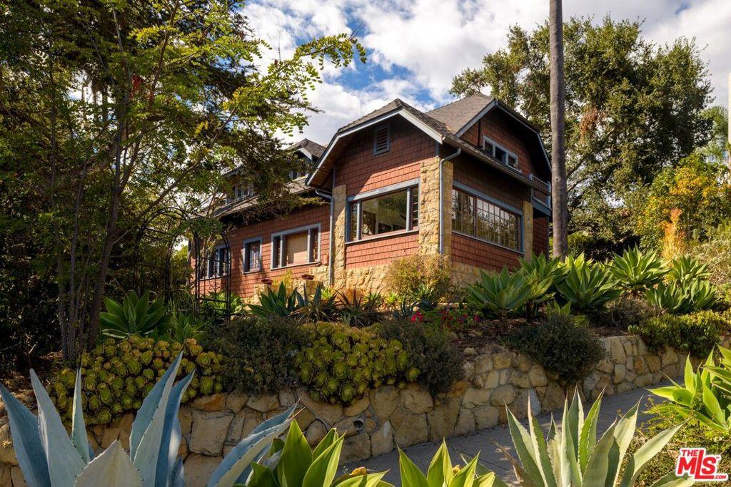
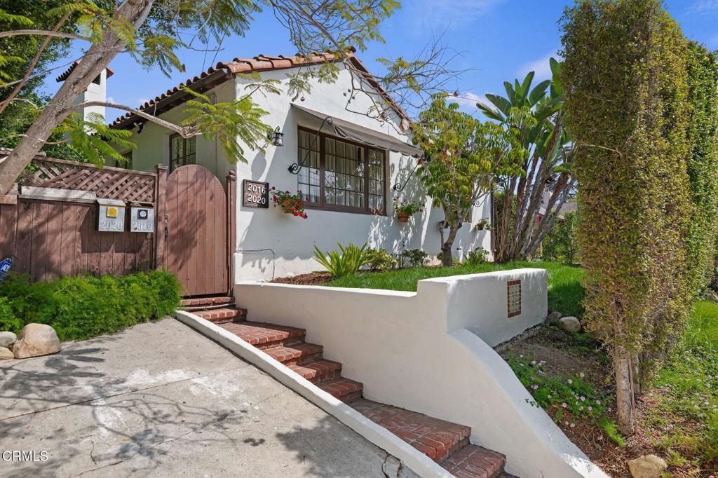
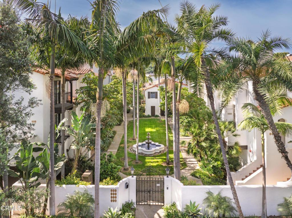
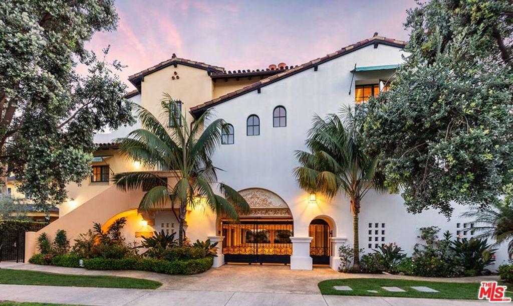
The housing stock is unusually consistent because it has to be. The city rebuilt in Spanish Colonial Revival after the 1925 earthquake and wrote that look into law through the El Pueblo Viejo Landmark District. What varies is location. A beachfront condo, a working-family bungalow, and a hillside estate on the Riviera can sit within two miles at three different price tiers.
Browse the listings below, or work through the neighborhood sections on this page to narrow where you should be looking. For a direct read on a specific street, building, or hazard disclosure, contact The Knight Group.
Where is Santa Barbara, and how do you get in and out?
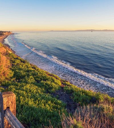
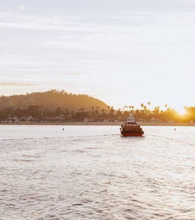
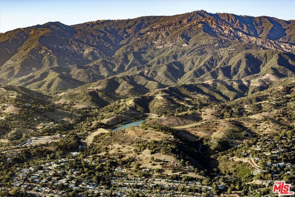
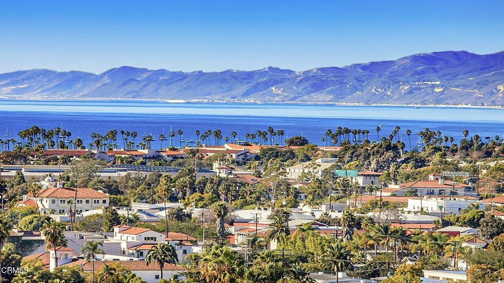
Santa Barbara sits on a stretch of coastline running east to west rather than north to south, so the city faces the ocean to the south and the mountains to the north. That orientation produces the light, the sunsets over water, and the nickname the region has carried for a century: the American Riviera, earned by the resemblance to the northern Mediterranean coast.
Access is straightforward but singular. US 101 is the spine. It runs the length of the South Coast, connecting south toward Ventura and Los Angeles and north toward Goleta and San Luis Obispo. There is no parallel freeway, and when 101 closes for storms, slides, or fires, the alternatives are slow. Drive your actual commute at your actual hour before you commit to a purchase.
Amtrak’s Pacific Surfliner stops here on its run between San Diego and San Luis Obispo. Santa Barbara Airport handles regional service. The University of California, Santa Barbara is a major regional employer and a steady source of rental demand.
What does the Santa Barbara market cost right now?
Prices moderated in the first half of 2026 after a strong 2025. In the Santa Barbara Independent’s mid-year 2026 market review published July 23, 2026, Jackie Walters of Village Properties reported a South Coast median of $2,147,500 for houses and planned unit developments, down 7.96 percent from year-end 2025. The Santa Barbara area median came in at $2,042,500, down from $2,302,500. Condos market-wide were down 3.2 percent. Montecito’s median sat at $5,750,000, down 7.14 percent.
Volume moved the other way. That same review put Santa Barbara sales up 11.7 percent against the first half of 2025, with condo sales up almost 8 percent year to date. Inventory stayed tight: 2.5 months of supply overall, and 286 available properties against 348 a year earlier. Santa Barbara carried 1.9 months of inventory, Goleta 1.3 months, and Montecito 4.5 months, down from 7.9 months a year prior. Redfin, reporting through May 2026, showed a median sale price of roughly $1.9 million over the trailing three months, down 9.1 percent year over year.
Read those signals together. Median down, unit sales up, supply low. More transactions are closing at the middle of the range while the top negotiates harder. It is not a collapse and it is not a frenzy. Correctly priced homes still draw multiple offers. Overpriced listings still sit and reduce.
Why does every building in Santa Barbara look the same?
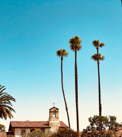
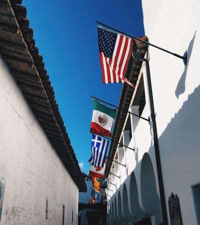
Because it is required to. A magnitude 6.3 earthquake struck on June 29, 1925 and damaged much of downtown. The rebuilding produced the Santa Barbara County Courthouse and much of the Spanish Colonial Revival core the city is known for. Then the city codified the look.
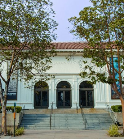
The El Pueblo Viejo Landmark District covers the historic center in two parts: Part I surrounds the Royal Presidio, the State Street commercial corridor, and Cabrillo Boulevard along the beach, and Part II surrounds the Mission. Inside the district, exterior alterations go to the Historic Landmarks Commission, and the ordinance requires work be compatible with the Hispanic tradition as it developed in the city from the later 18th century, with emphasis on the early 19th century California Adobe and Monterey Revival styles and the Spanish Colonial Revival style of 1915 to 1930. Outside it, multi-residential, commercial, and mixed-use projects go to the Architectural Board of Review.
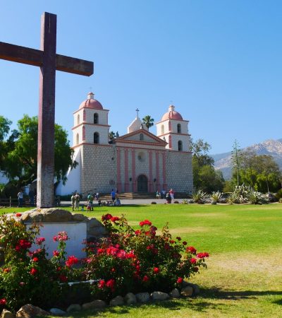
The consequence for a buyer is timeline and cost. If you plan to change windows, roofing, exterior color, hardscape, or massing inside El Pueblo Viejo, budget for design review before you budget for the contractor. Old Mission Santa Barbara, founded December 4, 1786 as the tenth Spanish Franciscan mission in California, and Stearns Wharf, built in 1872, anchor the fabric these rules protect.
What are the hillside neighborhoods above the city?
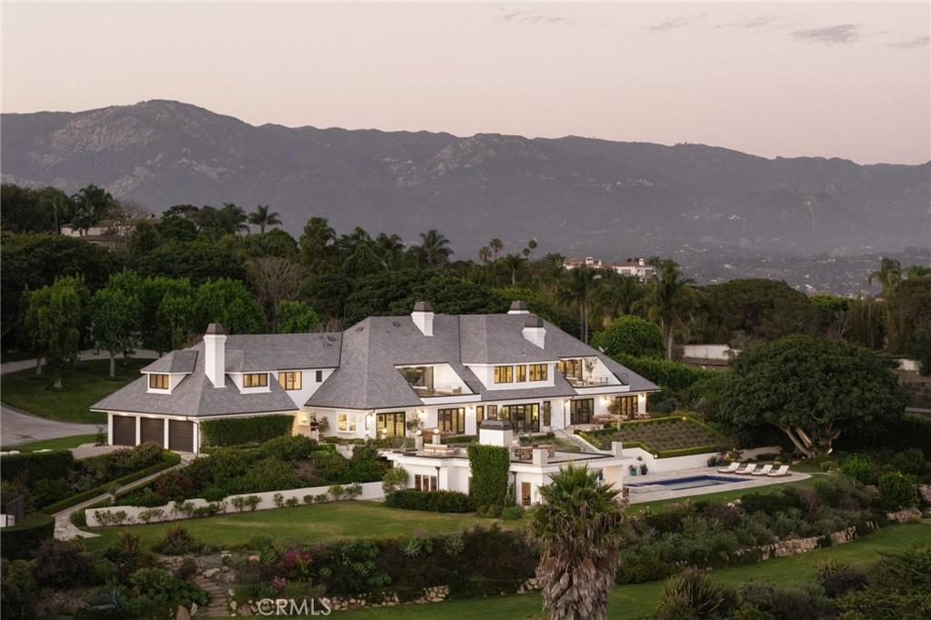
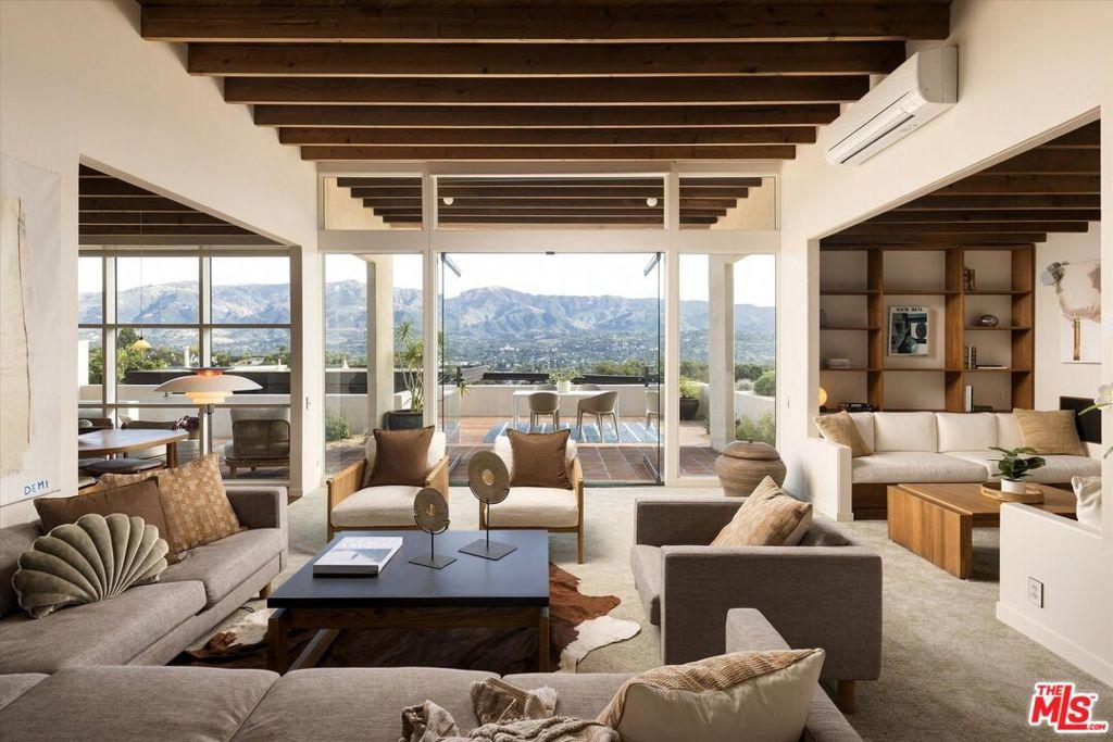
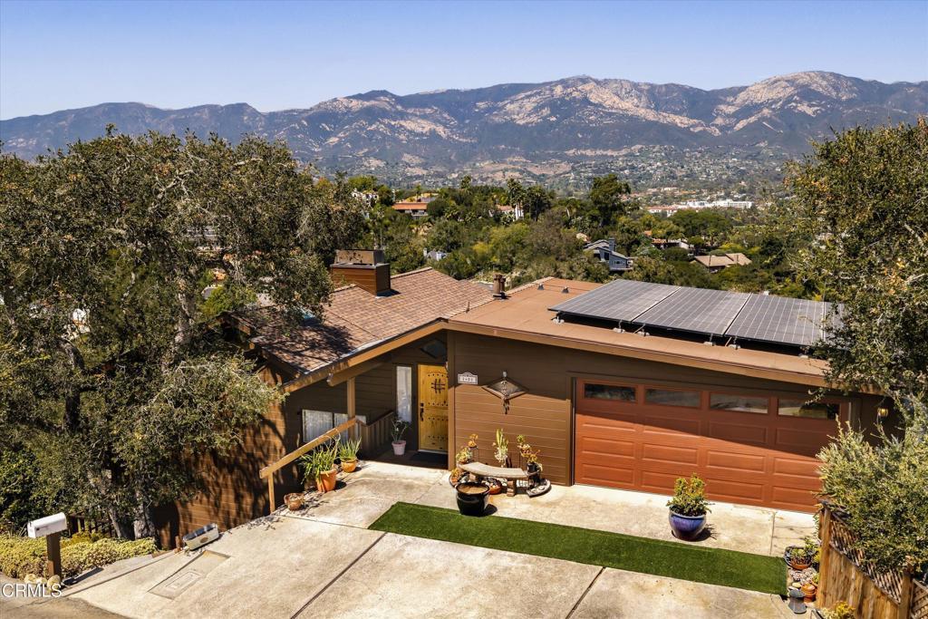
The hillside tier is where the views are and where the underwriting gets serious. The slope above downtown has been called the Riviera for more than a century for its resemblance to Mediterranean coastal towns, and the terracing and stonework on those winding streets was built largely by Italian immigrants in the early 20th century. The trade-off is honest: you buy the view and give up walkability, because the grades are steep and the shops are downhill.
Start with The Riviera, the broader hillside estate district, then split it by elevation. Upper Riviera holds the highest positions and the widest ocean and island views. Lower Riviera sits closer to the flats and trades view for a shorter drive downtown. Casa Riviera is the attached-housing option on the same slope, for the address without a hillside lot to maintain.
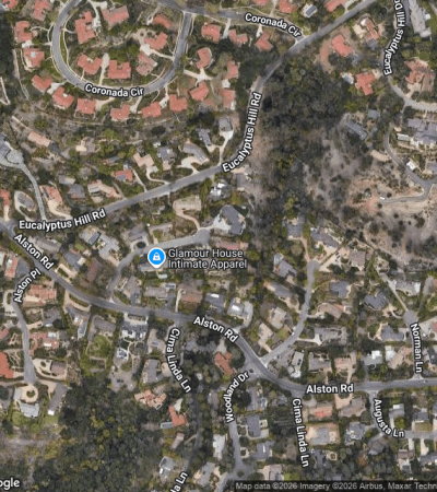
East of the Riviera, Eucalyptus Hill runs toward the Montecito line with larger parcels and heavy tree canopy. Mission Canyon climbs north behind the Mission toward the Botanic Garden and is the most wooded and secluded of the close-in hillside areas. Cielito and Campanil are smaller pockets with street-by-street character. Santa Barbara Highlands and East San Roque sit on the foothill benches farther west, with elevation and view at a lower entry point than the Riviera commands.
What are the beach and Mesa neighborhoods like?
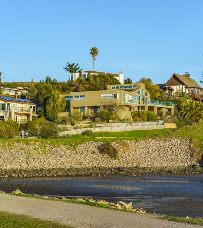
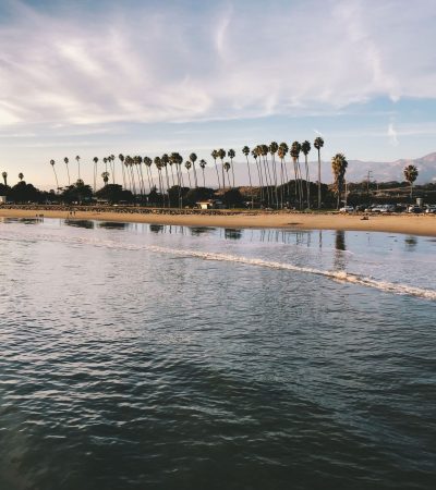
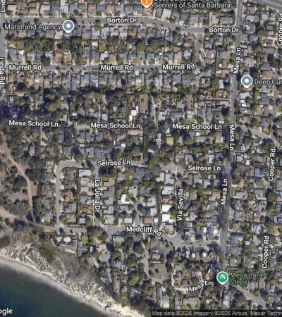
The Mesa is the coastal bluff south and west of downtown, and it is usually discussed in pieces. The Mesa runs to beach access points including Mesa Lane Beach and the stairway locals call 1000 Steps, with a housing mix spanning mid-century modern homes, small cottages, and beachfront condominiums. East Mesa sits closer to the harbor and downtown. West Mesa runs toward the open bluffs with generally larger lots.
Farther west, More Mesa is the outlier. The More Mesa Preservation Coalition describes 325 acres of coastal bluff-top grassland, oak woodland, and wetland with trails and beach access, and states the majority of the land is privately owned, currently listed for sale, and still drawing developer interest. Buy nearby knowing the open space next door is not permanently protected.
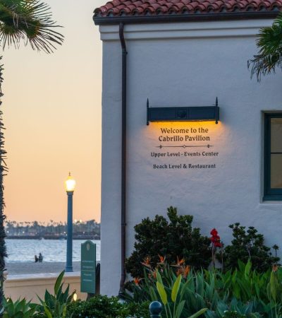
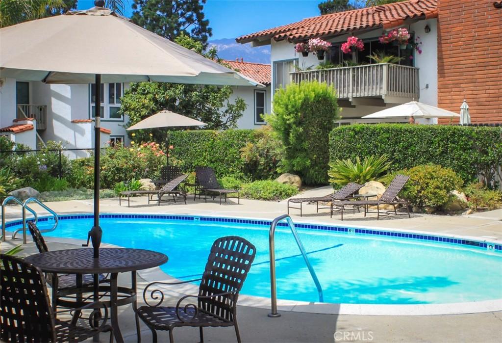
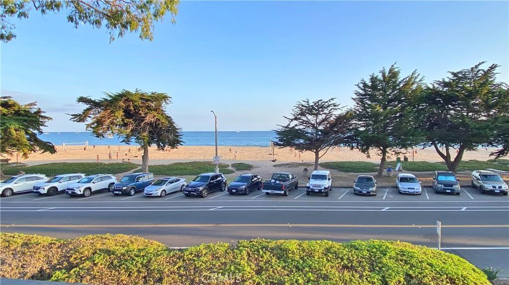
On the flats near the water, West Beach is the harbor-adjacent district between the waterfront and lower State Street, and East Beach runs along Cabrillo Boulevard toward the zoo and the Andree Clark Bird Refuge. Two attached communities anchor this stretch for buyers who want sand without a single-family maintenance load: El Escorial Villas near East Beach and Villa del Mar. Both are HOA-governed and both deserve full document review before you remove contingencies.
What is it like to live downtown?
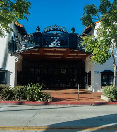
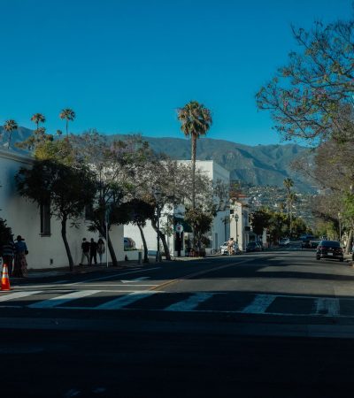
Downtown Santa Barbara is the most walkable inventory in the county. State Street is the commercial spine, and the division buyers care about is upper versus lower. Lower State runs toward the beach and the wharf with the highest foot traffic and the most nightlife. Upper State extends north past the theater district toward the uptown shopping corridor and is quieter block for block.
The building buyers ask about most is Alma del Pueblo at 18 W. Victoria Street. Completed in 2014, it is a LEED Platinum mixed-use project with 37 condominiums above the Santa Barbara Public Market, steps from the Arlington and Granada theaters. Units run roughly 697 to 2,013 square feet, with concierge service, a rooftop terrace and garden, a club room, owner guest rooms, wine storage, and underground parking.
Laguna is the residential pocket immediately east of the core, close enough to walk to State Street but built at neighborhood scale. At the eastern edge of the city, Coast Village is worth getting precisely right: Coast Village Road functions as Montecito’s main commercial street but lies inside City of Santa Barbara limits. That boundary changes which rules, permits, and services apply, and buyers regularly get it wrong.
Which neighborhoods work for buyers who want a house and a yard?
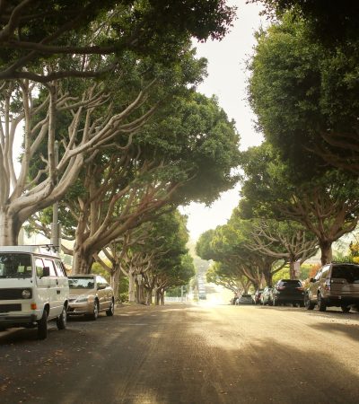
The residential middle is where most families end up and the part of the market outsiders underestimate. San Roque is the reference point: central, established, sidewalks, mature trees, quick access to the uptown shopping corridor and the freeway. San Roque Above Foothill is the upper tier of that area, north of Foothill Road, with more elevation, more privacy, and a fire hazard profile to verify parcel by parcel.
Nearby, Oak Park sits around the park of the same name and Cottage Hospital, which makes it practical for medical professionals. Samarkand is quieter, known for gardens, tree-lined streets, and a mix of architectural styles close to downtown without being in it. Las Positas runs toward the Mesa and the golf course, and Hope covers the area near Hope Avenue and the uptown retail cluster.
Three smaller pockets trade differently than the districts around them and are worth naming on their own: Estancia, Rancho San Antonio, and Forte Ranch. Each is small enough that one sale moves the comparable set, so pricing them requires looking beyond the boundary.
On the working side of the city, the Westside and Lower Westside hold a mix of single-family homes, duplexes, and small apartment buildings at the most accessible entry price inside city limits. The same holds east of State: the Eastside is predominantly residential with a comparable housing mix, organized around the Milpas commercial corridor. Above them, the Upper Eastside runs from State Street to the base of the Riviera and holds some of the most substantial period architecture in the city on flat, tree-lined streets. It is one of the few places you get the architecture and the walkability without the hillside grade.
What makes Hope Ranch different?
Hope Ranch is not in the City of Santa Barbara. It is unincorporated county territory between the city and the Goleta Valley, bounded by the Pacific to the south, which means county rules, county services, and a different permitting path than a city address.
The history is specific. Irish immigrant Thomas Hope acquired the land around 1861 for sheep ranching. In 1877 his widow sold 2,000 acres to the Pacific Improvement Company, formed by Southern Pacific Railroad principals, for $250,000. A planned 800-room hotel was never built. In 1925 Harold S. Chase’s La Cumbre Estates Corporation bought 1,200 acres and developed the community that exists today, with the first houses completed in 1925 and 1926.
What owners get is a private infrastructure layer. The Hope Ranch Park Homes Association manages the private roads, the bridle trails, and the beach, which is gated and open to residents rather than the public. Roughly 27 miles of riding trails run through the community and about a tenth of residents own horses. Laguna Blanca School, an independent day school founded in 1933, and La Cumbre Country Club sit inside or adjacent to it. Hope Ranch Annex sits alongside at a different price point without the same association membership, so confirm what a given parcel actually includes before assuming beach and trail access come with it.
Which schools serve Santa Barbara?
Most of the city is served by Santa Barbara Unified School District. Its elementary schools include Adams, Cleveland, Franklin, Harding University Partnership School, McKinley, Monroe, Roosevelt, Washington, and Santa Barbara Community Academy. Junior highs are Santa Barbara, La Colina, La Cumbre, and Goleta Valley. High schools are Santa Barbara, San Marcos, and Dos Pueblos. The Hope Ranch area falls under the Hope Elementary District, which runs three elementary schools, and Laguna Blanca School is the independent option nearby. Attendance boundaries do not follow neighborhood names and they change, so verify the assigned school with the district for the exact address.
What risks should you underwrite before you buy here?
Wildfire is the first one. CAL FIRE released updated Fire Hazard Severity Zone maps for Local Responsibility Areas in Santa Barbara County on March 10, 2025, the first update since 2009, and local fire departments published jurisdiction-specific versions accounting for terrain, sundowner winds, and evacuation constraints. The history is not abstract: the 2008 Tea Fire and 2009 Jesusita Fire together destroyed close to 300 structures across about 16.5 square miles. In Mission Canyon the Jesusita Fire destroyed 80 residences and 80 outbuildings and forced the evacuation of 30,500 people, driven by 65 mile per hour sundowner winds in a single burning period.
The practical effect on a purchase is insurance. Pull a quote during your contingency period, not after. In high-hazard zones the carrier list narrows, premiums rise, and the FAIR Plan plus a wrap policy becomes the fallback. Get the number in writing before you waive.
Post-fire debris flow is the second. After the Thomas Fire, the January 2018 Montecito debris flows killed 20 people and injured 28. In 2020 FEMA allocated $13.5 million toward an $18 million debris control project on San Ysidro Creek. Any property below a burn scar or in a creek corridor should be evaluated for debris flow separately from fire.
Then the regulatory layer. Coastal parcels can fall under California Coastal Commission jurisdiction, adding a permitting step for shoreline work, and historic review applies inside El Pueblo Viejo. Note what does not apply: Measure ULA is a City of Los Angeles transfer tax and does not reach Santa Barbara.
What should condo and HOA buyers know?
Attached housing here is governed by the Davis-Stirling Common Interest Development Act, the California statute covering HOA governance, assessments, and disclosure. In contract you are entitled to the association’s governing documents, budget, reserve study, and minutes. Read all four.
The items that cause problems are reserve funding, deferred exterior work, special assessments approved or under discussion, pending litigation, and rental restrictions. Coastal buildings carry salt-air loads on railings, windows, and roofing that inland buildings do not, so a reserve study that looked adequate five years ago may not cover today’s bids.
Renting, Buying, or Waiting: Sorting Out Your Position on the South Coast
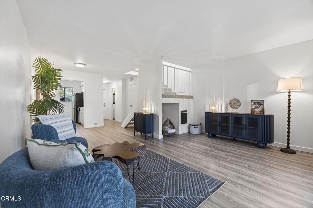
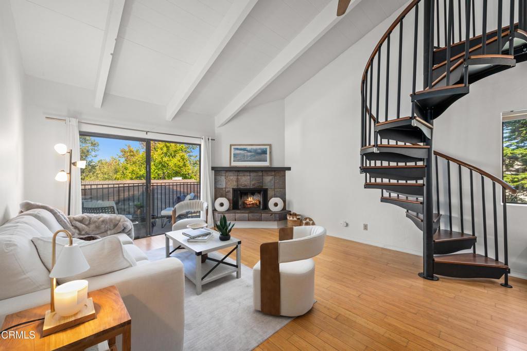
Buyers arriving from elsewhere often assume a smaller budget means moving inland. Here it usually means changing property type instead. Attached housing is the practical entry point across most of the city, and condo pricing moved differently from houses in the first half of 2026, easing slightly while condo sales climbed. A hillside lot brings maintenance obligations that a shared-wall unit does not: retaining walls, drainage on a grade, and access on narrow streets. Decide which of those you actually want to own before you shop.
Timing matters less than positioning. With supply this thin, the question is not whether the market will hand you a discount but whether you can move when the right unit appears. Get financing settled, read the disclosure package early, and know how the review process affects any changes you plan. Santa Barbara real estate rewards buyers who are ready before the listing goes live, not those waiting for a signal.
Frequently Asked Questions About santa barbara Homes for Sale
Is Santa Barbara a buyer’s market or a seller’s market in 2026?
It is mixed. Per the Santa Barbara Independent’s mid-year 2026 review, months of inventory sat at 2.5 overall and 1.9 in Santa Barbara, which is seller’s-market territory, while the median declined from year-end 2025 and sale timelines lengthened.
How much do I need to spend for a house in Santa Barbara?
The mid-year 2026 Santa Barbara area median for houses and planned unit developments was $2,042,500 per the Independent’s review, with the South Coast median at $2,147,500. That is the middle, not the floor. The Westside, Lower Westside, and Eastside offer the lowest entry points inside city limits, and condos trade below the single-family median.
Which Santa Barbara neighborhood has the best ocean views?
Upper Riviera holds the highest elevations and the widest ocean and island views. The Mesa and West Mesa deliver bluff views at closer range to the water. It depends on whether you want to look down at the ocean or walk to it.
Is Hope Ranch part of the City of Santa Barbara?
No. Hope Ranch is unincorporated Santa Barbara County, between the city and the Goleta Valley. It has its own association managing private roads, bridle trails, and a resident-only beach, and county rather than city permitting applies.
Can I remodel a historic Santa Barbara home however I want?
Not inside the El Pueblo Viejo Landmark District or on a designated historic property. Exterior alterations go to the Historic Landmarks Commission, and the ordinance requires compatibility with the city’s Hispanic architectural tradition, including California Adobe, Monterey Revival, and Spanish Colonial Revival. Plan for review time.
How bad is the wildfire risk?
Real and location-specific. Hillside and canyon areas including Mission Canyon, the Riviera, and Eucalyptus Hill carry higher exposure than the flats. CAL FIRE updated the county’s Local Responsibility Area hazard maps in March 2025. Check the mapped zone for the exact parcel and get an insurance quote before your contingency expires.
Is Coast Village Road in Montecito or Santa Barbara?
Coast Village Road is inside the City of Santa Barbara even though it serves as Montecito’s main commercial street. That determines which jurisdiction handles permitting and services.
How far is Santa Barbara from Los Angeles?
About 90 miles west-northwest on US 101. Drive time swings widely with traffic through Ventura and the San Fernando Valley, and the Amtrak Pacific Surfliner runs the same corridor more predictably.
How does The Knight Group work in Santa Barbara?
We work the way this market behaves rather than the way listing copy describes it. Three things in practice.
We underwrite the parcel, not the neighborhood: fire hazard zone, insurance quote, coastal or historic review exposure, HOA reserve position, and school assignment verified for the specific address before you remove a contingency. We price against the real comparable set, and in small pockets like Estancia, Forte Ranch, or Rancho San Antonio we look wider and say when the data is thin. And we tell you what is wrong with a property, because every house here trades view against walkability, lot size, hazard exposure, and price.
Sellers get a pricing case built from current absorption in their segment, not last year’s peak. Buyers get told when to walk. Browse the neighborhood pages and listings below, then contact The Knight Group.
What are Santa Barbara Homes for sale actually like?
- Santa Barbara Homes sit on a narrow shelf of land between the Santa Ynez Mountains and the Pacific Ocean, west-northwest of Los Angeles.
- Scarce land and a long history of restrictive building rules define why buyers searching here run into the same wall repeatedly.
- Housing stock across the city is unusually consistent because the architectural look was written into law rather than left to preference.
- Spanish Colonial Revival became the dominant style after the earthquake damaged much of downtown and the city rebuilt around that idea.
- El Pueblo Viejo Landmark District codifies the historic center in two parts, one around the Royal Presidio and one around the Mission.
- State Street forms the commercial corridor inside the landmark district, with Cabrillo Boulevard running along the beach as part of the same protected area.
- Santa Barbara County Courthouse stands as the signature product of the post-earthquake rebuilding effort downtown.
- Location, rather than architecture, is what varies most between Santa Barbara Homes across the city.
- Beachfront condominiums, working-family bungalows, and hillside estates on the Riviera can sit within a couple of miles at entirely different price tiers.
- Coastline here runs east to west instead of north to south, so the city faces ocean to the south and mountains to the north.
- Orientation of the shoreline produces the distinctive light and the sunsets that fall directly over open water.
- American Riviera is the nickname the region has carried for a century, earned by resemblance to the northern Mediterranean coast.
- Storms, slides, and fires can close the freeway, and no parallel route exists, so alternatives are slow when that happens.
- Amtrak’s Pacific Surfliner stops in town on its run between San Diego and San Luis Obispo, and the airport handles regional service.
- University of California, Santa Barbara is a major regional employer and a steady source of rental demand near Santa Barbara Homes.
Which neighborhoods have the best Santa Barbara Homes for families?
- San Roque anchors the residential middle with sidewalks, mature trees, and quick access to the uptown shopping corridor and the freeway.
- San Roque Above Foothill occupies the upper tier north of Foothill Road, offering more elevation and privacy along with a fire hazard profile to verify parcel by parcel.
- Oak Park sits around its namesake park and Cottage Hospital, which makes it practical for medical professionals working nearby.
- Samarkand stays quieter, known for gardens, tree-lined streets, and a mix of architectural styles close to downtown without being in it.
- Las Positas runs toward the Mesa and the golf course, while Hope covers the area near Hope Avenue and the uptown retail cluster.
- Estancia, Rancho San Antonio, and Forte Ranch are small pockets that trade differently than the districts surrounding them.
- Pricing small pockets requires looking beyond the boundary because a single sale can move the entire comparable set.
- Westside and Lower Westside hold single-family homes, duplexes, and small apartment buildings at the most accessible entry price inside city limits.
- Eastside is predominantly residential with a comparable housing mix, organized around the Milpas commercial corridor.
- Upper Eastside runs from State Street to the base of the Riviera and holds some of the most substantial period architecture in the city.
- Flat, tree-lined streets on the Upper Eastside deliver architecture and walkability together without the hillside grade found elsewhere.
- Hope Ranch is unincorporated county territory between the city and the Goleta Valley, bounded by the Pacific to the south, with county rules and a different permitting path.
- Hope Ranch Park Homes Association manages private roads, bridle trails, and a gated beach open to residents rather than the public.
- Riding trails run throughout Hope Ranch, and a meaningful share of residents own horses, with Laguna Blanca School and La Cumbre Country Club nearby.
- Santa Barbara Unified School District serves most of the city, with elementary, junior high, and high schools spread across the neighborhoods where Santa Barbara Homes trade.
- Wildfire exposure is the first risk to underwrite when buying Santa Barbara Homes, with hazard maps updated for local responsibility areas and terrain-specific versions published locally.
What questions should buyers ask about Santa Barbara Homes?
- Median pricing for houses and planned unit developments represents the middle of the market rather than the floor for Santa Barbara Homes.
- Westside, Lower Westside, and Eastside offer the lowest entry points available inside city limits.
- Condominiums trade below the single-family median, giving buyers a lower-cost route into the city.
- Upper Riviera holds the highest elevations along with the widest ocean and island views in the market.
- Mesa and West Mesa deliver bluff views at closer range to the water than the hillside neighborhoods provide.
- Choosing a view neighborhood comes down to whether a buyer wants to look down at the ocean or walk to it.
- Hope Ranch is unincorporated Santa Barbara County territory between the city and the Goleta Valley, not part of the city itself.
- County rather than city permitting applies in Hope Ranch, where an association manages private roads, bridle trails, and a resident-only beach.
- Remodeling inside the El Pueblo Viejo Landmark District or on a designated historic property requires review by the Historic Landmarks Commission.
- Exterior alterations must meet an ordinance requiring compatibility with the city’s Hispanic architectural tradition, including California Adobe, Monterey Revival, and Spanish Colonial Revival.
- Hillside and canyon areas including Mission Canyon, the Riviera, and Eucalyptus Hill carry higher wildfire exposure than the flats.
- Buyers should check the mapped hazard zone for the exact parcel and secure an insurance quote before the contingency expires.
- Coast Village Road falls inside the City of Santa Barbara even though it serves as Montecito’s main commercial street, which determines permitting and services.
- Amtrak’s Pacific Surfliner runs the same corridor as the freeway and moves more predictably than driving during heavy traffic.
- Every property here trades view against walkability, lot size, hazard exposure, and price, so Santa Barbara Homes reward parcel-level underwriting over neighborhood generalizations.