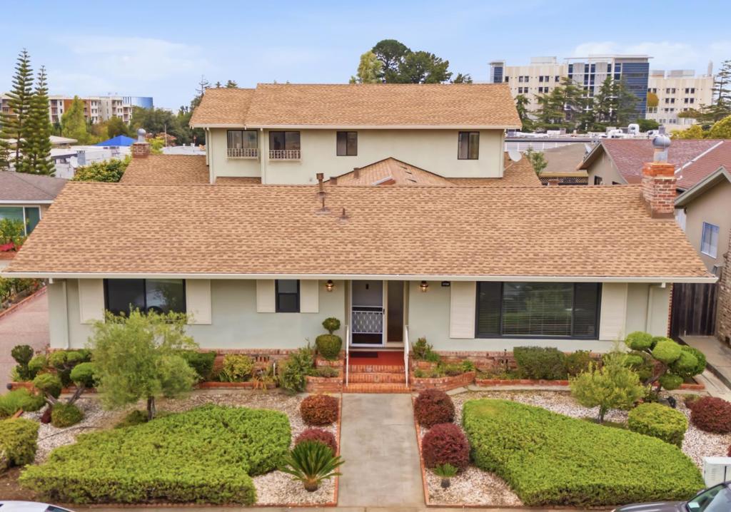
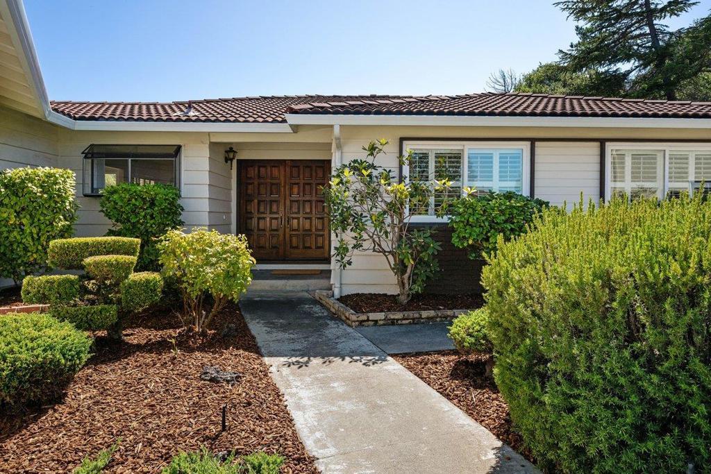
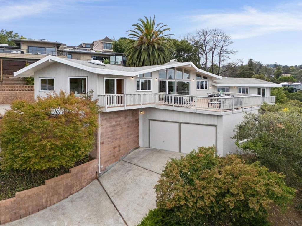
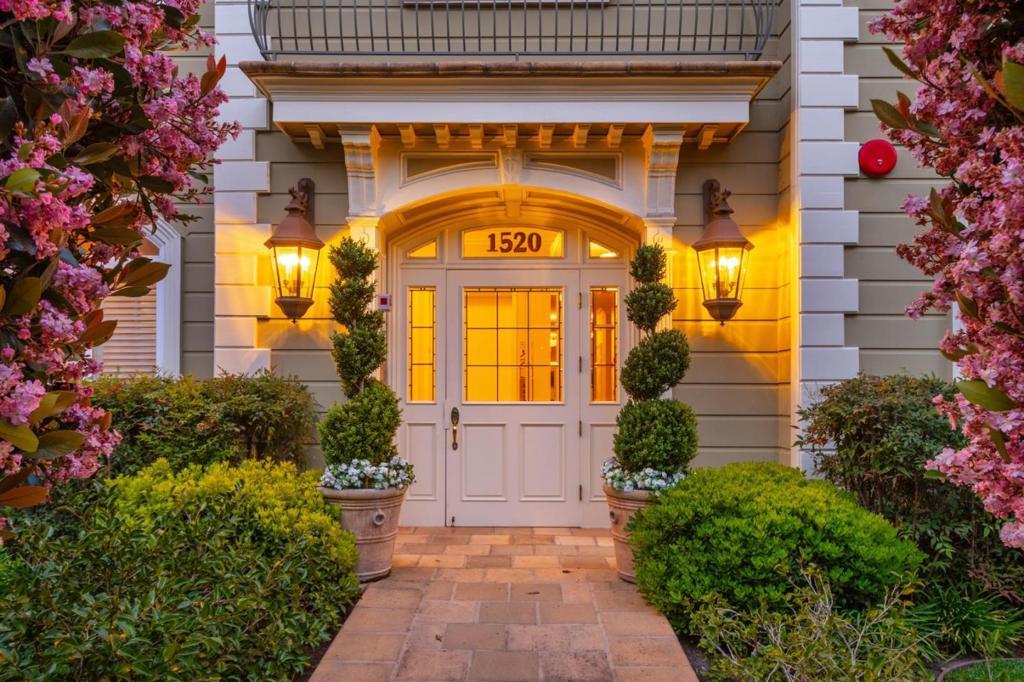
Burlingame CA Homes for Sale
Burlingame CA Homes for Sale currently number 54 active listings with a median asking price of $2,850,000 (CRMLS, September 2026).
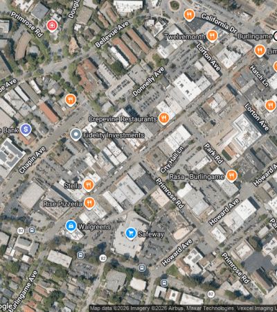
Most buyers looking at Burlingame CA homes for sale are paying for position and walkability rather than land. The city sits on the San Francisco Peninsula in San Mateo County, roughly 15 miles south of San Francisco and about three miles from SFO, with Caltrain running down California Drive and BART connections a stop north at Millbrae. Downtown Burlingame carries a Walk Score of 93, and Broadway gives the city a second working retail street. Single-family prices run in the high-$2 millions; condominiums downtown have listed from the mid-$700,000s to about $1.6 million.
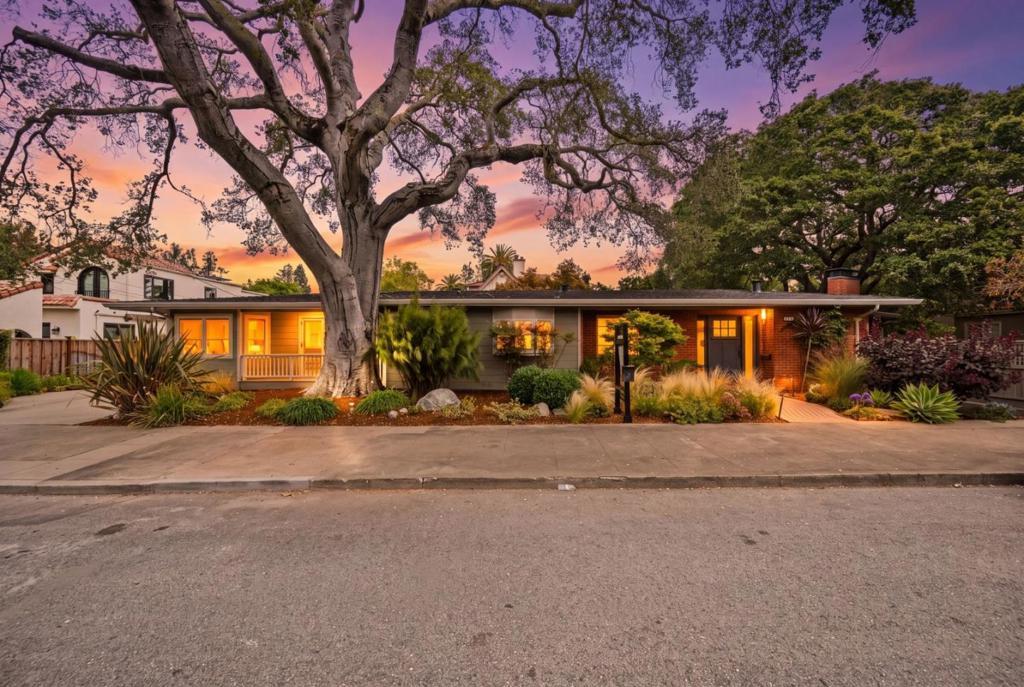
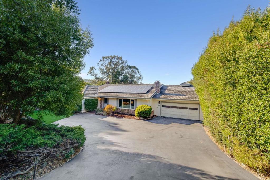
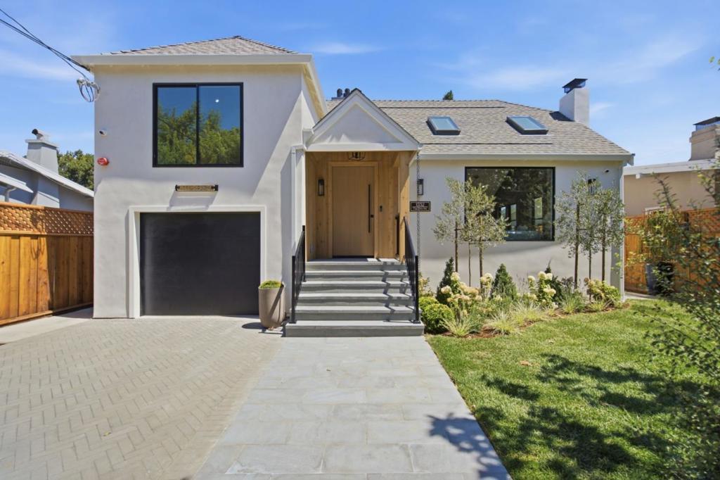
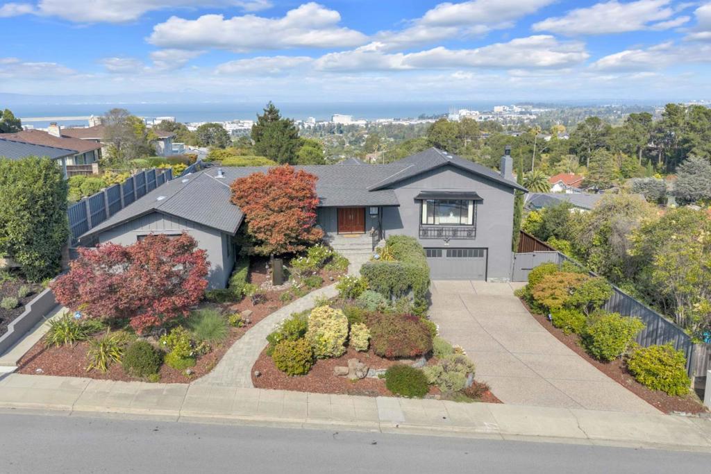
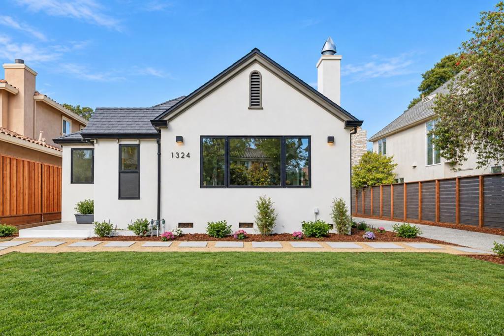
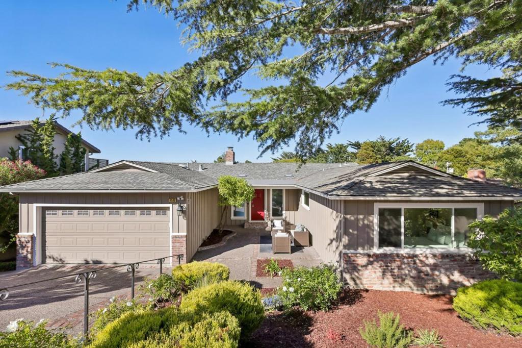
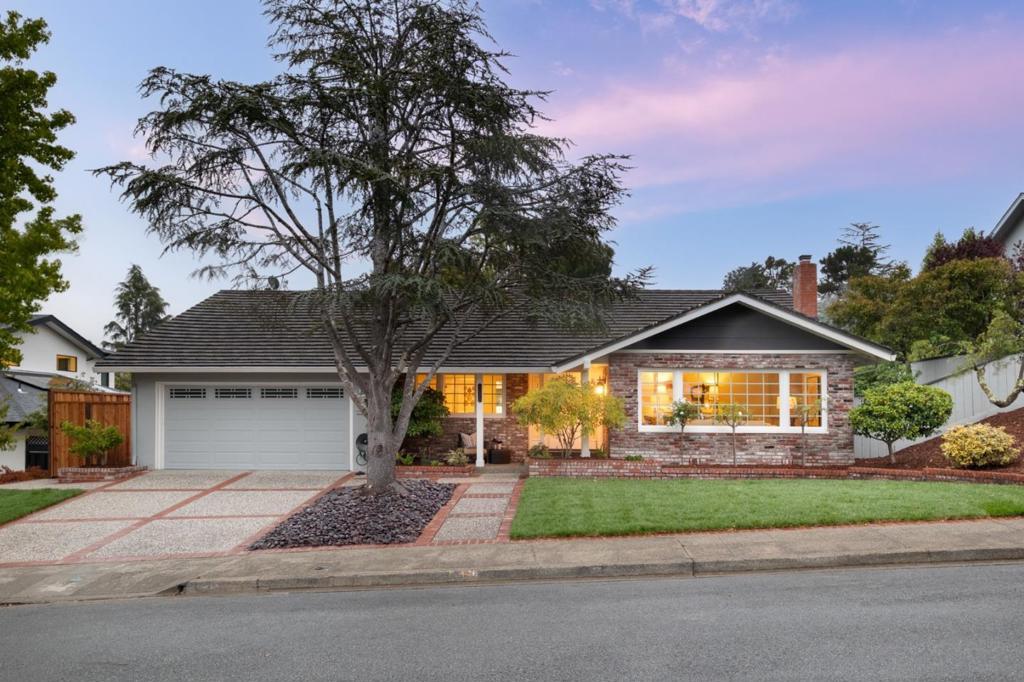
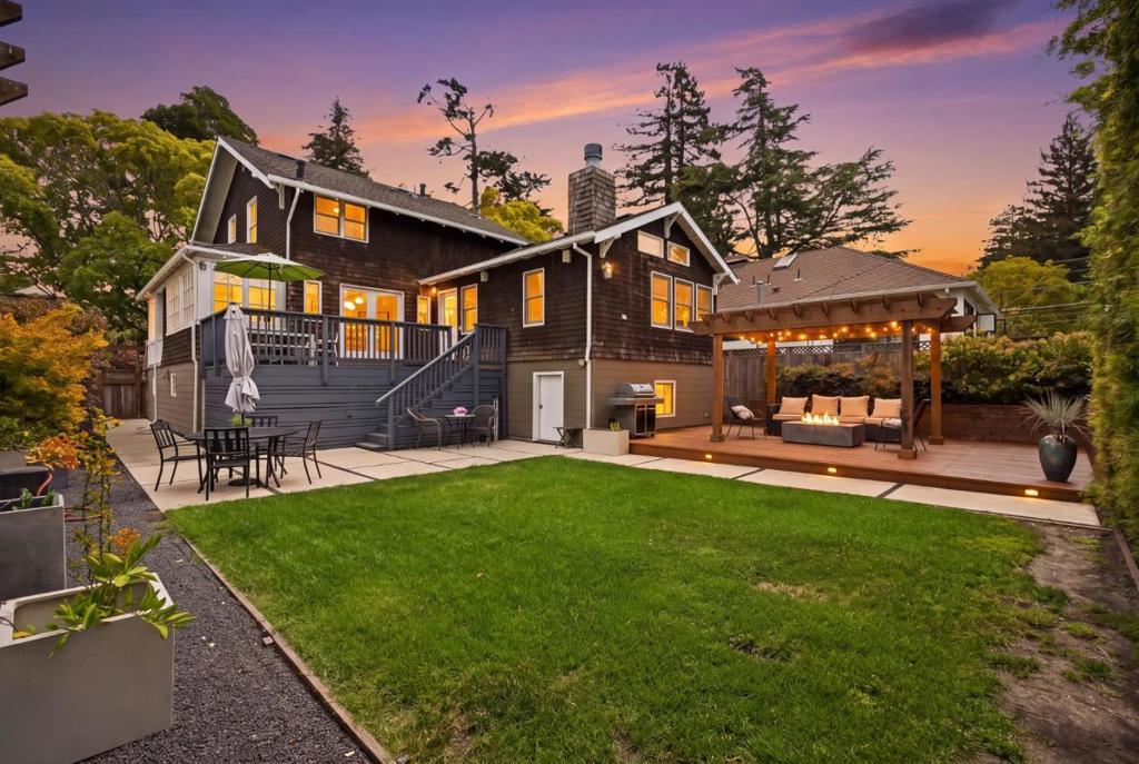
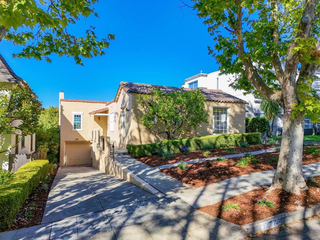
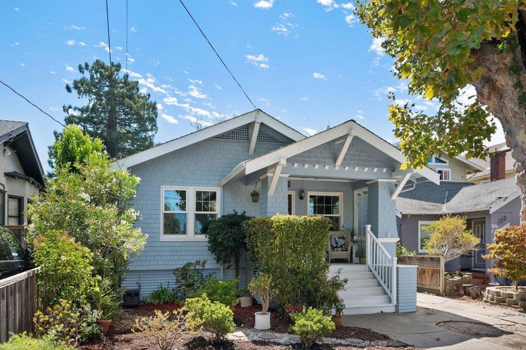
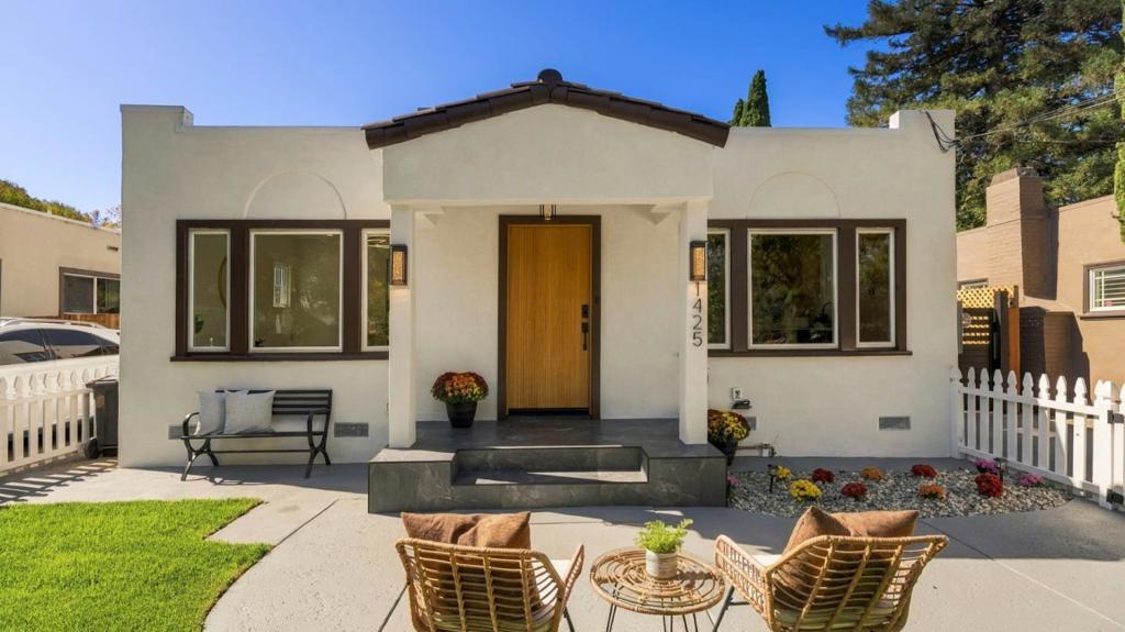
The housing stock is mostly early-1900s through 1940s subdivisions with a hillside wave in the 1950s and 60s, so expect period architecture, mature street trees, and modest lots. Where you buy matters: Burlingame Park and Easton Addition sit at the top, Lyon Hoag has historically been the more attainable entry, and downtown is where the condominiums are.
Browse the active Burlingame listings below, or contact The Knight Group to talk through which neighborhood matches how you want to live and what you want to spend.
Why do buyers choose Burlingame over other Peninsula cities?
Three reasons come up repeatedly, and they are structural rather than sentimental.
The first is position on the corridor. U.S. 101 runs through the city, I-280 sits just west, and California Drive connects downtown, the Burlingame Caltrain station, and the Millbrae intermodal station where BART, Caltrain, and SFO service converge.
The second is the downtown. Burlingame Avenue is a working retail street rather than a strip of offices, and Walk Score has rated the Downtown Burlingame neighborhood at 93. Broadway, a separate commercial spine to the north, gives the city a second walkable district. A city of about 32,000 people with two functioning main streets is not the norm on the Peninsula.
The third is the housing stock. Much of Burlingame was subdivided between 1905 and the 1940s, with a second wave of hillside development in the 1950s and 1960s. The result is block after block of period architecture under mature street trees.
The trade-off: lots are modest, many houses are original in their systems even when cosmetically updated, and competition for the well-located ones is persistent.
What does it cost to buy a home in Burlingame right now?
Burlingame is a multi-million-dollar single-family market with a smaller, considerably more accessible condominium market underneath it.
On the house side, Redfin recorded 30 Burlingame sales in June 2026 at a median price of $2,912,500, and reported a median near $2.9 million across the three months ending April 2026, up 0.8 percent year over year. Houzeo’s 2026 city page reports a median of $2,775,000, up 0.26 percent. The spread is normal: different sources use different date windows and property mixes. Both agree Burlingame has flattened at a high level rather than corrected.
Inventory is the pressure point. Market trackers reporting through mid-2026 describe supply well under one month and homes routinely closing above list. Well-prepared listings draw multiple offers, and buyers who need contingencies compete on terms rather than price.
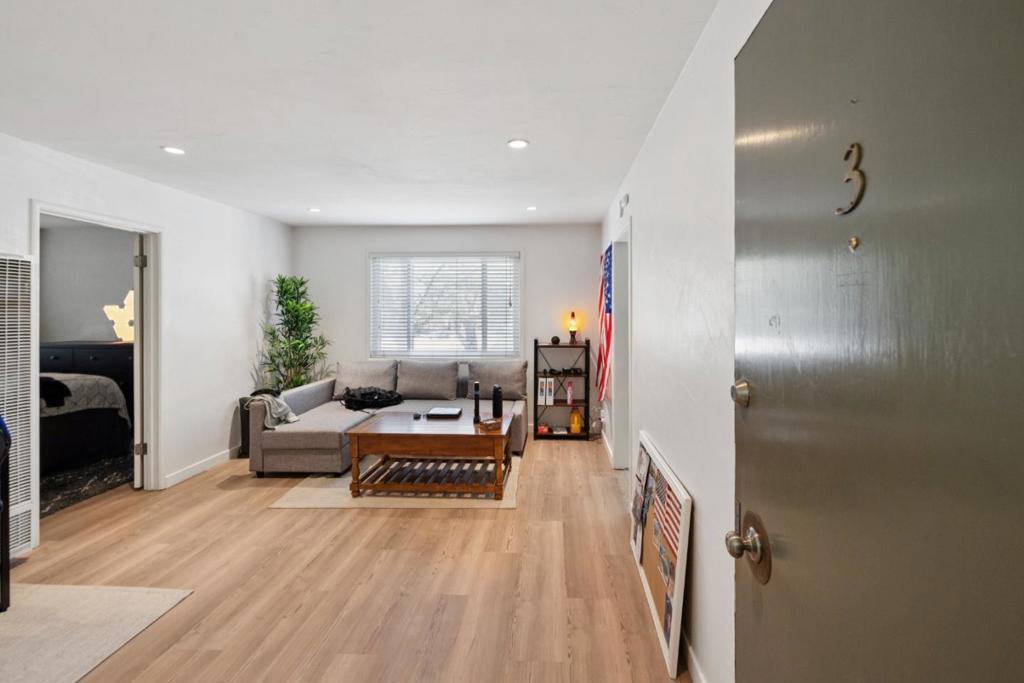
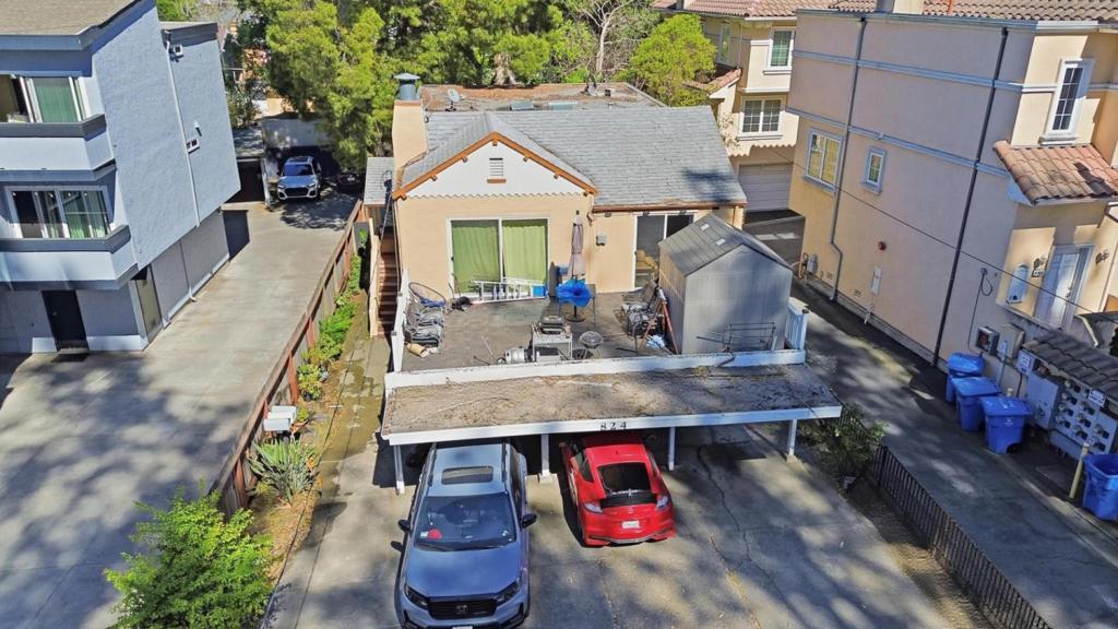
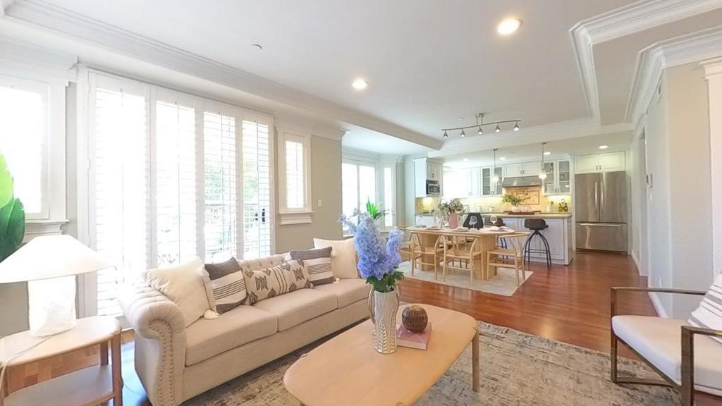
Condominiums are the other half of the story. Redfin’s Downtown Burlingame data has shown condos listed roughly from the mid-$700,000s to about $1.6 million at sizes between roughly 826 and 1,600 square feet. That is the entry point for buyers who want the address and the walkability without a $2.9 million commitment.
Neighborhood variation is why we never quote one citywide number. A three-bedroom in the flats and a three-bedroom in Burlingame Park are the same house on paper and different assets in practice.
Which Burlingame neighborhoods should you be looking at?
Burlingame is a collection of named subdivisions platted individually across a 50-year span: Burlingame Park, Burlingame Gardens, Burlingame Gate, Burlingame Grove, Burlingame Hills, Burlingame Terrace, Burlingame Village, Easton Addition, Lyon Hoag, Mills Estates, Oak Grove Manor, Polo Field, Ray Park, and Skyline Manor. Here is how the main ones differ.
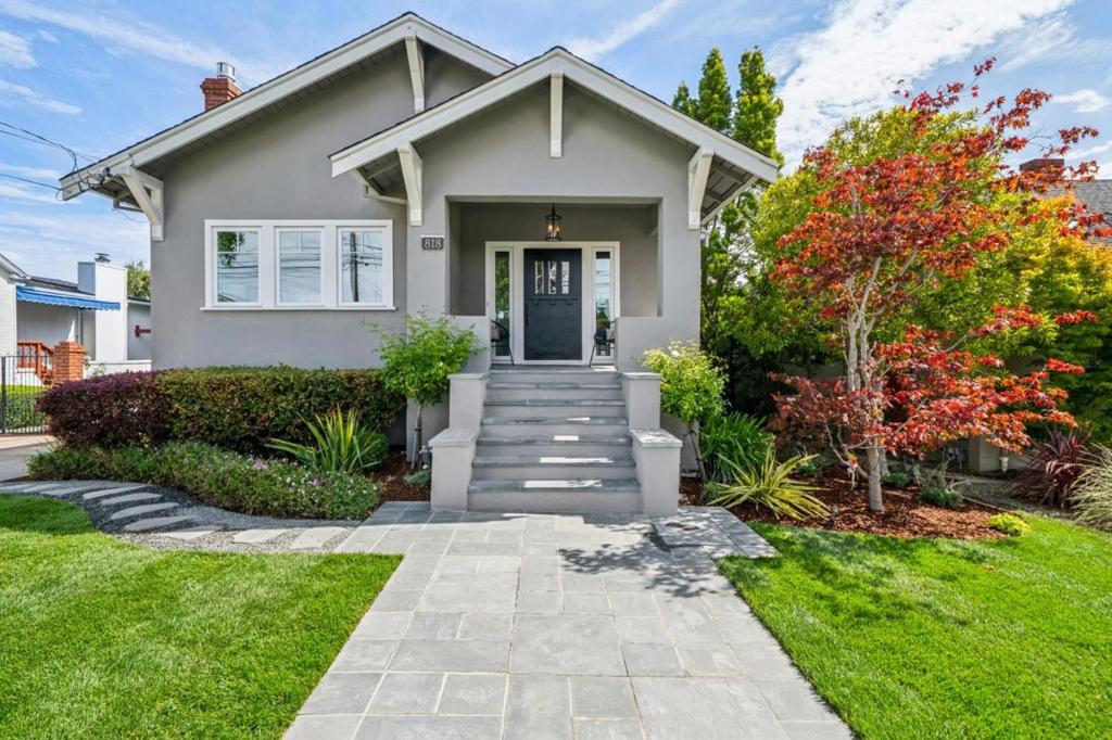
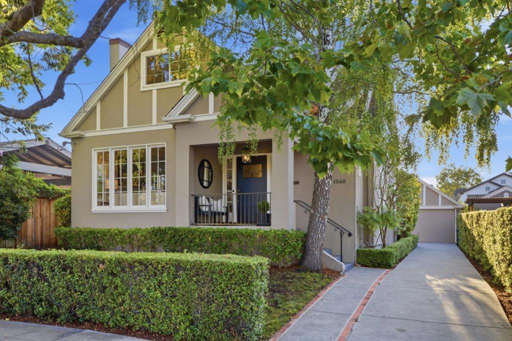
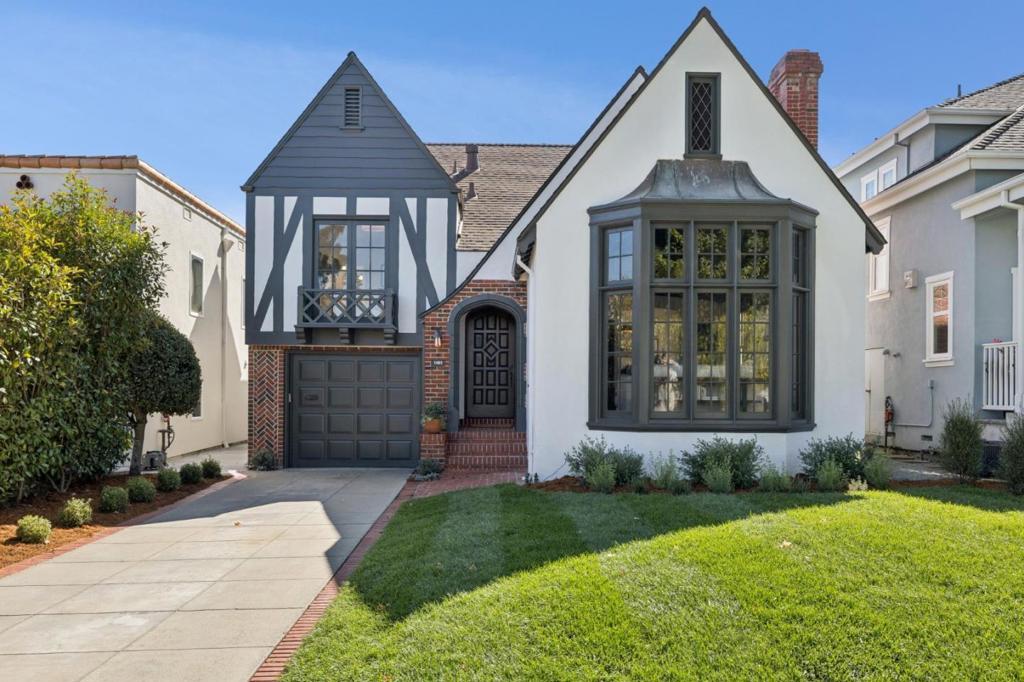
Burlingame Park is one of the city’s oldest and most expensive neighborhoods, defined by Tudor Revivals with steep-pitched roofs, 1930s bungalows, and larger-than-average lots. Two of the five English Tudor-style cottages built in 1893 still stand in their original locations just north of St. Paul’s Episcopal Church, which tells you how far back development here goes.
Easton Addition is the other top-tier neighborhood. It is named for Ansel Mills Easton, who subdivided his parents’ 1,500-acre Black Hawk ranch west of El Camino Real in the decades around World War I, and the earliest subdivision map on file with the county dates to 1905. It is called an Addition because it was not inside the city limits when Burlingame incorporated in 1908.
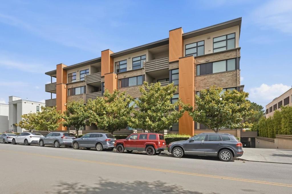
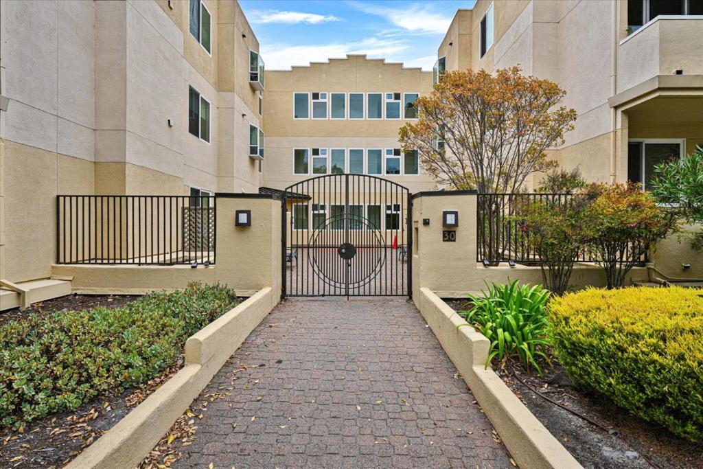
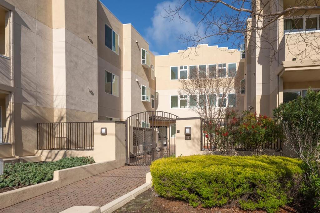
Downtown Burlingame is the city’s densest residential pocket, made up largely of apartments and condominiums. It is anchored by Burlingame Avenue and runs between El Camino Real on the west and California Drive on the east, bounded by Oak Grove Avenue to the north and Peninsula Avenue to the south at the San Mateo line. Caltrain, Washington Park, and the retail district are all on foot.
Lyon Hoag is Burlingame’s oldest subdivision, tracing to 1906 on land the Howard family had used as a dairy. Its housing stock is the most eclectic in the city: Craftsman, bungalow, Mediterranean Revival, Tudor Revival, cottage, ranch, and contemporary, built from 1908 into the 2020s. It is walkable to downtown and Burlingame High School, and it has historically been one of the more attainable entry points into the city.
Mills Estates occupies land once part of financier Darius Ogden Mills’ 1,500-acre estate. The 42-room Mills mansion stood into 1954 near where Mills High School is today; the northernmost section of Burlingame was created by annexing the bulk of that estate the same year, after which the land was subdivided for postwar housing. The result is ranch and midcentury modern homes built from the 1950s through the 1970s, some of them Eichler designs, many with Bay views and quick I-280 access.
Burlingame Village was developed during and immediately after World War II on the former Mills estate, alongside Ray Park. Village Park sits at its center with an open field, a full basketball court, and a preschool, and Lincoln Elementary is just across El Camino Real. It is also the part of town most likely to smell like chocolate, thanks to longtime local manufacturer Guittard.
Burlingame Hills is the elevated western edge and the most jurisdictionally complicated pocket in the city. About 850 homes make up the Hills, and roughly half sit in unincorporated San Mateo County rather than inside city limits. Lots are larger, views are wider, I-280 access is direct, and Mills Canyon trails and the Skyline off-leash area are nearby. Confirm which jurisdiction a parcel falls in before assuming anything about permitting or services.
Polo Field takes its name literally. In 1922 the city appropriated $30,000 to buy 10 acres of former polo grounds northeast of the Burlingame Avenue railroad station, part of Francis Carolan’s Crossways Farm, which had a racetrack, stables, a polo field, and a pavilion. Today it is a compact residential pocket close to the rail corridor.
Burlingame Grove is a small, tree-lined neighborhood a short walk from the Broadway shopping and dining district. It suits buyers who want the second downtown rather than the main one, usually at a lower entry price than Burlingame Park or Easton Addition.
Burlingame Gardens is a 1936 subdivision of 103 lots, with original streets including Toyon Drive, Larkspur Drive, Ross Road, and Azalea Avenue. Its architecture is mixed: Spanish Mediterranean, period homes with A-line rooflines, and midcentury properties on the same blocks.
What kinds of homes does Burlingame actually have?
Four broad categories, and knowing which one you are shopping changes your inspection strategy.
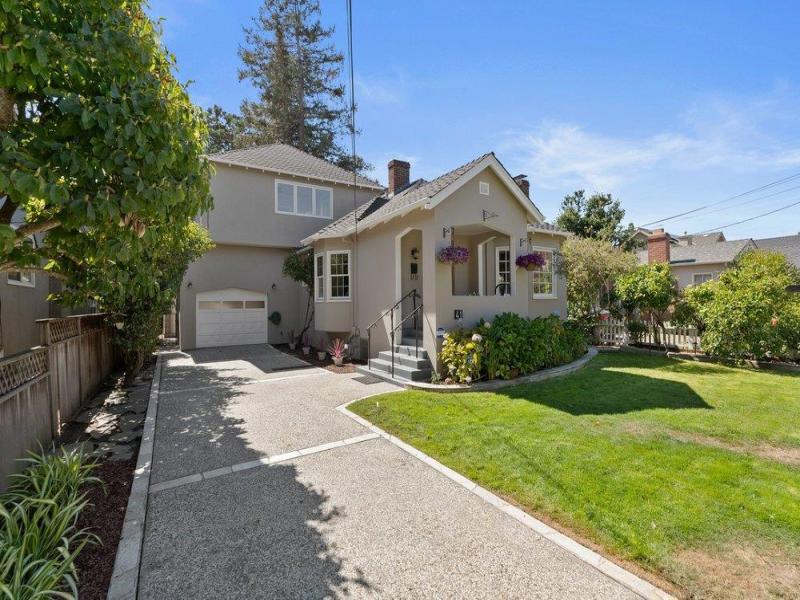
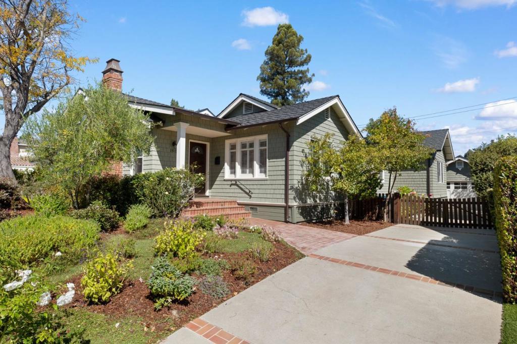
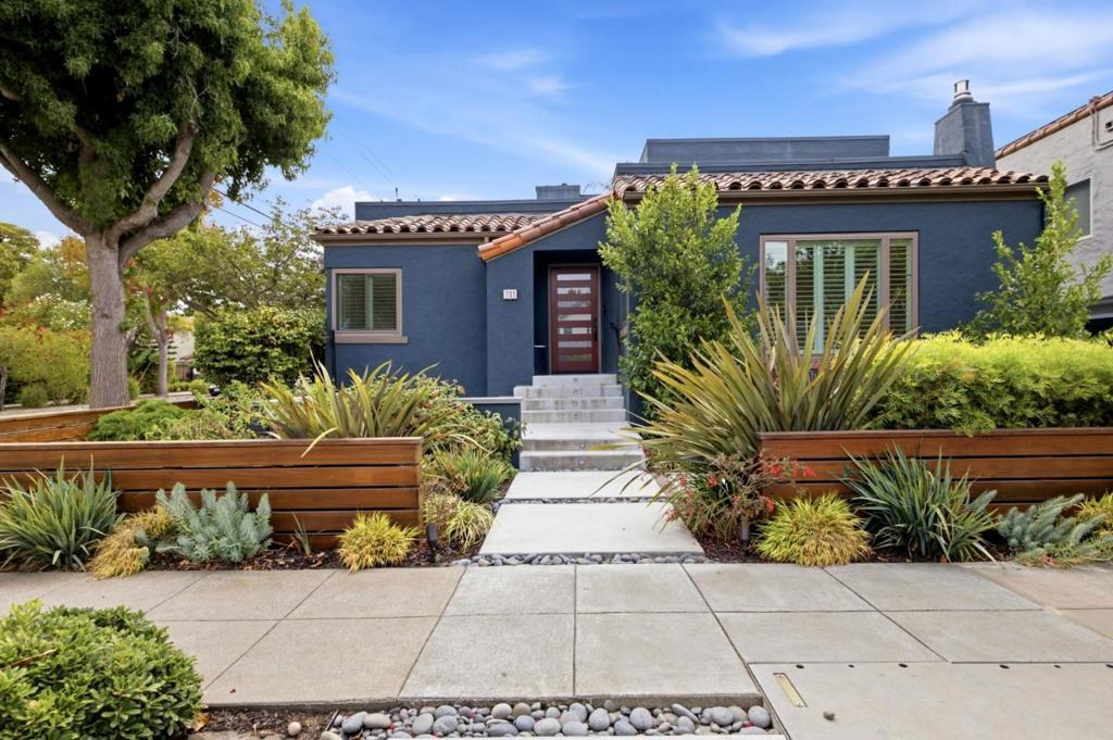
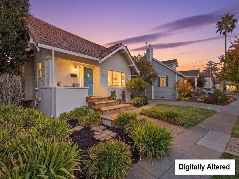
Period single-family houses from roughly 1905 to 1940 dominate the flats and older subdivisions: Tudor Revival, Craftsman, Spanish and Mediterranean Revival, and bungalows. They give Burlingame its streetscape. They also carry the issues you expect from century-old construction: knob-and-tube remnants, galvanized supply lines, unreinforced foundations, and additions of varying permit history.
Postwar and midcentury houses fill Mills Estates, Burlingame Village, and Ray Park, including a meaningful number of midcentury modern designs and Eichlers. Eichler ownership is its own discipline: radiant slab heating, low-slope roofs, and single-pane glazing each require specific diligence. Hillside homes in Burlingame Hills sit on larger, irregular lots, often with view premiums and with retaining walls, drainage, and slope conditions a standard inspection will not fully address.
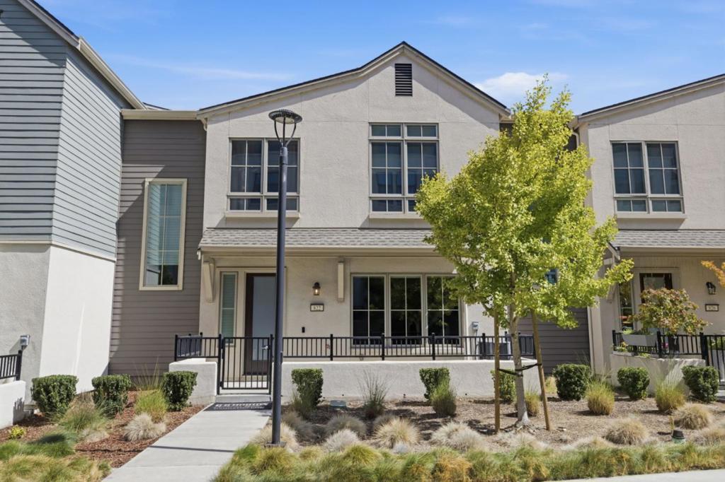
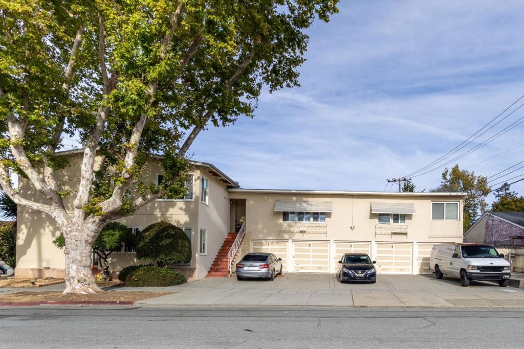
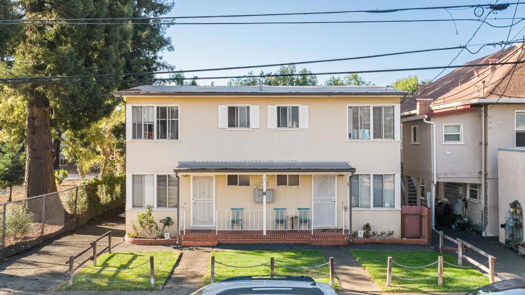
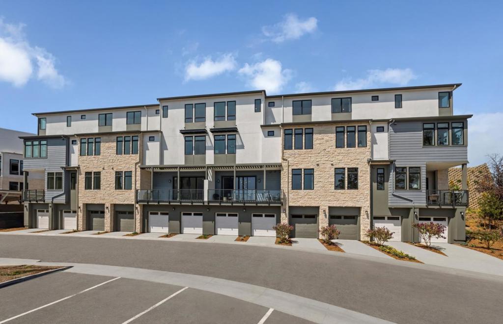
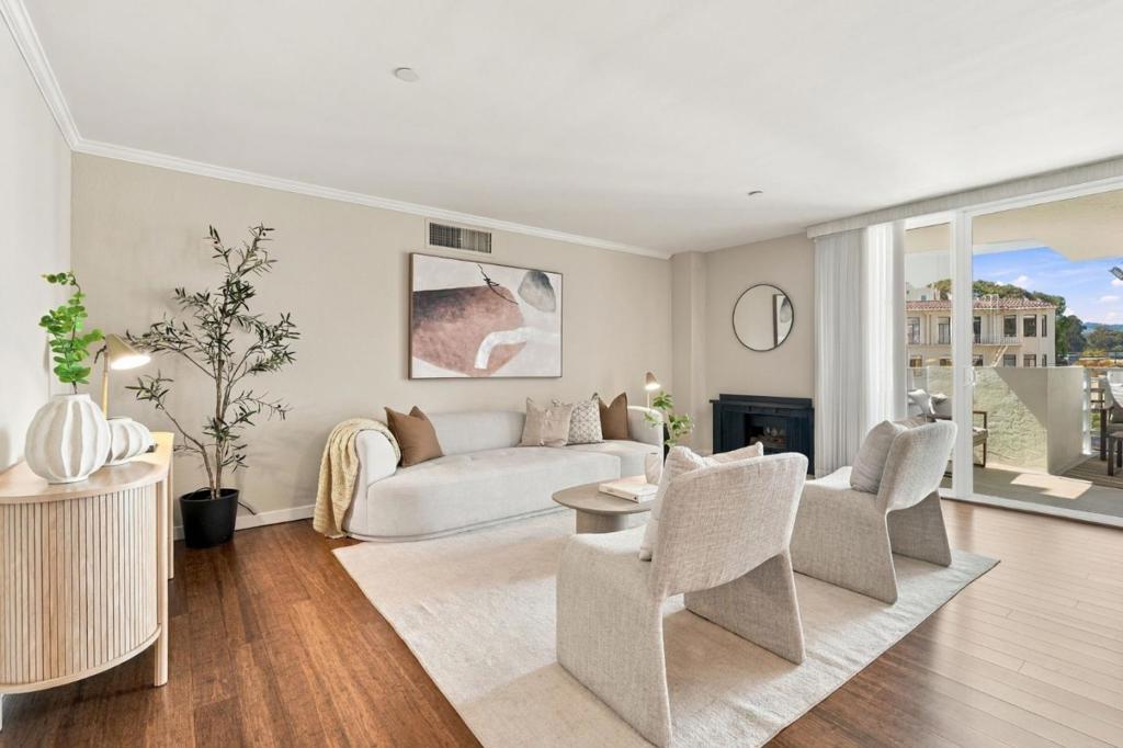
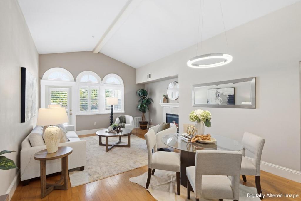
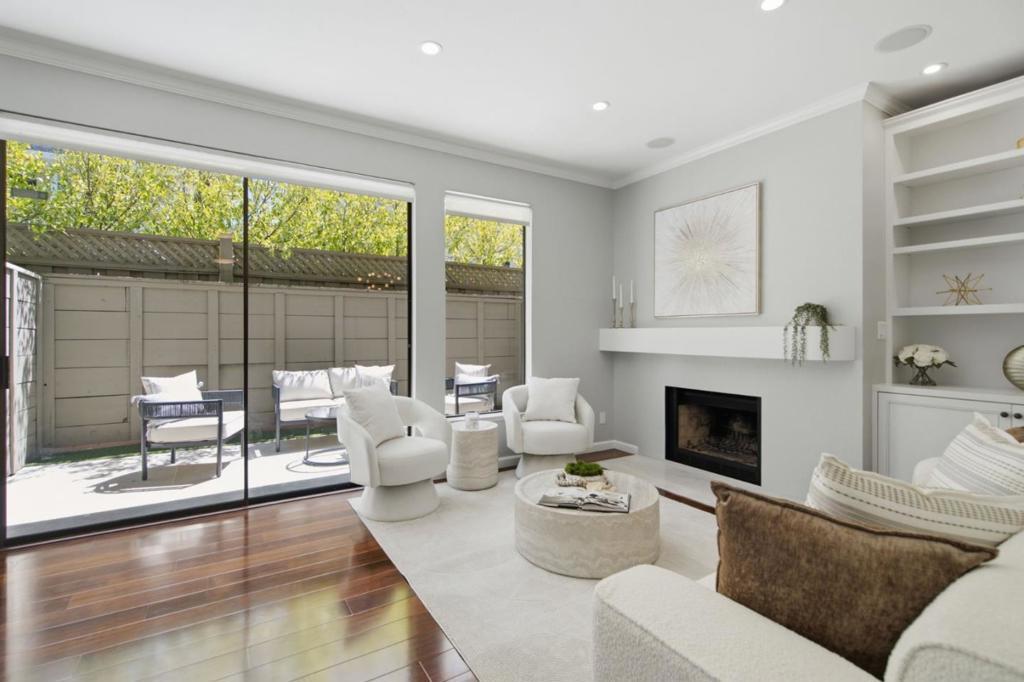
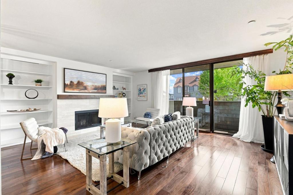
Condominiums and townhomes are concentrated downtown and along El Camino Real, governed by a homeowners association and by California’s Davis-Stirling Common Interest Development Act, which sets the rules for governance, assessments, and the seller’s disclosure package. Review the reserve study and the association’s litigation history before you go firm, not after.
Which schools serve Burlingame addresses?
Burlingame runs on a two-district structure, which surprises buyers from unified-district markets.
Elementary and middle grades fall under the Burlingame School District, a K-8 district serving roughly 3,312 students across seven schools: Franklin, Hoover, Lincoln, McKinley, Roosevelt, and Washington elementary schools, plus Burlingame Intermediate School for grades six through eight.
High school falls under the San Mateo Union High School District, which serves approximately 9,000 students in grades nine through twelve across Burlingame, Foster City, Hillsborough, Millbrae, San Bruno, and San Mateo. Burlingame High School is the comprehensive four-year campus in the city, with 1,583 students reported for 2024-2025.
Assignment is address-driven and boundaries do not follow neighborhood names, so verify enrollment for the specific parcel with the district rather than relying on listing copy.
How is the commute from Burlingame?
Strong, with one asterisk.
Caltrain serves the Burlingame station downtown on the main line. The city’s second station, Broadway, was built for the Southern Pacific in 1911, but since 2005 Caltrain has served it only on weekends and holidays; weekday riders take a bus shuttle to Millbrae instead. That is scheduled to change. Caltrain’s Burlingame Broadway Grade Separation Project is planned to open by the end of 2028 and includes a rebuilt Broadway station, which would clear the way for weekday service to return. Local merchants have been pushing for exactly that.
Millbrae station, one stop north, is the transfer point to BART and SFO. Driving, both the San Francisco and Silicon Valley commutes are direct. SamTrans and the Millbrae-Burlingame commuter shuttle cover local trips, including stops at Mills-Peninsula Medical Center and along Adeline Drive. From central Burlingame, SFO is roughly three miles and a 10 to 15 minute drive.
If Broadway weekday rail matters to your commute math, buy on the assumption it is not there yet and treat a 2028 restoration as upside.
What is daily life like in Burlingame?
Burlingame Avenue is the center of retail and dining, and Broadway is the smaller, neighborhood-scale alternative. Washington Park anchors the park system near downtown, and the city also maintains Ray Park, Cuernavaca Park, Mills Creek Canyon Park, Victoria Park, Alpine Park, Bayfront Park, and Bayside Park. Mills Canyon offers trail access on the west side; the Bayfront parks cover the east.
Health care is local: Sutter Health’s Mills-Peninsula Medical Center operates its Burlingame campus in the city.
The tree canopy is not marketing language. The 1908 ordinance and more than 18,000 maintained public trees are why the residential streets read the way they do, and also why tree removal on private property is regulated. Check those rules before planning an addition.
What risks should you check before buying in Burlingame?
Flood and sea level rise are the material ones, and they are documented by the city itself.
Burlingame’s Bayfront sits between Highway 101 and San Francisco Bay, is low-lying, and is protected only minimally by existing riprap floodwalls. The city reports that the majority of its land area falls within FEMA and Department of Water Resources mapped flood hazard zones, and that those zones include significant commercial and residential development, not just the shoreline. San Francisco Bay Conservation and Development Commission projections indicate most of the Bayfront Area and parts of Rollins Road could be permanently inundated by 2070. The Millbrae and Burlingame Shoreline Resilience Project, run through OneShoreline, is the regional response.
The buyer action is straightforward: pull the flood zone determination for the parcel, get a flood insurance quote before removing contingencies, and price it into carrying cost. Homes on the higher western side carry a different profile than those near the freeway and the Bay.
Second, jurisdiction. In Burlingame Hills, roughly half the homes are in unincorporated San Mateo County. Sewer there is operated by the county through the Burlingame Hills Sewer Maintenance District, which sets rates and bills directly, and fire response runs through Cal Fire. Permitting and some road maintenance also follow the county. Confirm which agency governs the address before you budget a remodel.
Third, age. In the pre-war neighborhoods, seismic retrofit status, foundation condition, sewer lateral condition, and permit history for past additions are the four items that most often change a deal.
What are the rent and development rules in Burlingame?
Burlingame has no local rent control ordinance, and it cannot easily adopt one. Ordinance 1356, adopted by voters as Measure T, prohibits rent control or other direct regulation of sale, lease, or rental prices in the city. Statewide, California’s AB 1482 caps annual rent increases at 5 percent plus local CPI or 10 percent, whichever is lower, through January 1, 2030, and exempts housing built within the previous 15 years. Underwrite to the state rule and verify exemption status for the specific property.
On the development side, the City Council adopted the 2023-2031 Housing Element in December 2023. It plans for a Regional Housing Needs Allocation of 3,257 units across the eight-year cycle: 863 very low income, 497 low income, 529 moderate income, and 1,368 above moderate income. The identified opportunity areas are Downtown, the North Rollins Road Mixed Use area, the North Burlingame Mixed Use area, and the El Camino Real priority development area.
The read: single-family neighborhoods are not where the density is going. The corridors are. If you are buying near El Camino Real, Rollins Road, or the downtown edge, check what the housing element permits on the parcels around you before you close.
Is Burlingame a market for investors?
It is a low-yield, high-durability market, and it should be underwritten that way. At a citywide single-family median near $2.8 to $2.9 million per Redfin and Houzeo’s 2026 reporting, gross yields on houses are thin. The case here has historically been appreciation, land value, and tenant quality rather than cash flow.
The more affordable neighborhoods, including Lyon Hoag and parts of Easton Addition, are most often cited as having the better rent-to-price relationship, and downtown condominiums offer a lower basis with dues to model against. We will tell you plainly if the numbers do not work, and that conversation belongs before you write an offer.
How Should You Weigh Location Against the House Itself?
The hardest trade-off in Burlingame real estate is that the two things buyers want most — a well-located block and a house that needs nothing — rarely arrive together. A home built in the 1910s or 1920s may have a renovated kitchen and original wiring, plumbing, and foundation behind it. Budget for inspections that go past the cosmetic layer, and price the deferred work into what you offer rather than discovering it after close. On a modest lot, expansion options are also limited, so square footage you can actually use matters more here than in cities where you can build out later.
Your realistic options split three ways. Buy in a top-tier neighborhood and accept a smaller or less updated house. Look to the flats and eclectic older subdivisions, where the entry point has historically been lower. Or take the downtown condominium route, which trades land and privacy for the shortest walk to Caltrain and the retail streets.
Frequently Asked Questions About burlingame Homes for Sale
How expensive is Burlingame compared to the rest of San Mateo County?
Upper tier. Redfin’s June 2026 data showed a median sale price of $2,912,500 across 30 sales, while Houzeo reported a citywide 2026 median of $2,775,000. Both sit well above the county midpoint, though below the estate markets of Hillsborough and Atherton next door.
Which Burlingame neighborhood is the most expensive?
Burlingame Park and Easton Addition are consistently identified as the highest-priced neighborhoods with the strongest long-run appreciation. Both are early subdivisions with period architecture and larger lots than the city average.
What is the cheapest way into Burlingame?
Downtown condominiums. Redfin has shown Downtown Burlingame condos from roughly the mid-$700,000s to about $1.6 million. Among houses, Lyon Hoag is the neighborhood most often cited as the more attainable entry point.
Is Burlingame walkable?
The downtown core is. Walk Score has rated the Downtown Burlingame neighborhood 93. Walkability drops as you move west and uphill toward Burlingame Hills, where terrain and lot sizes make a car necessary.
Does Burlingame have rent control?
No. Ordinance 1356, adopted by voters as Measure T, prohibits the city from regulating rents or sale prices. California’s statewide AB 1482 cap still applies to qualifying properties through January 1, 2030.
Is part of Burlingame outside the city limits?
Yes. About half of the roughly 850 homes in Burlingame Hills are in unincorporated San Mateo County, with county-provided services including sewer through the Burlingame Hills Sewer Maintenance District and fire response through Cal Fire.
Will weekday train service return to the Broadway station?
That is the plan, not committed service. The Burlingame Broadway Grade Separation Project is scheduled to open by the end of 2028 with a new station, which would allow weekday service to be restored. Today the stop is served weekends and holidays only, with a weekday shuttle to Millbrae.
How close is Burlingame to SFO?
Close enough that flight noise and flight convenience are both real considerations. From central Burlingame the airport is roughly three miles and a 10 to 15 minute drive.
How does The Knight Group work in Burlingame?
We work parcel by parcel, not city by city. Burlingame is small enough that a citywide average tells you almost nothing useful: flood zone, school boundary, jurisdiction, and subdivision all change within a few blocks. Before you tour, we pull the specifics for the addresses on your list, including flood determination, permit history, and which agency governs the property.
For buyers, that means a shortlist built around your constraints rather than whatever is newest on the market, plus a candid read on what a house will need in the first three years. In a market running under one month of supply, preparation is the only real advantage available. For sellers, it means pricing to the neighborhood and the condition rather than the citywide median, and preparing the property so the disclosure package does not cost you leverage after offers arrive.
Review the current Burlingame listings below. When you are ready to move from browsing to a plan, contact The Knight Group and we will start with your budget, your commute, and the streets worth your time.
What are Burlingame CA Homes actually like to buy?
- Burlingame CA Homes sit on the San Francisco Peninsula in San Mateo County, south of San Francisco and a short hop from SFO.
- Buyers looking at Burlingame CA Homes are paying for position on the corridor and walkability rather than for land.
- Caltrain runs down California Drive, connecting downtown Burlingame to the Millbrae intermodal station where BART, Caltrain, and airport service converge.
- Downtown Burlingame carries a high Walk Score, and Broadway gives the city a second working retail street to the north.
- Burlingame Avenue functions as a genuine retail street rather than a strip of offices, which is unusual on the Peninsula.
- Housing stock across Burlingame is mostly early subdivisions, followed by a later wave of hillside development further west.
- Period architecture under mature street trees defines block after block of the residential streets throughout the city.
- Lot sizes are modest, a direct trade-off for the walkable position that draws buyers to Burlingame in the first place.
- Many Burlingame CA Homes remain original in their systems even where kitchens and baths have been cosmetically updated.
- Competition for well-located houses is persistent, and inventory sits well under the level a balanced market would show.
- Single-family pricing runs in the multi-million range, making Burlingame a high-cost market that has flattened rather than corrected.
- Downtown condominiums form a smaller and considerably more accessible market underneath the single-family houses.
- Condominiums downtown are the entry point for buyers who want the address and walkability without a full house commitment.
- Burlingame Park and Easton Addition sit at the top of the market, while Lyon Hoag has historically been the more attainable entry.
- Named subdivisions include Burlingame Gardens, Burlingame Gate, Burlingame Grove, Burlingame Hills, Mills Estates, Oak Grove Manor, Polo Field, and Ray Park.
What should I know before buying Burlingame CA Homes?
- Caltrain serves the Burlingame station downtown on the main line, making rail commuting straightforward from the center of the city.
- Broadway station, built originally for the Southern Pacific, is served only on weekends and holidays, with a weekday shuttle to Millbrae.
- Buyers weighing Burlingame CA Homes on rail access should assume Broadway weekday service is not there yet and treat restoration as upside.
- Millbrae station one stop north is the transfer point to BART and to airport service.
- SamTrans and the Millbrae-Burlingame commuter shuttle cover local trips, including stops at Mills-Peninsula Medical Center and along Adeline Drive.
- Washington Park anchors the park system near downtown, with Broadway serving as the smaller neighborhood-scale retail alternative.
- City parks include Ray Park, Cuernavaca Park, Mills Creek Canyon Park, Victoria Park, Alpine Park, Bayfront Park, and Bayside Park.
- Mills Canyon offers trail access on the west side, while the Bayfront parks cover open space on the east.
- Sutter Health operates the Mills-Peninsula Medical Center campus within Burlingame, keeping hospital care local for residents.
- Burlingame’s tree ordinance and thousands of maintained public trees explain why residential streets read the way they do.
- Tree removal on private property is regulated in Burlingame, so owners planning an addition should check the rules first.
- Flood and sea level rise are the material documented risks for Burlingame CA Homes, especially near the freeway and the Bay.
- Burlingame’s Bayfront sits low between the highway and San Francisco Bay, protected only minimally by existing riprap floodwalls.
- Flood hazard mapping covers the majority of the city’s land area, including significant commercial and residential development beyond the shoreline.
- Buyers should pull the parcel flood zone determination, get an insurance quote before removing contingencies, and price it into carrying cost.
- Burlingame Hills contains homes in unincorporated San Mateo County, where county sewer, Cal Fire response, and county permitting govern the address.
How do Burlingame CA Homes compare to the rest of the county?
- Burlingame CA Homes sit in the upper tier of San Mateo County pricing, well above the county midpoint overall.
- Estate markets in neighboring Hillsborough and Atherton still price above Burlingame, placing the city just below the county’s top end.
- Burlingame Park and Easton Addition are consistently identified as the highest-priced neighborhoods with the strongest long-run appreciation.
- Both Burlingame Park and Easton Addition are early subdivisions with period architecture and larger lots than the city average.
- Downtown condominiums are the cheapest way into Burlingame CA Homes for buyers who want the address without a house budget.
- Lyon Hoag is the neighborhood most often cited as the more attainable entry point among Burlingame houses.
- Walkability in Burlingame concentrates in the downtown core, where the Walk Score rating is high.
- Walkability drops moving west and uphill toward Burlingame Hills, where terrain and lot sizes make a car necessary.
- California’s statewide rent cap still applies to qualifying properties in Burlingame regardless of the local prohibition.
- About half the homes in Burlingame Hills fall outside city limits in unincorporated San Mateo County.
- County services in unincorporated Burlingame Hills include sewer through the Burlingame Hills Sewer Maintenance District and fire response through Cal Fire.
- Weekday rail service at Broadway station is planned rather than committed, pending a grade separation project with a new station.
- Broadway station is served weekends and holidays only today, with a weekday shuttle running to Millbrae.
- Proximity to SFO makes both flight noise and flight convenience real considerations for buyers evaluating Burlingame CA Homes.
- The Knight Group works parcel by parcel, pulling flood determination, permit history, and governing agency before clients tour any address.