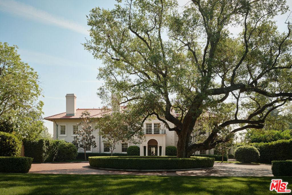
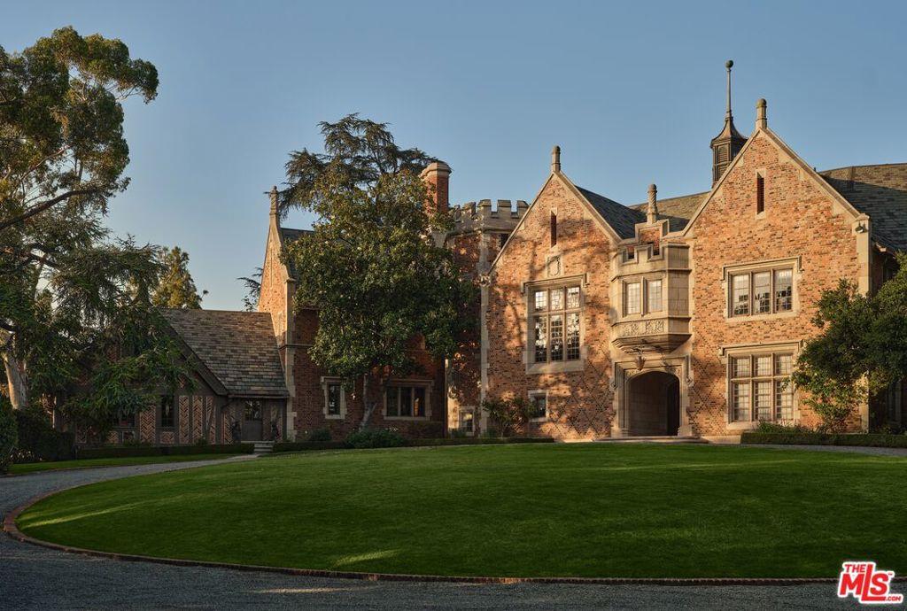
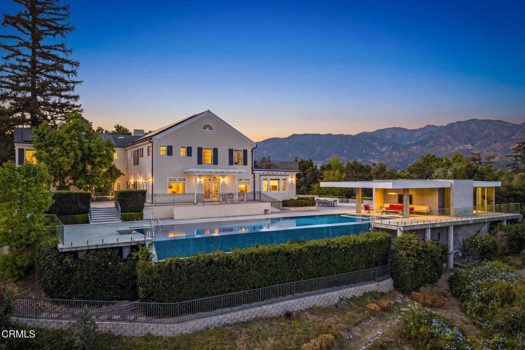
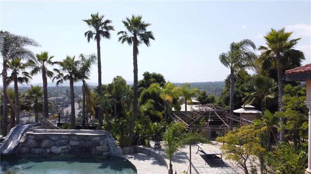
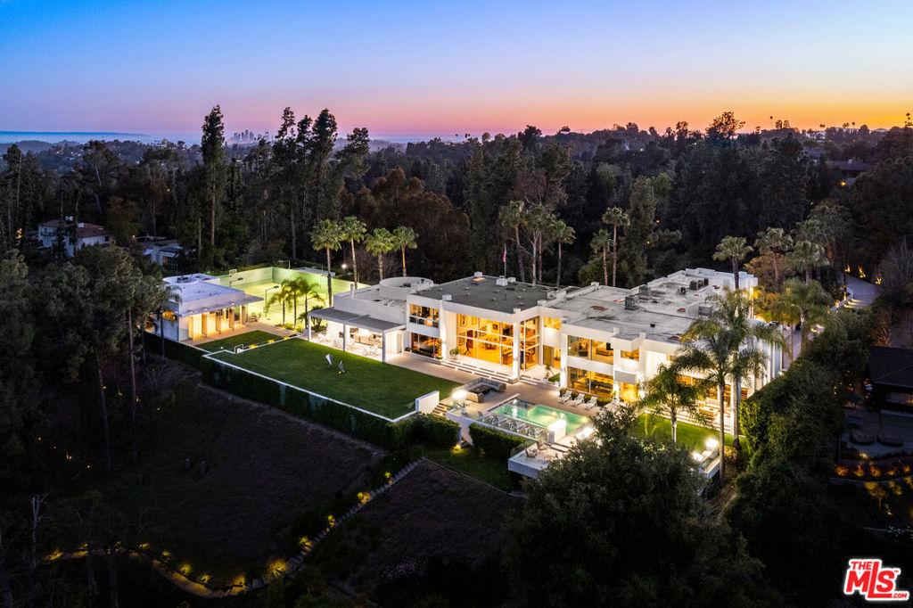
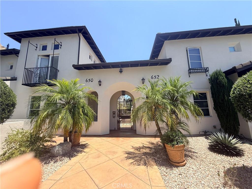
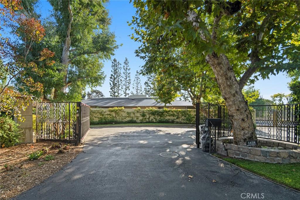
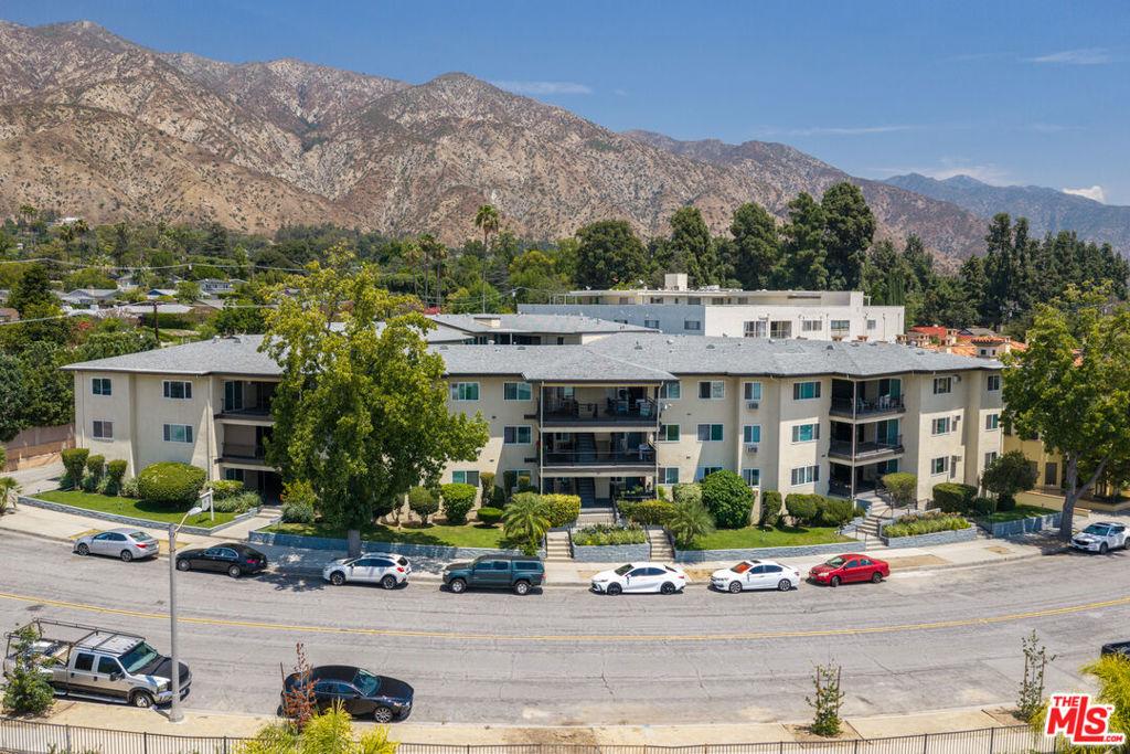
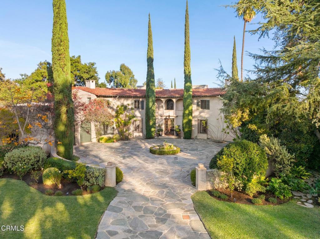
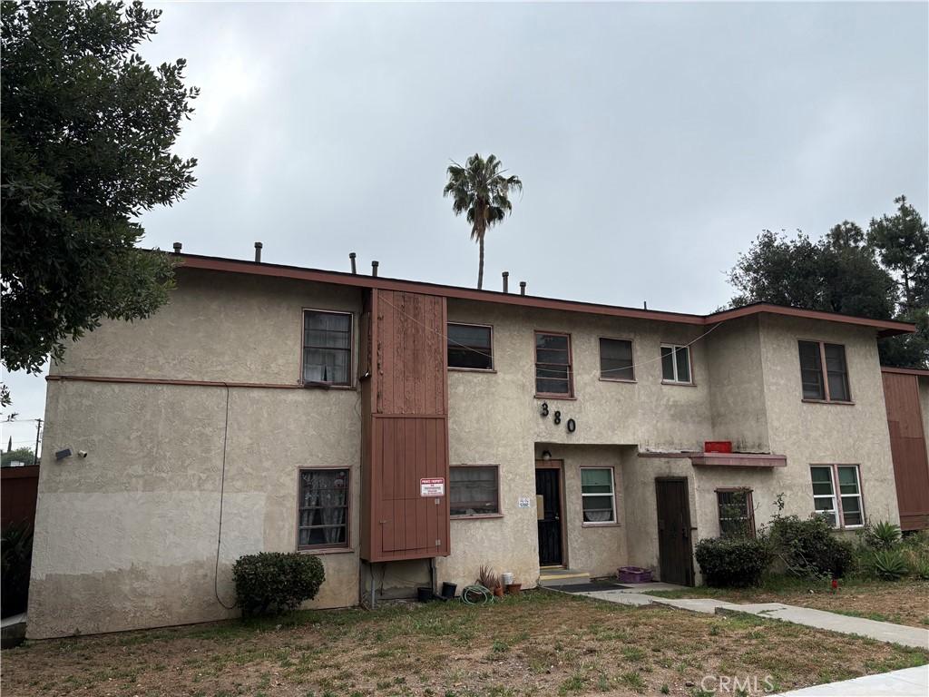
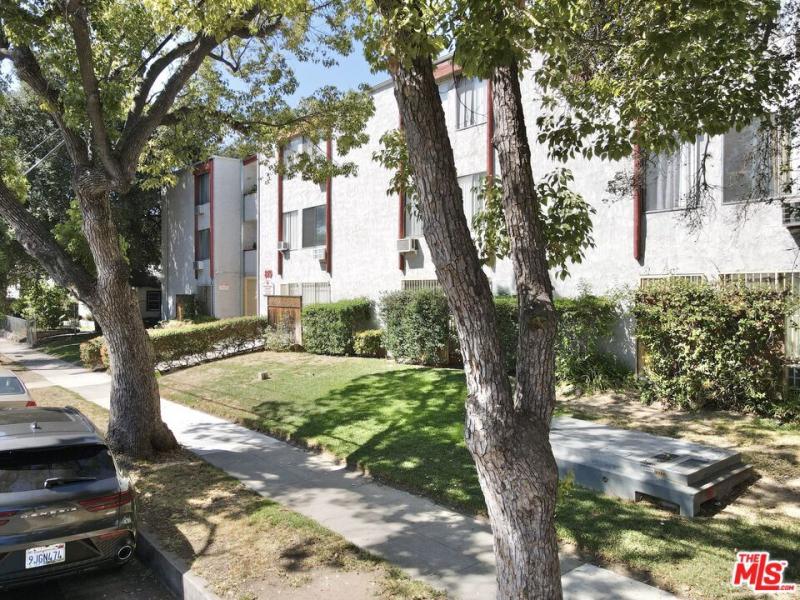
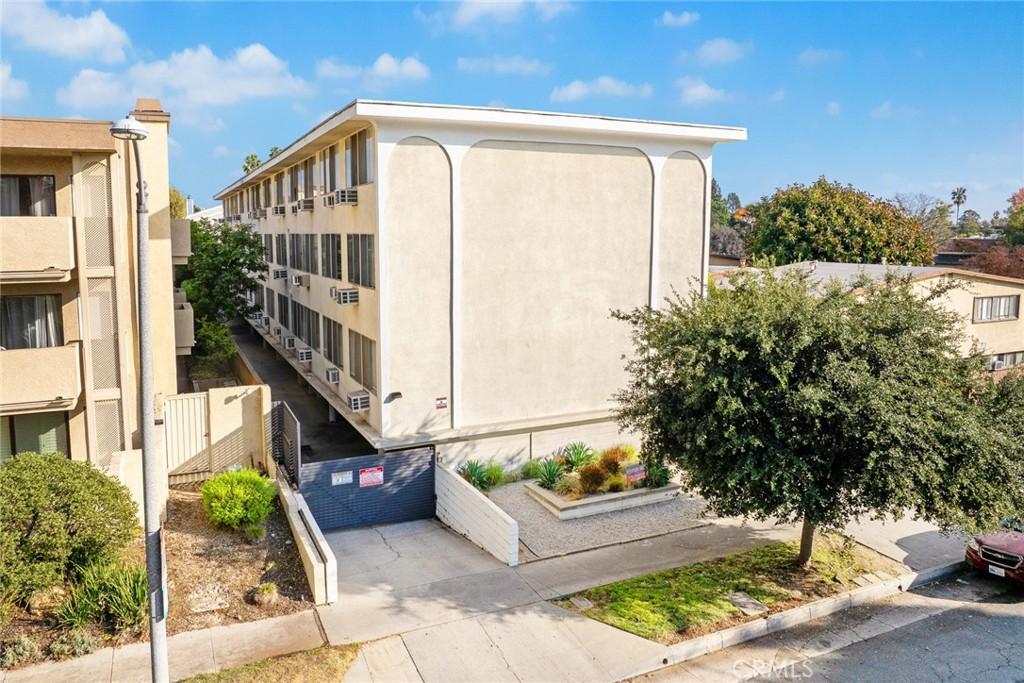
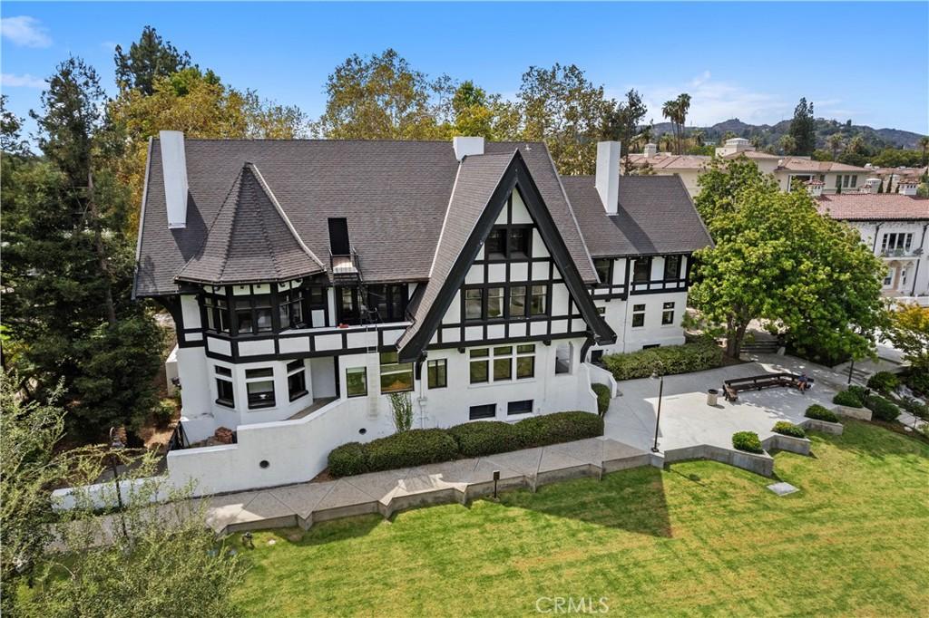
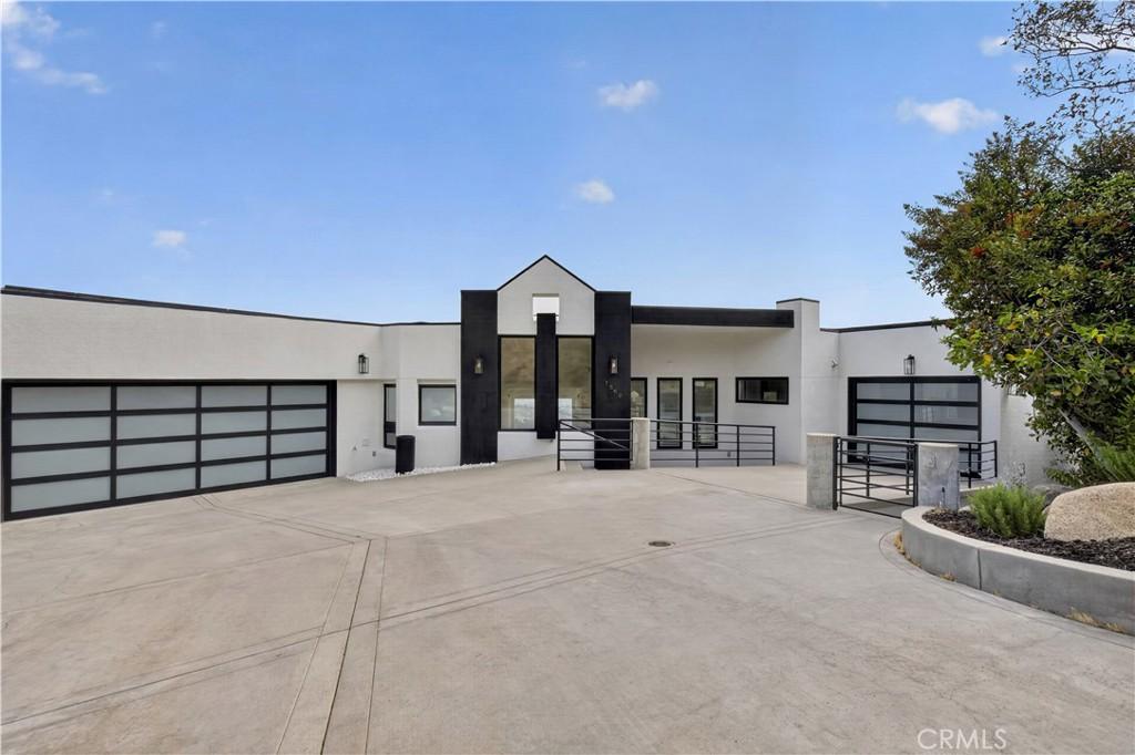
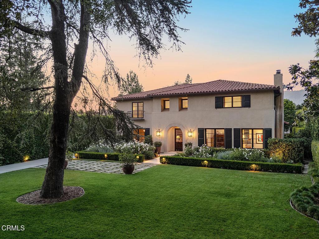
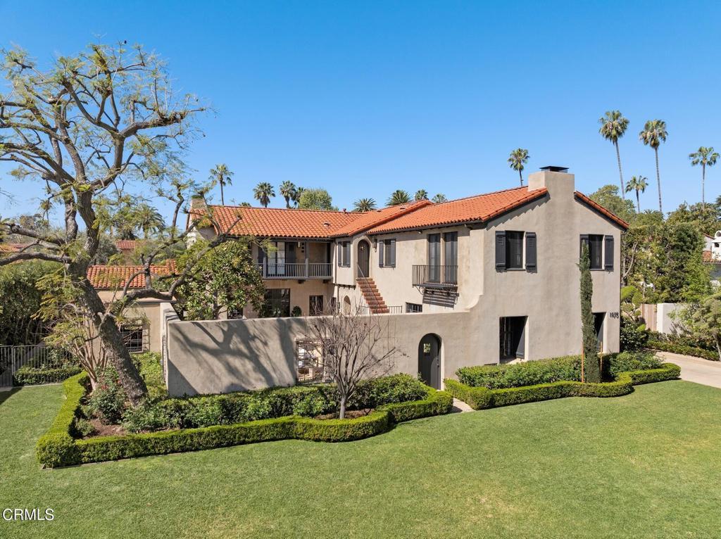
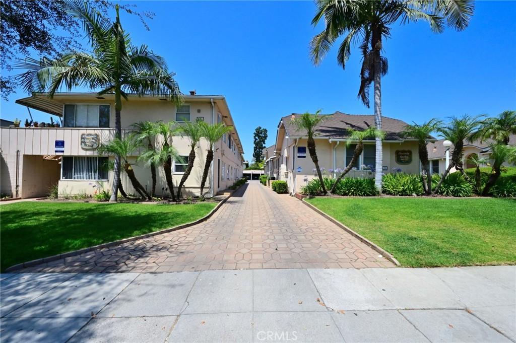
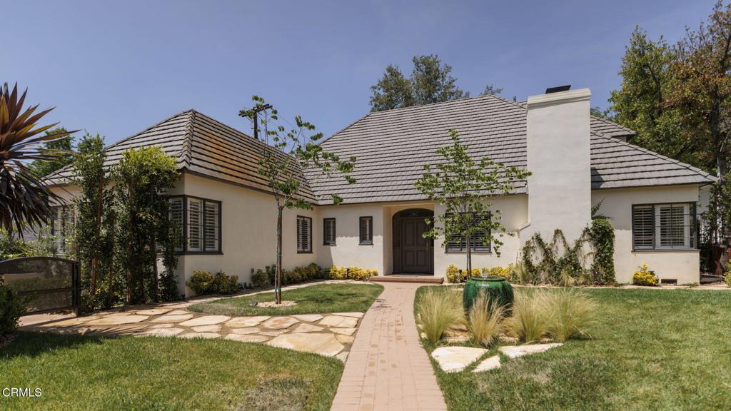
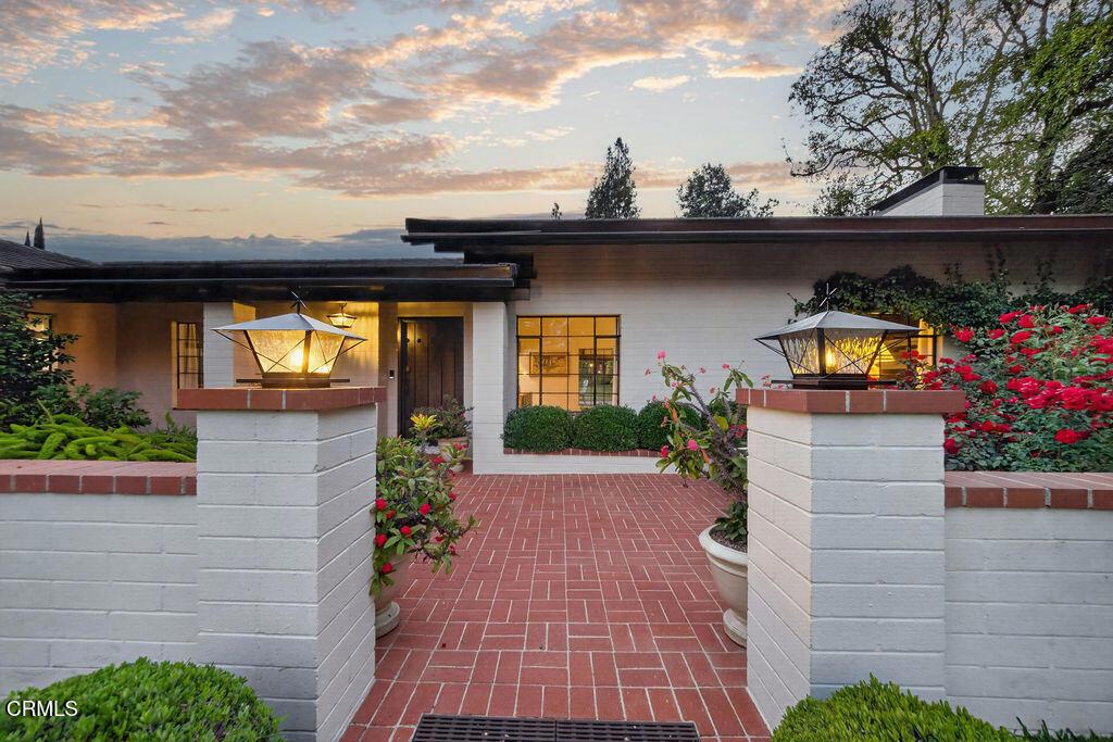
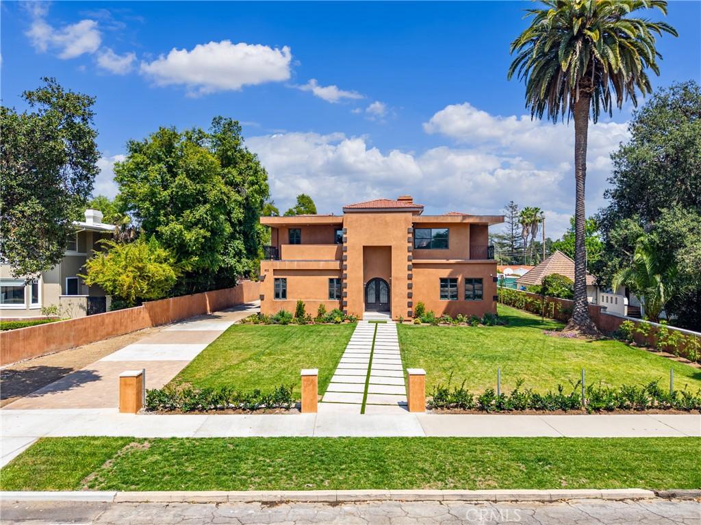
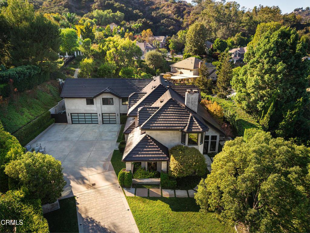
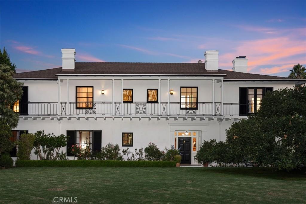
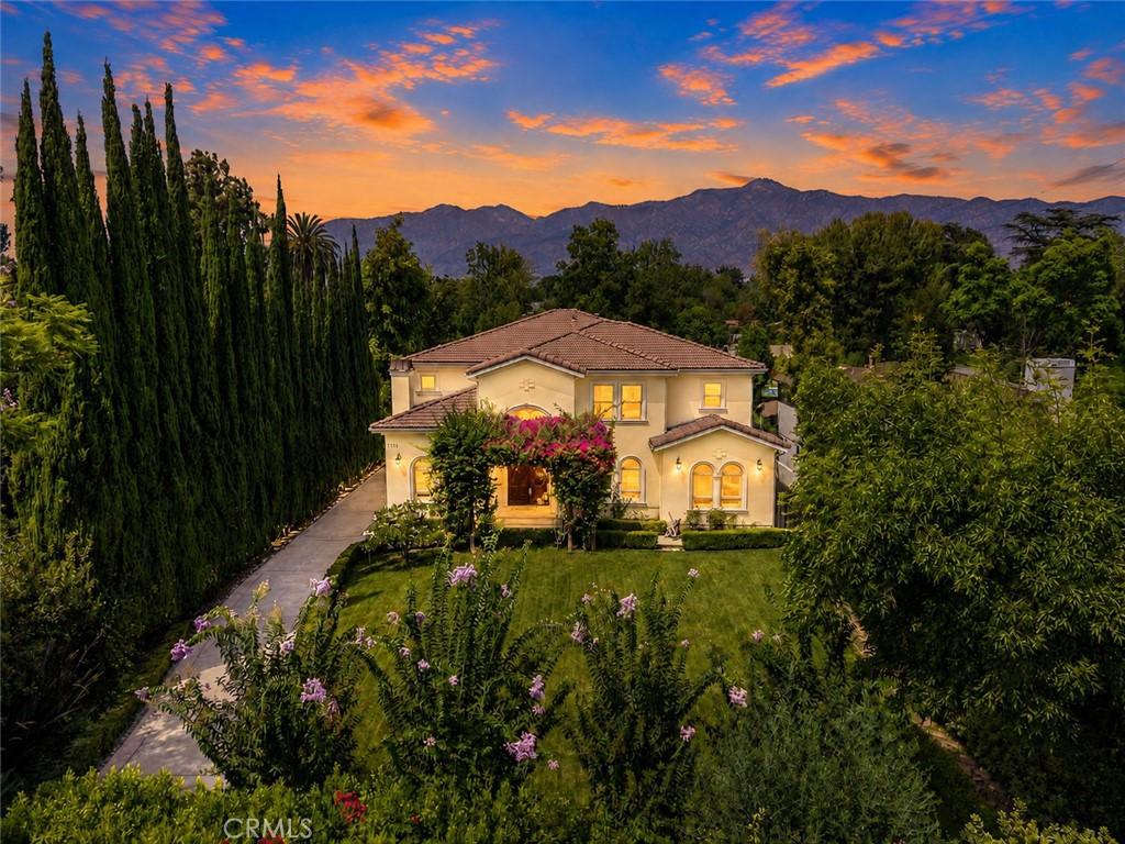
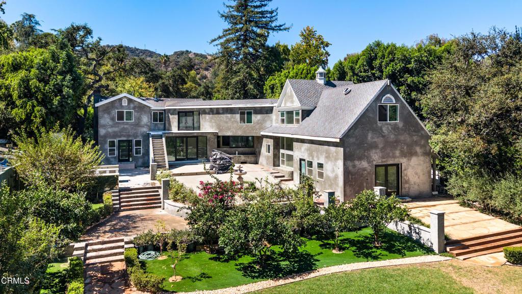
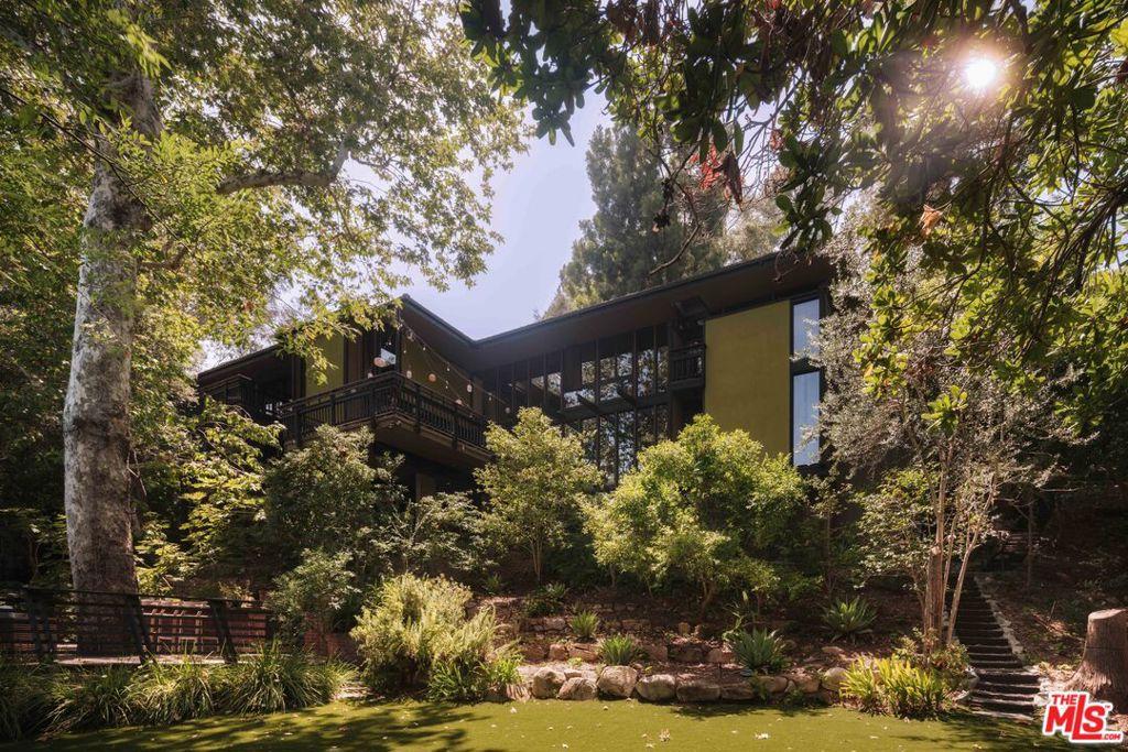
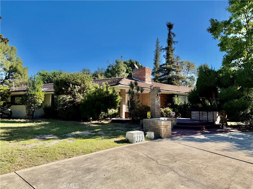
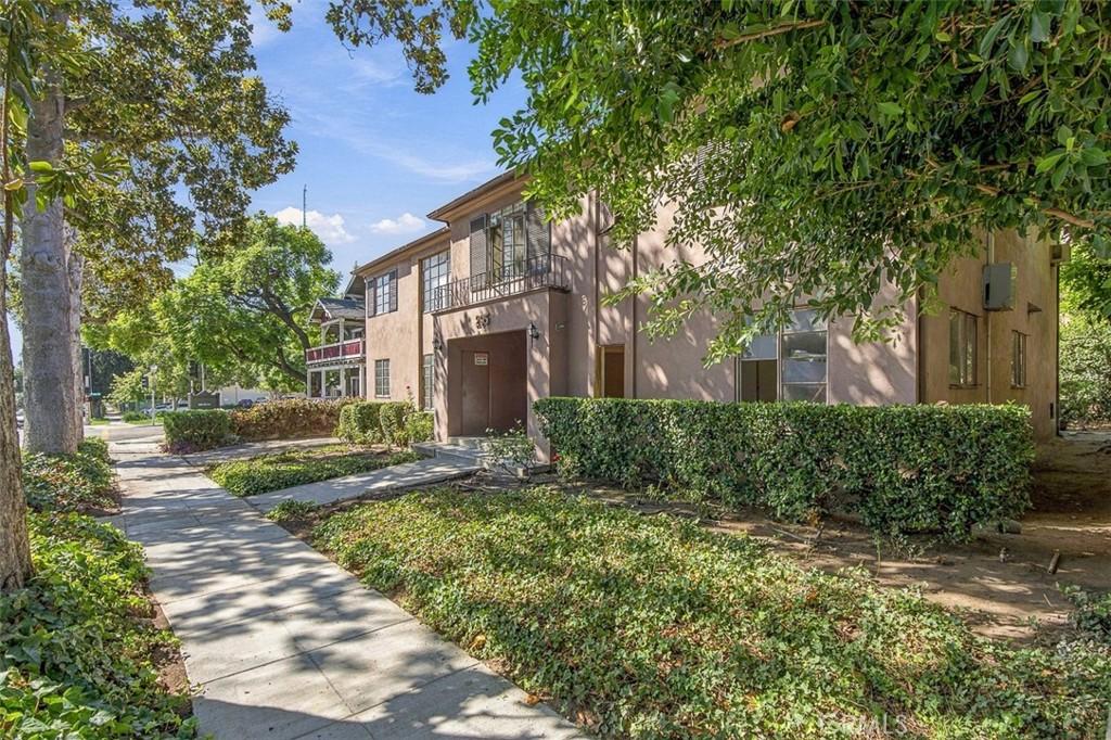
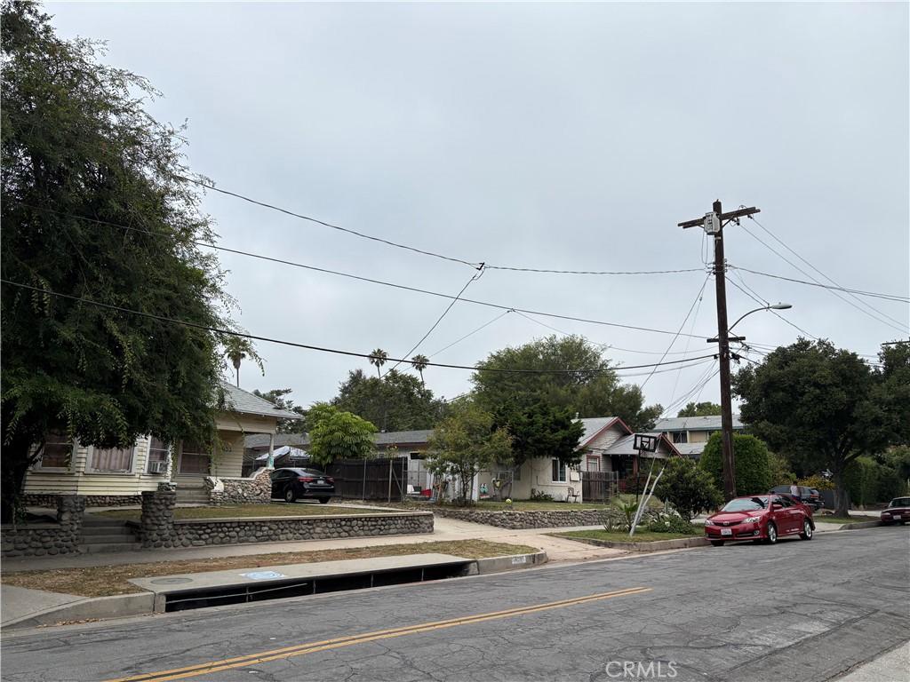
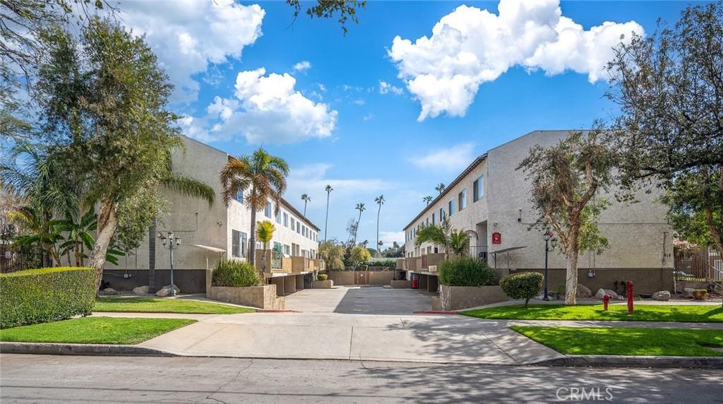
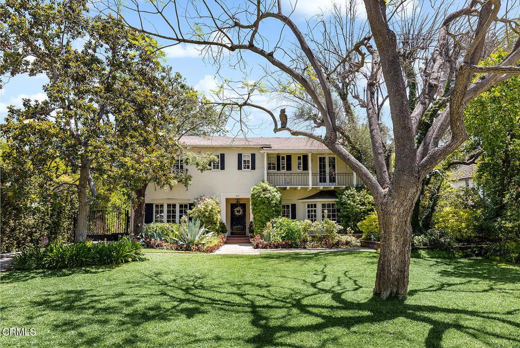
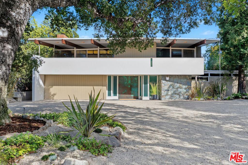
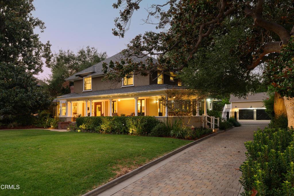
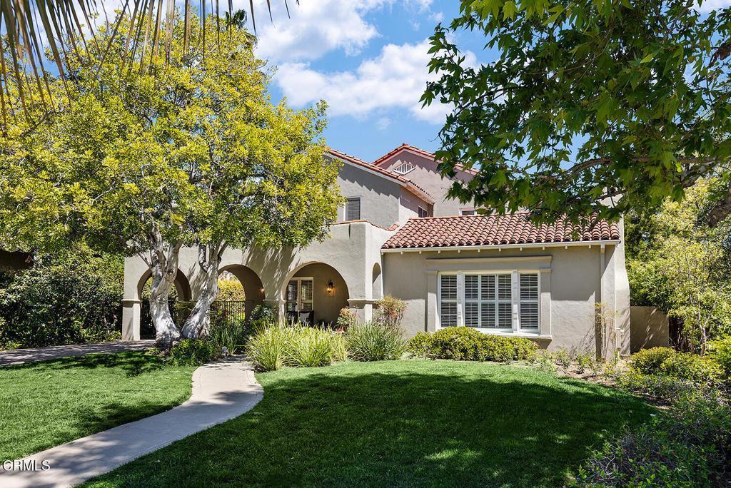
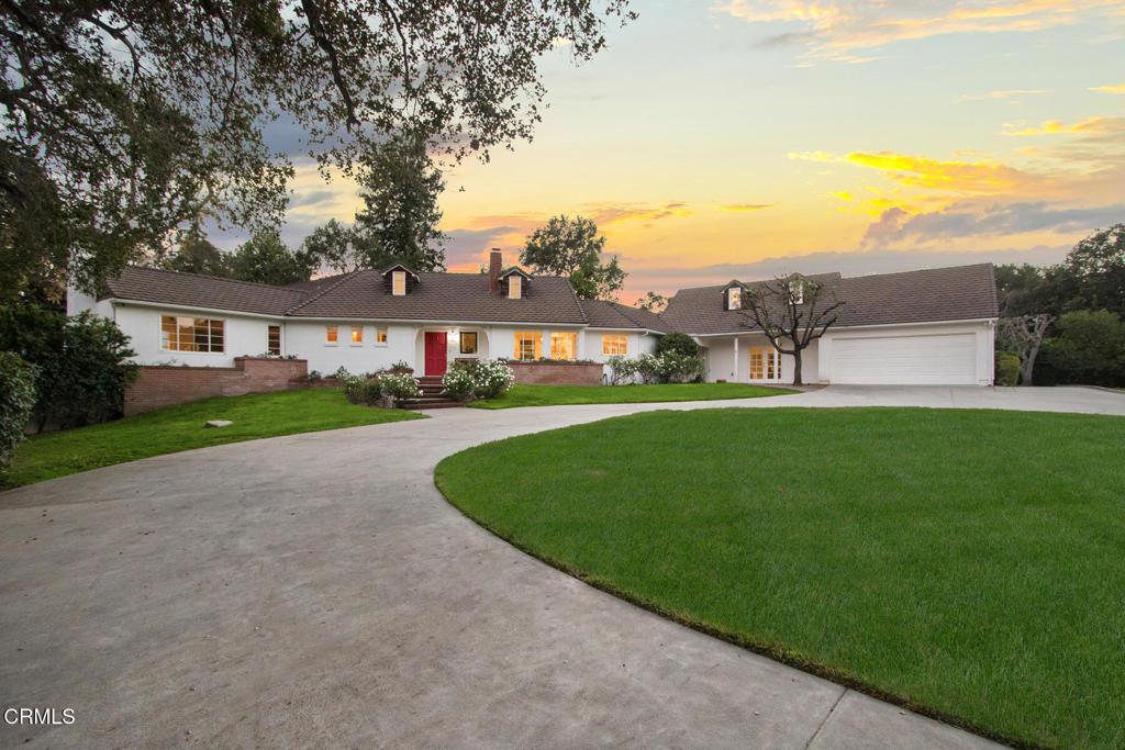
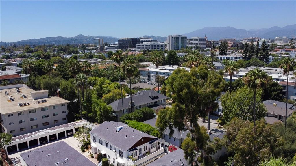
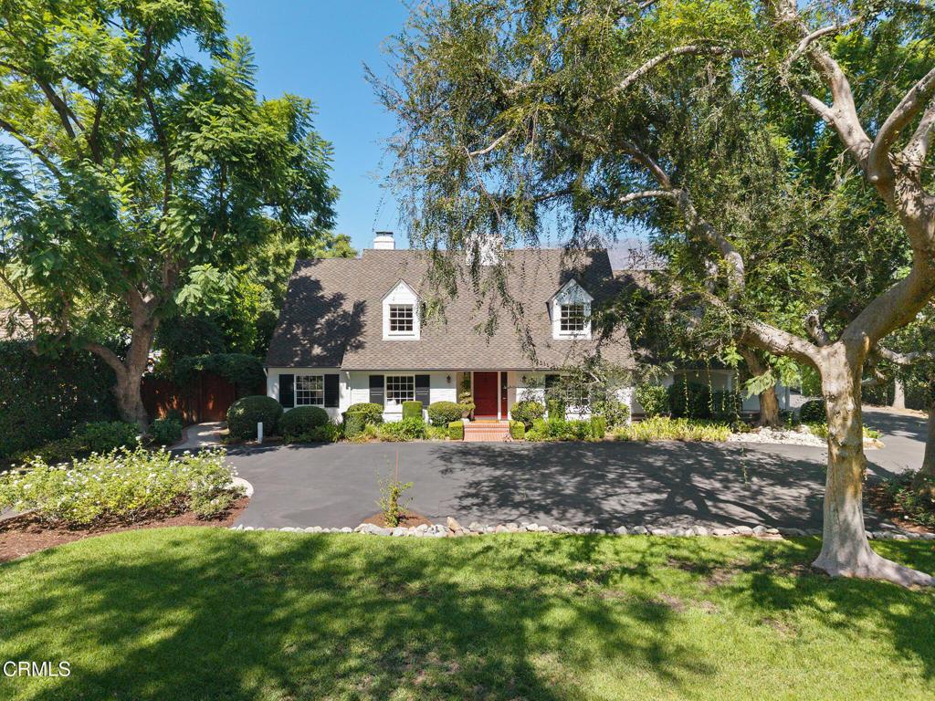
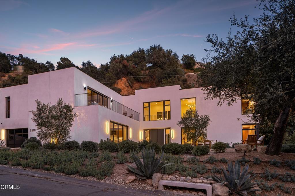
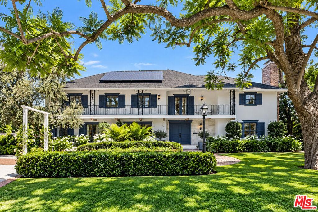
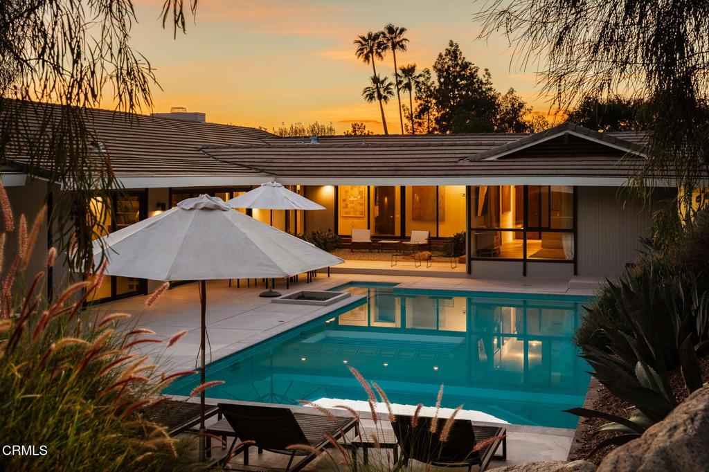
The homes in South Arroyo reflect the residential development that characterized this corner of southwest Pasadena in the early through mid-20th century, with Craftsman-era homes, Spanish Colonial residences, and estate-scale properties appearing in a landscape shaped by the Arroyo’s canyon terrain. Lot configurations in this part of the neighborhood are strongly influenced by the topography, with hillside lots, canyon-edge configurations, and varied site orientations producing a diversity of residential arrangements that differs markedly from the flat-grid residential areas of central and north Pasadena.
The Arroyo Seco trail system is directly accessible from South Arroyo’s western boundary, connecting residents to the Rose Bowl loop, Hahamongna Watershed Park to the north, and the broader Arroyo trail corridor that runs south toward the 134 Freeway. The trail is a major regional recreational resource, consistently used year-round by cyclists, runners, and walkers from across greater Los Angeles, and its proximity from a South Arroyo address means that daily outdoor recreation is genuinely accessible without a commute to a trailhead.
The 134 Freeway at Orange Grove Boulevard provides freeway access south and east from South Arroyo, connecting the neighborhood to the 210 and the broader regional freeway system. The Arroyo Seco Parkway (110) runs adjacent to the Arroyo corridor south toward Downtown Los Angeles, providing an alternative route for commuters who prefer the historic parkway to the 210-to-134 freeway connection. Old Pasadena is a short drive east, giving South Arroyo residents the full range of Pasadena’s primary commercial amenities within a reasonable commute from the western residential base.
Pasadena citywide runs a median sale price around $1,250,000, up 3.7% year-over-year, $791 per square foot down 0.5% year-over-year, median list price $1,170,000 at $769 per square foot, 240 homes on market, 83 sold, 48 days on market, 103.9% sale-to-list ratio, 1 average offer, and 39.7% average down payment. South Arroyo homes price in the upper-mid range for southwest Pasadena, above the non-Arroyo-adjacent residential areas and below the full estate-tier premium of Annandale and Linda Vista. Canyon-edge and Arroyo-front positions within the neighborhood carry premiums that can push specific properties into the estate-tier price range.
Schools fall within Pasadena Unified School District. Field Elementary serves the southwest Pasadena area. Hillside and canyon-edge lots in South Arroyo may carry additional geotechnical and slope-stability due diligence requirements that buyers should address through appropriate inspection work before purchase.
South Arroyo is a residential neighborhood in south-central Pasadena, positioned along the eastern edge of the lower Arroyo Seco corridor south of the central Pasadena commercial core. The neighborhood’s name identifies its geographic relationship to the Arroyo Seco, Pasadena’s defining natural feature, and its position in the southern portion of the Arroyo corridor below the Rose Bowl and the central Arroyo sections. The South Arroyo residential community is one of the more historically significant residential districts in Pasadena, with homes from the late nineteenth and early twentieth centuries occupying the elevated terrain above the Arroyo’s southern reach. The combination of the Arroyo Seco natural environment, the historical residential character, and the proximity to both Old Pasadena and South Pasadena creates a residential context for South Arroyo that is distinct within the broader Pasadena residential market.
The lower Arroyo Seco trail system is directly accessible from the South Arroyo residential area’s western edge, connecting residents to the paved trail that runs north toward the Rose Bowl loop and south toward the 110 Freeway and the Sycamore Grove area. The south Arroyo trail section is less heavily trafficked than the Rose Bowl loop and the central Arroyo sections, creating a more natural and quiet trail experience for residents who access the Arroyo from the South Arroyo residential streets. The connection north to the Rose Bowl loop extends the trail access for South Arroyo residents into the full Arroyo Seco recreational system, from the lower Arroyo parkway near the 110 Freeway all the way to the Hahamongna Watershed Park north of Devil’s Gate Dam.
The 110 Freeway (Arroyo Seco Parkway) is the primary freeway connection for South Arroyo residents, with the Orange Grove Boulevard on-ramp approximately 0.5-1 mile north or accessible from the South Arroyo area’s southern connections to the 110. The 110’s direct connection to Downtown Los Angeles makes the South Arroyo position among the most convenient in Pasadena for residents commuting to downtown employment, with travel times in the 20-35 minute range depending on traffic conditions on the two-lane parkway. The 134 Freeway is accessible from the Orange Grove-to-134 interchange, providing access to Glendale and Burbank and the 2 freeway. The South Arroyo position provides slightly more direct 110 Freeway access than the more northerly Arroyo-adjacent neighborhoods, as the commute routing from south Arroyo to the 110 on-ramp is shorter and more direct.
Old Pasadena’s commercial and restaurant district is approximately 0.5-1 mile north of the South Arroyo residential area, accessible by foot in 10-20 minutes or by bicycle in 5-10 minutes from most South Arroyo addresses. The South Pasadena Mission Street commercial district is accessible in approximately 1-1.5 miles to the south, creating a dual commercial access for South Arroyo residents that provides both the Old Pasadena density of restaurant and retail options and the quieter South Pasadena commercial character as practical walking and cycling destinations. The combination of Old Pasadena walking access to the north and South Pasadena Mission Street access to the south gives the South Arroyo residential area more commercial diversity within cycling distance than most other Pasadena residential positions.
Schools serving South Arroyo are within Pasadena Unified School District’s south-central area. The elementary school assignment for specific South Arroyo addresses is in the central-south PUSD service area. The California Institute of Technology is approximately 1-1.5 miles north and east of the South Arroyo area, making the neighborhood one of the more proximate to the Caltech campus among the Arroyo-adjacent residential positions. The combination of the Arroyo Seco trail proximity, the Old Pasadena walking access, and the Caltech campus adjacency creates a residential context for South Arroyo that specifically appeals to buyers from the Caltech academic community and the professional and creative communities who value both the natural environment and the urban walkability that the south Arroyo position provides.
The fire risk profile of the South Arroyo residential area reflects the neighborhood’s proximity to the Arroyo Seco’s natural vegetation corridor. Properties on the western edge of the South Arroyo area that are closest to the Arroyo canyon vegetation may carry elevated fire risk designations under California’s FHSZ mapping, while properties further from the canyon edge carry lower risk designations. The post-2025 California insurance market’s reassessment of fire risk throughout the Arroyo-adjacent residential areas means that buyers should confirm the specific FHSZ designation and insurance availability for any South Arroyo property before finalizing purchase terms. The Arroyo canyon vegetation, while a primary amenity in the South Arroyo residential context, is also the fire risk vector that requires specific attention in the insurance and due diligence process.
The historical residential character of the South Arroyo neighborhood is reflected in the architectural legacy of the homes on the most established streets adjacent to the Arroyo. Some South Arroyo properties carry individual historic designations through the City of Pasadena’s Historic Preservation Program, and the neighborhood’s historical identity is connected to the broader story of Pasadena’s early residential development above the Arroyo Seco. The Victorian and Craftsman homes from the late nineteenth and early twentieth century that survive in the South Arroyo area represent some of the oldest surviving residential architecture in Pasadena, and their preservation in an Arroyo-adjacent setting creates a residential character that is genuinely rare in the greater Los Angeles area.
The buyer profile for South Arroyo centers on buyers who are specifically motivated by the combination of Arroyo Seco trail access, the historical residential character, and the Old Pasadena walking proximity. The South Arroyo buyer profile overlaps with the Raymond Hill and Monk Hill buyer profiles in prioritizing the elevated terrain and natural adjacency, but the South Arroyo position’s southern orientation and the Old Pasadena-to-South Pasadena commercial corridor access create a distinct residential lifestyle profile. Buyers from the Silver Lake, Los Feliz, and Highland Park communities who are specifically evaluating the 110 Freeway-accessible corridor for relocation find the South Arroyo position particularly relevant, as the 110 access from south Arroyo provides a commute corridor back to their origin employment areas that is more direct than from any other Arroyo-adjacent Pasadena residential position.
The real estate pricing in the South Arroyo residential area reflects the multiple premium factors that converge in the Arroyo-adjacent south Pasadena position: the Arroyo Seco trail walking access, the Old Pasadena proximity, the 110 Freeway direct downtown access, and the historical residential character that is concentrated in the south Arroyo residential streets. The combination of these factors commands a premium over comparable south Pasadena residential addresses without the Arroyo proximity, and the premium over comparable housing in the eastern San Gabriel Valley communities is substantial. Buyers evaluating the South Arroyo market against other Pasadena residential sub-areas should understand that the multi-factor amenity convergence is the pricing driver, and that the premium reflects durable geographic and historical characteristics that are not replicable in other residential locations.
The City of Pasadena Water and Power utility serves the South Arroyo residential area, providing municipal electric and water service to the properties within the Pasadena city boundary. The 110 Freeway’s position along the western edge of the South Arroyo residential area creates a sound environment consideration for the properties most proximate to the freeway corridor, and buyers should evaluate the specific sound profile of any target property relative to the freeway sound walls and the distance from the freeway lanes. The Arroyo Seco’s natural vegetation corridor provides a partial sound buffer between the freeway and the residential streets in the South Arroyo area, but properties on the freeway-proximate western edge may experience more freeway sound than properties further east in the neighborhood.
The public safety infrastructure for South Arroyo is provided by the Pasadena Police Department and the Pasadena Fire Department, both serving the south Pasadena residential area with response infrastructure calibrated to the south-central Pasadena residential community. The South Pasadena adjacency does not affect the Pasadena city services for South Arroyo residents, as the city boundary determines the service jurisdictions and South Arroyo residents within the Pasadena city limits receive Pasadena city services regardless of the South Pasadena community’s proximity. The Huntington Memorial Hospital on Duarte Road is the primary acute care facility for the South Arroyo residential community, accessible in approximately 10-15 minutes by car from most south Pasadena addresses.
The South Arroyo residential community’s participation in the Pasadena civic culture reflects the neighborhood’s position in the southern portion of the city. The Tournament of Roses parade route on Colorado Boulevard is approximately 1-1.5 miles north of the South Arroyo residential area, accessible by foot or bicycle for residents who want to attend the parade, and the Old Pasadena restaurant and retail district provides the primary commercial backdrop for the parade and tournament season activity that defines the Pasadena civic calendar. The South Arroyo residential area’s proximity to both Old Pasadena and South Pasadena gives residents access to two adjacent city commercial districts with distinct characters, providing a commercial variety that residents in the more monolithic commercial environments of other Los Angeles suburban residential areas do not typically have.
The residential investment thesis for South Arroyo properties benefits from the multiple premium factors that are concentrated in the south Pasadena Arroyo-adjacent position. The combination of the 110 Freeway direct downtown access, the Old Pasadena cycling proximity, the Arroyo Seco trail walking access, and the historical residential character of the neighborhood creates a multi-factor value foundation that has historically supported strong appreciation relative to the broader Pasadena residential market. Buyers who approach the South Arroyo market with a long-term holding period perspective and a specific understanding of the location’s multi-factor premium profile are well-positioned to benefit from the durable demand that these geographic and historical characteristics generate in the Pasadena residential market.
What is South Arroyo Pasadena like as a place to live?
- South Arroyo Pasadena sits in south-central Pasadena along the eastern edge of the lower Arroyo Seco corridor below the central commercial core.
- Craftsman-era homes, Spanish Colonial residences, and estate-scale properties make up the residential development that characterizes this corner of southwest Pasadena.
- Lot configurations follow the Arroyo’s canyon terrain, with hillside lots, canyon-edge sites, and varied orientations rather than a flat residential grid.
- Housing stock here differs markedly from the flat-grid residential areas found across central and north Pasadena.
- The Arroyo Seco is Pasadena’s defining natural feature, and the neighborhood name identifies its geographic relationship to that corridor.
- Homes occupy elevated terrain above the Arroyo’s southern reach, below the Rose Bowl and the central Arroyo sections.
- South Arroyo Pasadena ranks among the more historically significant residential districts anywhere in the city.
- The Arroyo Seco trail system is directly accessible from the western boundary of the residential area.
- Trail connections reach the Rose Bowl loop, Hahamongna Watershed Park to the north, and the broader Arroyo corridor running south.
- Cyclists, runners, and walkers from across greater Los Angeles use the Arroyo trail system consistently and year-round.
- Daily outdoor recreation is genuinely accessible from a South Arroyo Pasadena address without any commute to a trailhead.
- The south Arroyo trail section is less heavily trafficked than the Rose Bowl loop and the central Arroyo sections.
- Residents reaching the Arroyo from local residential streets find a more natural and quiet trail experience.
- Freeway access runs south and east at Orange Grove Boulevard, connecting to the broader regional freeway system.
- The Arroyo Seco Parkway runs adjacent to the Arroyo corridor toward Downtown Los Angeles as an alternative commuter route.
- Old Pasadena lies a short drive east, putting the city’s primary commercial amenities within reasonable reach of this western residential base.
- Schools fall within Pasadena Unified School District, with Field Elementary serving the southwest Pasadena area.
- Hillside and canyon-edge lots may carry additional geotechnical and slope-stability due diligence that buyers should address through inspection work.