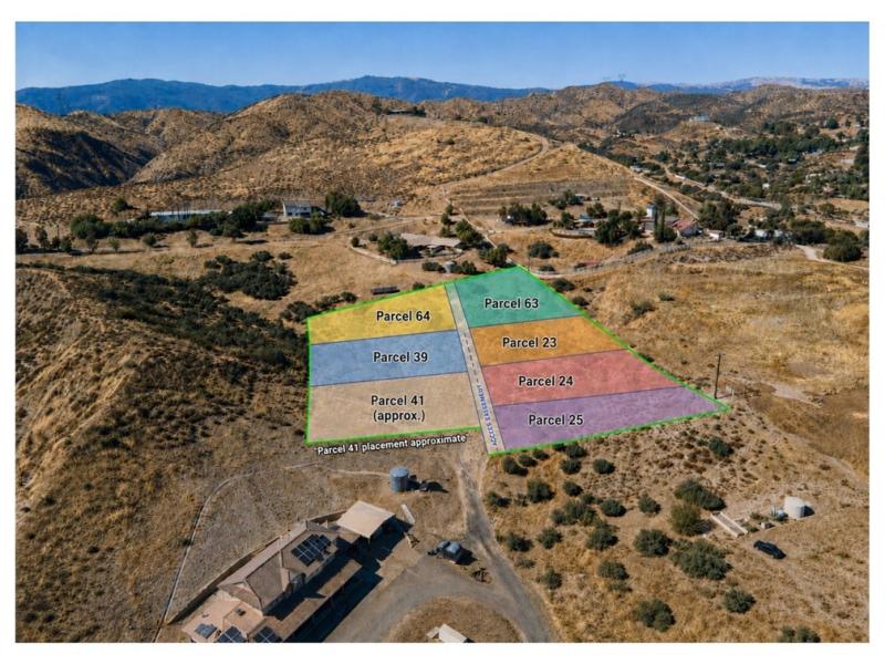
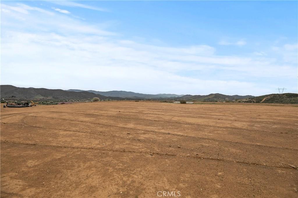
Agua DulceListings

Agua Dulce Real Estate | Santa Clarita Valley, CA

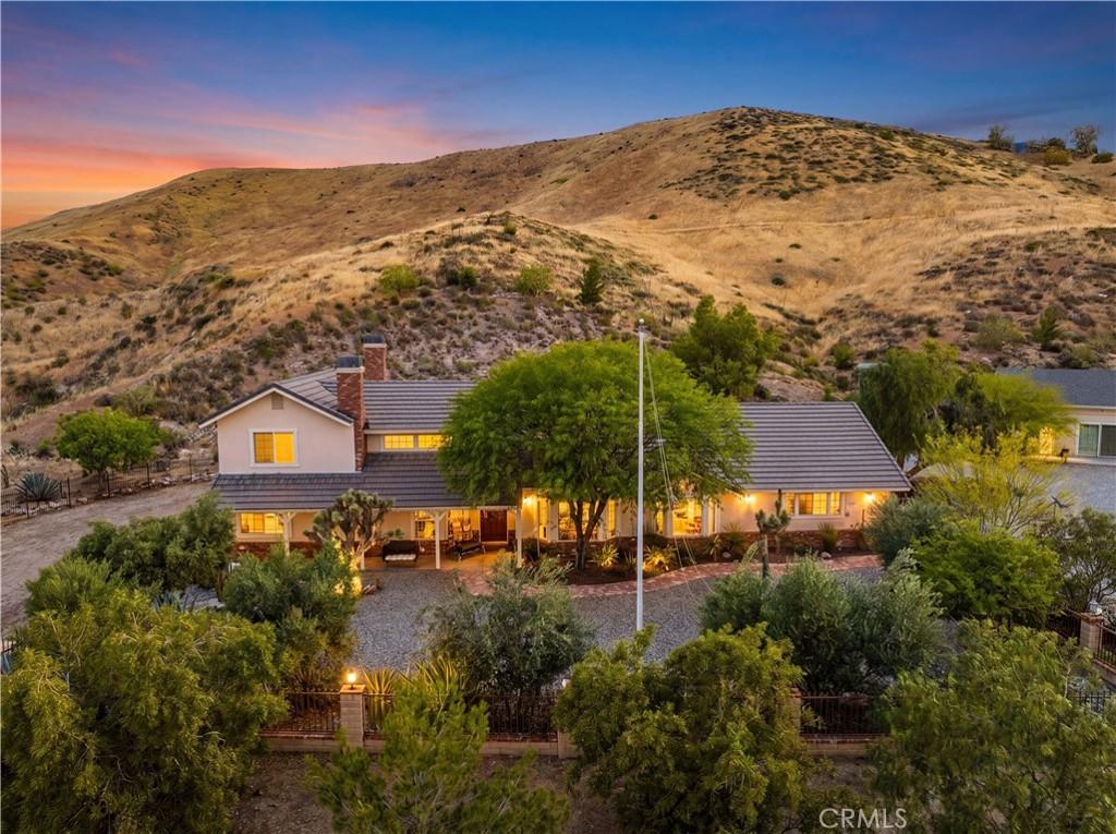
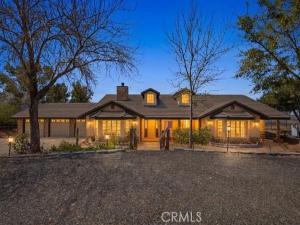
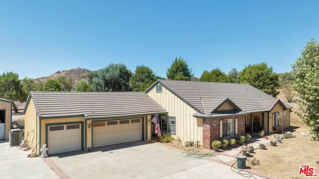
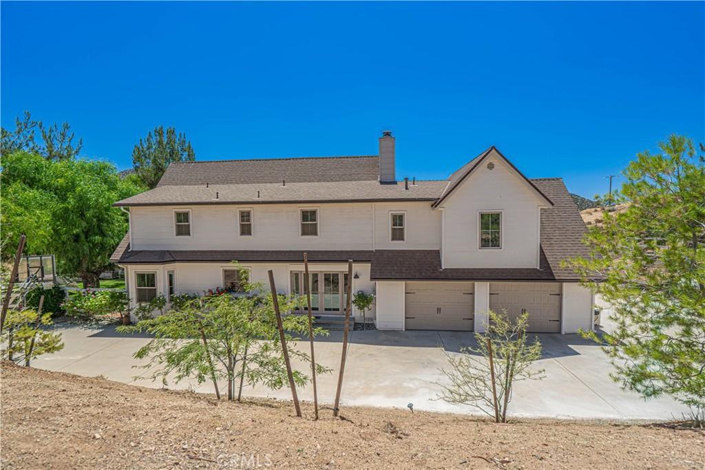
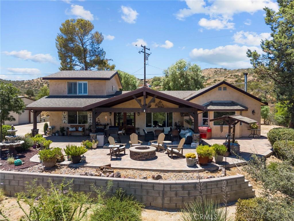
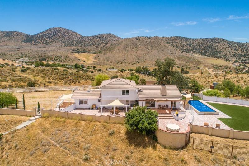
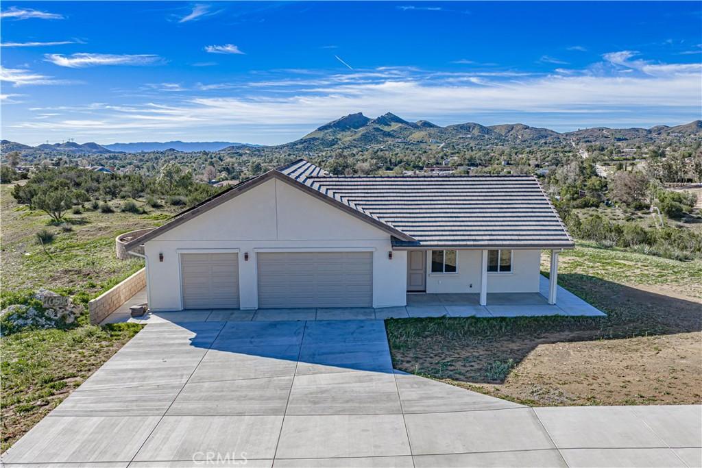
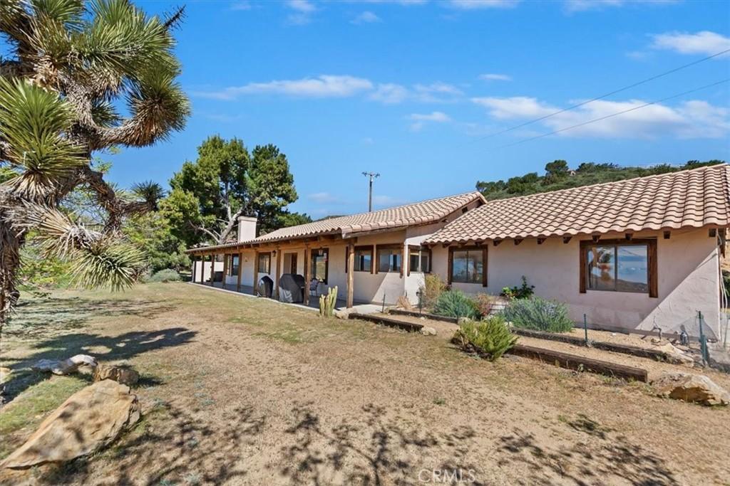
Agua Dulce is a community in the Santa Clarita Valley — the rapidly growing residential region north of the San Fernando Valley in Los Angeles County where master-planned communities, the William S. Hart Union High School District’s strong academics, the I-5 Freeway corridor, and the natural setting of the Transverse Ranges create a family-oriented residential lifestyle at pricing that provides more space and newer construction than the San Fernando Valley at comparable or lower cost. Agua Dulce is a rural unincorporated community in the southeastern Santa Clarita Valley known for the Vasquez Rocks Natural Area Park — the distinctive tilted sandstone formations used in countless film and television productions — and for the horse properties, vineyards, and large-lot rural residential character that define this semi-arid high-desert community. Agua Dulce’s 2026 median home price of approximately $700,000 to $1.1 million reflects the large lot sizes, rural lifestyle appeal, and the Vasquez Rocks area’s desirability as a specific Santa Clarita Valley address.

Agua Dulce in Santa Clarita Valley

Community

What type of community is Agua Dulce?

Agua Dulce is one of the Santa Clarita Valley’s communities, agua dulce is a rural unincorporated community in the southeastern santa clarita valley known for the vasquez rocks natural area park — the distinctive tilted sandstone formations used in countless film and television productions — and for the horse properties, vineyards, and large-lot rural residential character that define this semi-arid high-desert community within a regional residential zone that is defined by the Newhall Land development legacy — the master-planned Valencia community and the surrounding neighborhoods that have grown around it into one of the most complete planned residential environments in Los Angeles County, with parks, paseos, trail systems, and school facilities integrated into the residential planning in a way that distinguishes SCV development from generic suburban sprawl.

William S. Hart Union High School District serves the Santa Clarita Valley’s high school population with campuses including Valencia, Hart, Saugus, Canyon, Golden Valley, and Castaic High Schools — a district that consistently performs above the California average and that is a primary driver of SCV residential demand from families with school-age children who want strong public school options without private school costs. Elementary and middle school assignments depend on the specific neighborhood and district boundaries; Newhall, Saugus, Castaic, and Sulphur Springs elementary districts serve SCV’s younger grades with above-average academic performance that extends the school quality argument across the entire K-12 ladder.

The I-5 Freeway provides the Santa Clarita Valley’s primary commute corridor southbound to the San Fernando Valley and downtown Los Angeles (approximately 35 to 50 minutes off-peak, extending to 60 to 90 minutes during peak hours). The Metrolink Antelope Valley Line from the SCV’s Metrolink stations (Santa Clarita and Via Princessa) to downtown LA’s Union Station takes approximately 60 to 75 minutes and provides an alternative to the freeway commute that many SCV residents use regularly to avoid the peak-hour traffic congestion on the I-5. The commute time from the SCV is longer than from the San Fernando Valley, and buyers need to honestly assess their commute tolerance before choosing a specific SCV community based on destination employment.

The Santa Clarita Valley’s master-planned residential quality — the Valencia paseo pedestrian network, the community parks integrated into residential planning, the Trail Link system connecting neighborhoods to open space — creates a suburban residential environment that is genuinely distinct from the postwar grid-plan subdivisions that the San Fernando Valley’s residential stock primarily represents. For buyers who value new or newer construction, planned community amenities, and the specific lifestyle that the SCV’s combination of park access and freeway connectivity provides, the Santa Clarita Valley delivers a residential quality that comparable San Fernando Valley pricing often does not.

Agua Dulce: Rural Winery Country at the SCV’s Eastern Edge

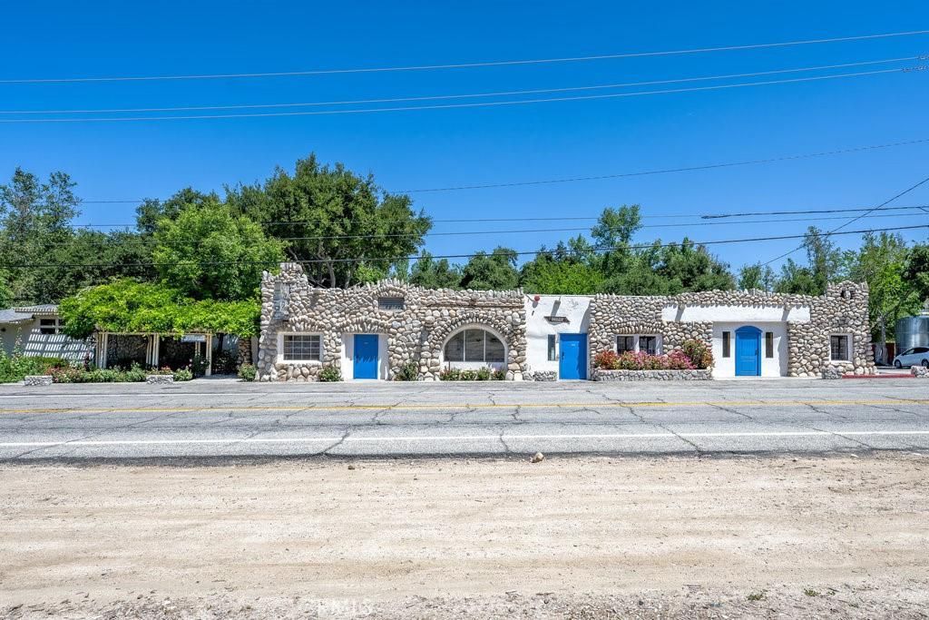
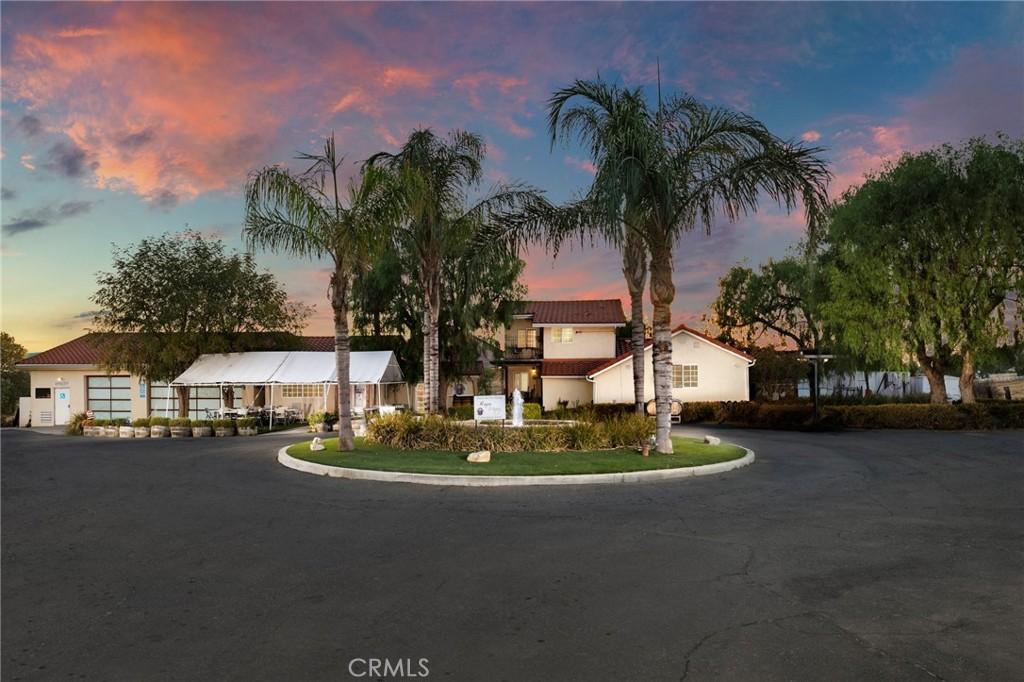
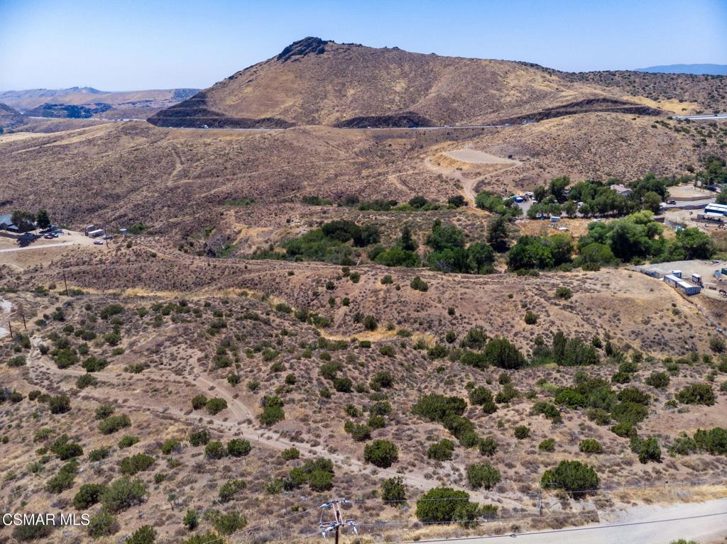
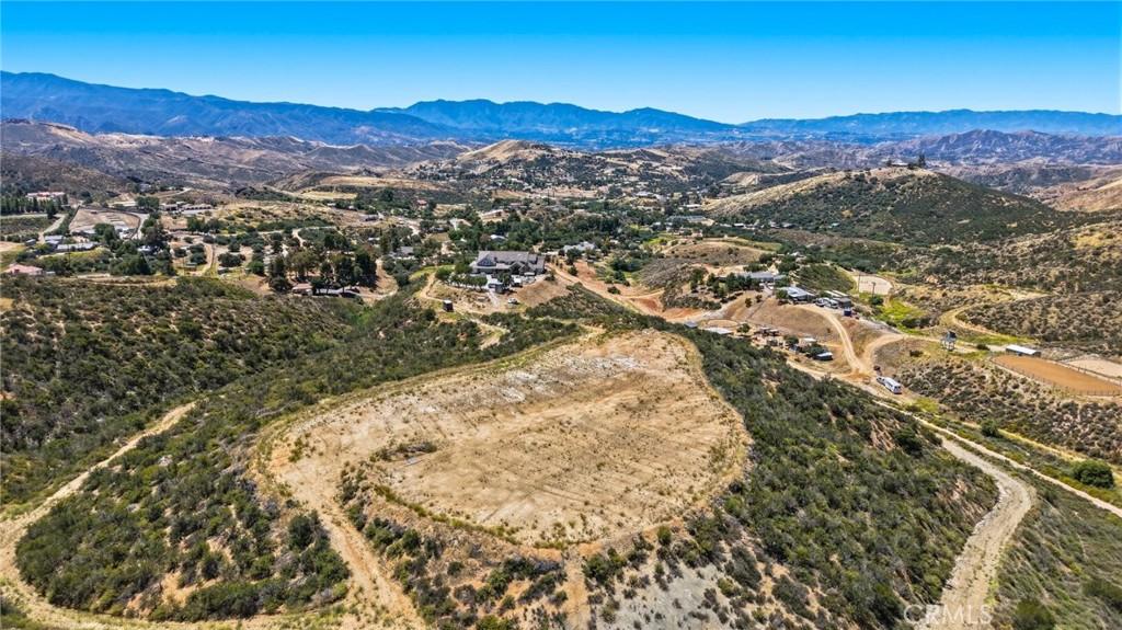
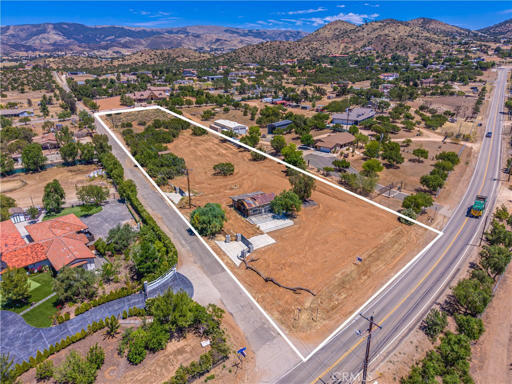
Agua Dulce — “Sweet Water” in Spanish — is a rural unincorporated community in the high terrain east of the Santa Clarita Valley whose horse ranches, the Agua Dulce Winery and the small-scale viticulture that the community’s Mediterranean-influenced microclimate sustains, and the Vasquez Rocks Natural Area Park (the dramatic sandstone rock formations that have appeared in hundreds of films and television productions, most famously as the Star Trek alien landscapes) create the distinctive semi-rural character that distinguishes Agua Dulce from the suburban SCV. The Pacific Crest Trail passes through Agua Dulce (the trail passes the Sweetwater Spring and the Vasquez Rocks before continuing toward Wrightwood), making the community a significant waypoint in the long-distance hiking community. The rural residential character, the horse facilities, and the winery culture create the semi-rural working-land lifestyle that buyers seeking the rural edge of the SCV’s residential geography target in Agua Dulce.

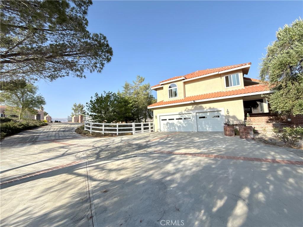
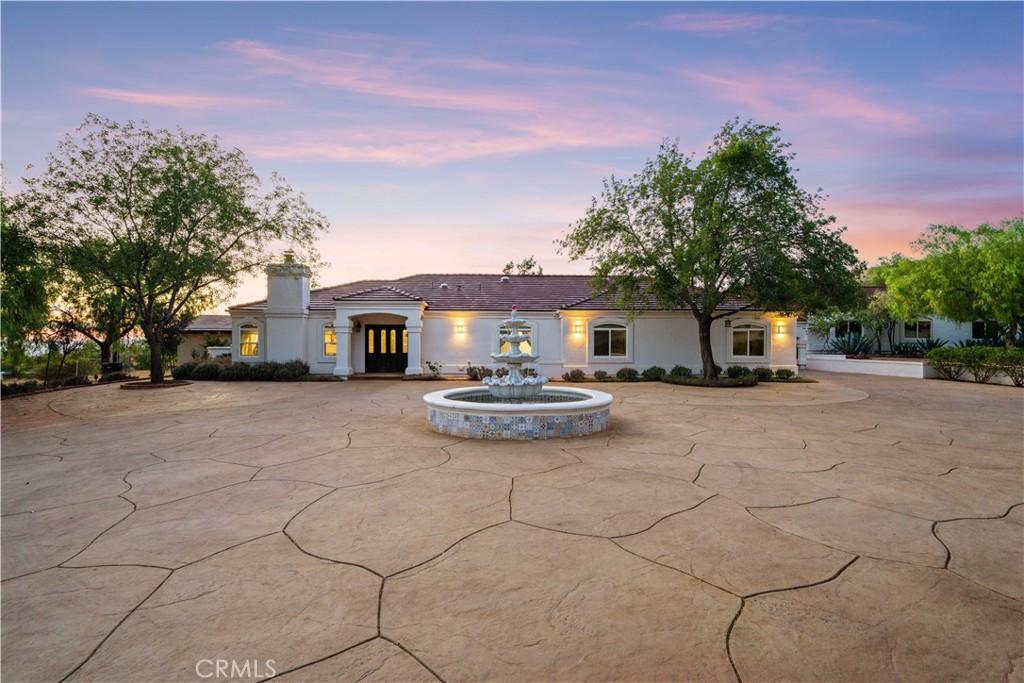
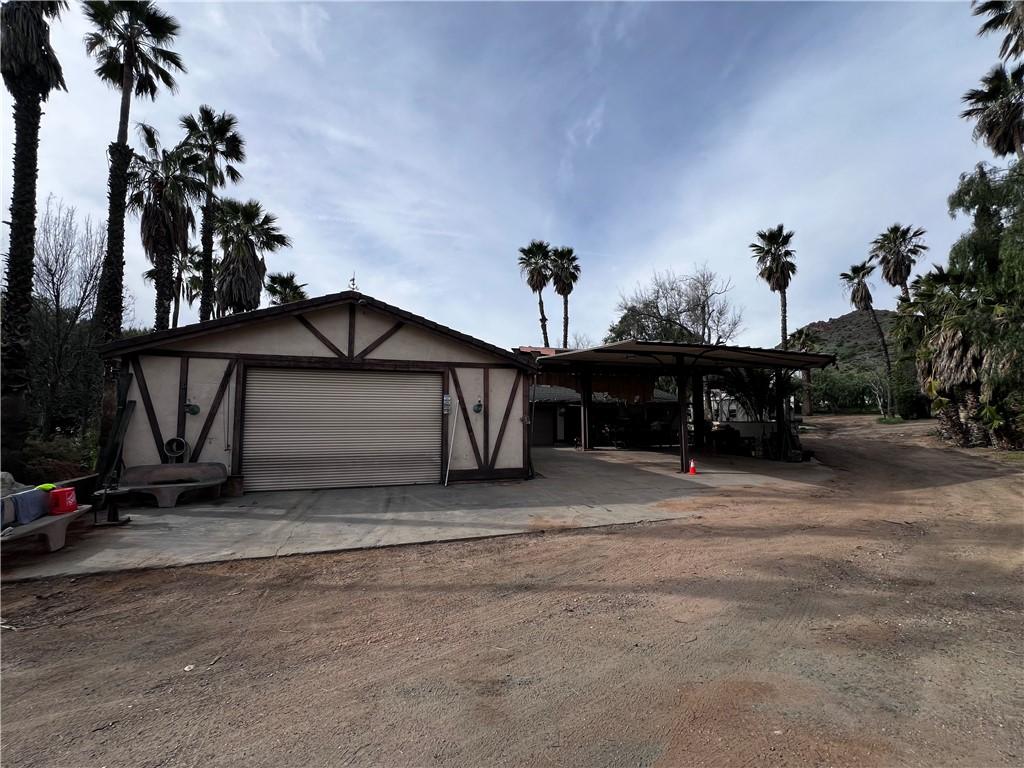
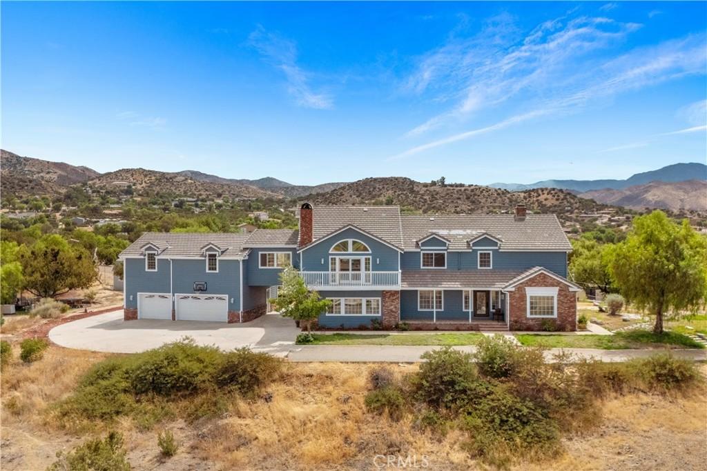
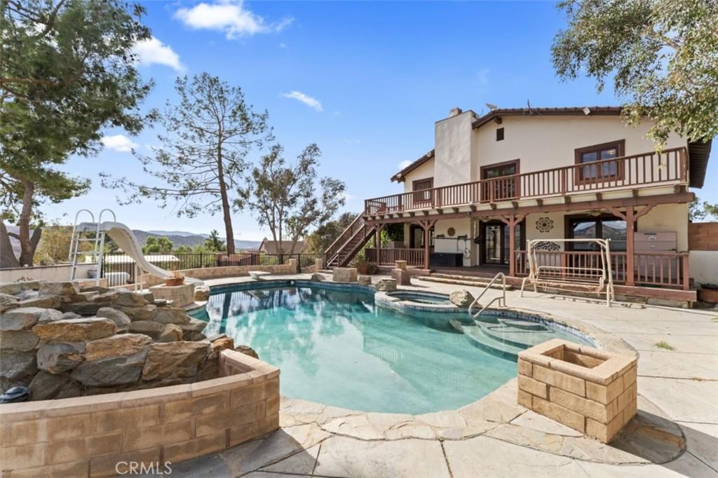
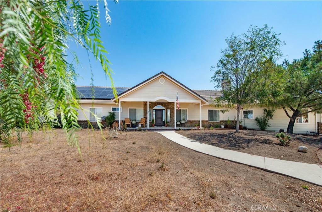
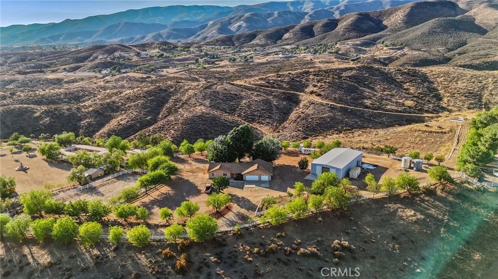
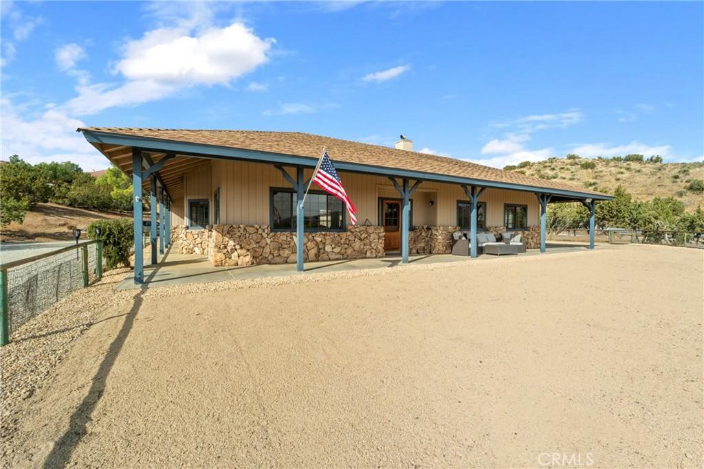
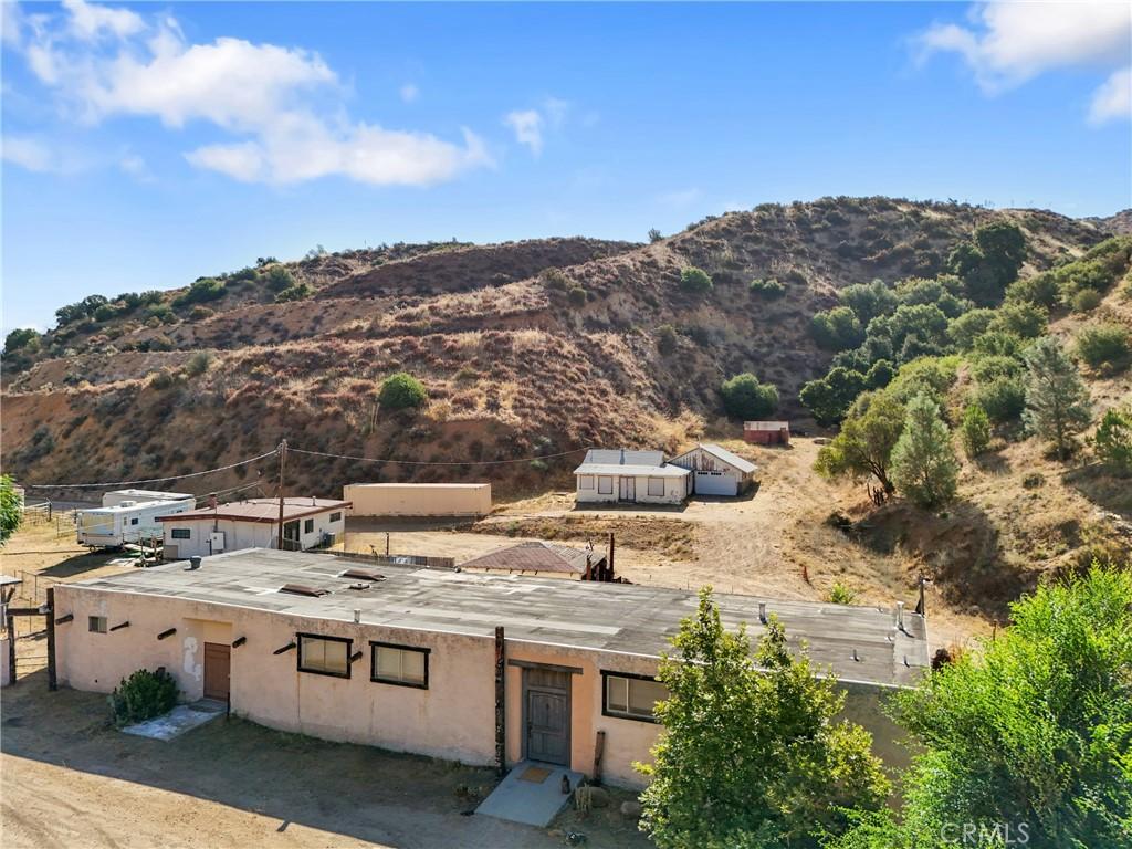
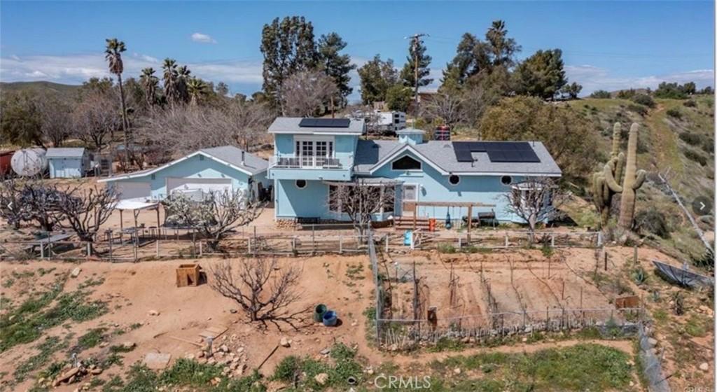
Agua Dulce’s residential market provides the rural and equestrian property tier at a meaningful SCV location discount — the larger parcels with horse facilities that the high-desert terrain supports at $700K-$2M depending on acreage and improvements. The Acton-Agua Dulce Unified School District serves the community’s K-12 students.

Does Agua Dulce have wineries and hiking trails?

Agua Dulce’s position along the Pacific Crest Trail corridor (the trail passes through the community as hikers complete the Section 3 desert walking from the Cajon Pass area toward the Sierra Nevada) creates the PCT hiker culture that sustains the community’s engagement with the long-distance hiking community from March through June when the northbound thru-hikers pass through. The Agua Dulce Winery and the small-scale viticulture that the community’s Mediterranean-coastal microclimate sustains (the elevation and the coastal influence create a climate suitable for Rhone and Spanish grape varieties) create the winery destination character that sustains wine tourism in a community where the Vasquez Rocks filming location provides the primary visitor attraction. The rural residential character of Agua Dulce — the horse properties, the small hobby farms, and the ranch-scale residential parcels — creates the semi-agricultural lifestyle that buyers who want the SCV proximity without the master-planned suburban character specifically choose as their rural alternative. The Acton/Agua Dulce USD’s small elementary district and the William S. Hart UHSD serve the K-12 student population.

Area Details

Is Agua Dulce near Six Flags Magic Mountain?

Six Flags Magic Mountain is the Santa Clarita Valley’s most recognized landmark — the regional theme park on the I-5 corridor that draws visitors from across the Los Angeles basin and beyond. For Santa Clarita Valley residents, Six Flags is less a daily-life attraction and more a defining geographic marker — the community is “north of Six Flags” in the mental geography of most Los Angeles County residents. The theme park’s employment and the logistics and distribution centers along the I-5 corridor provide a significant local employment base that reduces the car commute burden for residents who work locally rather than commuting south to the San Fernando Valley or downtown LA.

The I-5 Freeway (Golden State Freeway) is the Santa Clarita Valley’s primary freeway connection — northbound to Bakersfield, the Central Valley, and Northern California; southbound to the San Fernando Valley, downtown Los Angeles (approximately 35 to 50 minutes off-peak), and Orange County (via the 5 south). The 14 Freeway (Antelope Valley Freeway) connects the SCV to the Antelope Valley and Palmdale/Lancaster to the northeast. The I-5/14 interchange at Santa Clarita is a significant regional transit hub; the Metrolink Antelope Valley Line provides commuter rail from the SCV to downtown Los Angeles’s Union Station (approximately 60 to 75 minutes), providing a transit alternative to the freeway for residents who commute to downtown LA.

The Santa Clarita Valley’s natural setting — the Transverse Ranges to the north, the San Francisquito Canyon, Bouquet Canyon, and the Santa Clara River’s riparian corridor — provides a genuine natural landscape backdrop that the planned residential communities’ park and paseo systems extend into the daily residential experience. The city of Santa Clarita maintains an extensive trail network including the Santa Clara River Trail for cycling and hiking, and the surrounding national forest land provides additional recreational access that distinguishes the SCV lifestyle from the purely urban residential environment of the San Fernando Valley communities to the south.

Market Trends

How is the Santa Clarita Valley Real Estate real estate market?

The Santa Clarita Valley is one of the fastest-growing residential regions in Los Angeles County — a planned residential zone north of the San Fernando Valley in the Santa Clara River watershed where the city of Santa Clarita (comprising Valencia, Newhall, Saugus, and Canyon Country), the unincorporated communities of Stevenson Ranch, Castaic, Acton, and Agua Dulce, and the rural Val Verde community create a residential landscape that spans from master-planned suburban communities to rural equestrian estates. The 2026 median home price across the Santa Clarita Valley ranges from approximately $550,000 for Val Verde’s rural community to $900,000 to $1.2 million in Valencia and Stevenson Ranch’s most developed master-planned residential sections.

Valencia is the Santa Clarita Valley’s planning centerpiece — the master-planned community developed by the Newhall Land company beginning in the 1960s that established the Valencia Town Center mall, Cal State University Northridge’s satellite campus, the Valencia Industrial Center, and residential villages organized around paseos (pedestrian pathways) and parks that have influenced planned residential development across California. Valencia’s paseo system — the network of connected walkways linking homes, parks, and community facilities — remains one of the most innovative residential planning features in Southern California, allowing residents to walk to schools, parks, and commercial areas through the neighborhood interior rather than along arterial streets.

The William S. Hart Union High School District serves the Santa Clarita Valley’s high school population with multiple campuses including Valencia, Hart, Saugus, Canyon, Golden Valley, and Castaic High Schools. The district consistently performs above the California average, making it a significant driver of residential demand from families with school-age children who are priced out of the San Fernando Valley’s premium residential areas but who want comparable school district quality. Elementary and middle school assignments within the Santa Clarita Valley vary by neighborhood; Newhall, Saugus, and Castaic school districts serve the elementary grades in their respective communities.
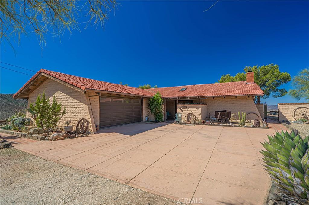
Santa Clarita Valley Real Estate: Masterplanned Excellence and the 5 Freeway Corridor

The Santa Clarita Valley — the broad residential valley north of the Santa Susana Mountains along the I-5 freeway corridor — has developed from a collection of small communities (Newhall, Saugus, Castaic, Valencia) into one of the most successful master-planned suburban development landscapes in California. The Valencia master plan (developed from 1965 onward by the Newhall Land and Farming Company, now FivePoint Communities) has created the prototypical “New Urbanism before New Urbanism” suburban landscape: the neighborhood village concept, the paseos (the pedestrian pathway network connecting neighborhoods without requiring street crossings), the community centers embedded in each village, and the excellent school facilities that have been built into the development plan from the beginning. The Santa Clarita Valley’s six incorporated communities (Santa Clarita is the umbrella city; the historic downtowns of Newhall, Saugus, Valencia, Canyon Country, Stevenson Ranch, and the unincorporated areas) provide the residential diversity within the planned community framework.

The Santa Clarita Valley’s residential market reflects the master-planned community quality, the William S. Hart Union High School District’s excellent academic programs, and the I-5 freeway corridor’s access to the San Fernando Valley’s employment centers and (via I-210) to Pasadena and the San Gabriel Valley. The SCV’s family residential demand is sustained by the school quality, the community infrastructure (the SCV’s extensive trail system, the Westfield Valencia Town Center, the community sports facilities), and the newer construction quality that the ongoing Valencia master plan expansion creates. Pricing ranges from the $600K-$900K tier in the older Newhall and Canyon Country areas to the $1M-$2M+ range in the newer master-planned Valencia village developments.
FAQs

What is the price range in Agua Dulce?

Agua Dulce’s 2026 median home price of approximately $700,000 to $1.1 million reflects the large lot sizes, rural lifestyle appeal, and the Vasquez Rocks area’s desirability as a specific Santa Clarita Valley address. Current specific pricing data for Agua Dulce is available from The Knight Group. The Santa Clarita Valley’s price range spans from approximately $550,000 in rural communities like Val Verde to $1.2 million or beyond in Valencia and Stevenson Ranch’s most developed master-planned sections; any specific community’s pricing requires context from its position within the SCV’s residential hierarchy.

How long is the commute from Agua Dulce to downtown Los Angeles?

The I-5 Freeway commute from Agua Dulce to downtown LA ranges from approximately 35 to 50 minutes off-peak to 60 to 90 minutes during peak commute hours, depending on the specific SCV community and the downtown destination. Metrolink Antelope Valley Line service from SCV stations to Union Station takes approximately 60 to 75 minutes and runs on a schedule that many SCV commuters prefer to the variable freeway travel time. SCV residents who work in the San Fernando Valley face shorter commutes than those going to downtown or the Westside, and the specific commute time should be tested before committing to an SCV address based on the destination employment.

What makes the Santa Clarita Valley’s schools strong?

William S. Hart Union High School District’s academic performance reflects the demographics and community investment of the Santa Clarita Valley’s professional and family-oriented residential community — parents who moved to the SCV specifically for school quality tend to be engaged stakeholders who sustain the district’s academic culture through parent involvement, booster organizations, and the advocacy that high-achieving districts depend on to maintain their performance over time. The elementary districts (Newhall, Saugus, Castaic, Sulphur Springs) share this community character. The specific high school campus assignment depends on the neighborhood within the Hart Union district boundaries.

What are Vasquez Rocks and why are they famous?

Vasquez Rocks Natural Area Park is a 932-acre Los Angeles County park in Agua Dulce featuring dramatic tilted sandstone rock formations that rise at 50-degree angles from the high-desert terrain — the result of tectonic plate movement along the San Andreas Fault system that has tilted the originally horizontal sedimentary rock layers into the dramatic diagonal formations visible today. The park’s name honors Tiburcio Vasquez, the 19th-century outlaw who used the rock formations as a hideout while evading law enforcement; the rocks’ dramatic visual character and the varied terrain made the park an attractive filming location from the earliest Hollywood westerns through the present day. The Star Trek franchise has filmed at Vasquez Rocks extensively (the distinctive rocks appear as alien planetary surfaces in multiple original series episodes and films); the park’s recognizable geology has also appeared in The Flintstones, Power Rangers, Blazing Saddles, and dozens of other productions. The park’s easy accessibility (adjacent to the 14 Freeway) and the trail network through the formations create a popular day hiking destination for the SCV and high-desert residential communities.

Explore More

Explore more Santa Clarita Valley neighborhoods:

Hey, You ALMOST MISSED IT!

Lucky for you we’re looking out.

Subscribe to this Custom Search to be alerted when new properties hit the market in the area.

Choose the frequency that works for you.

get alerts

[showcaseidx_contact]