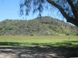
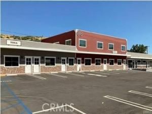
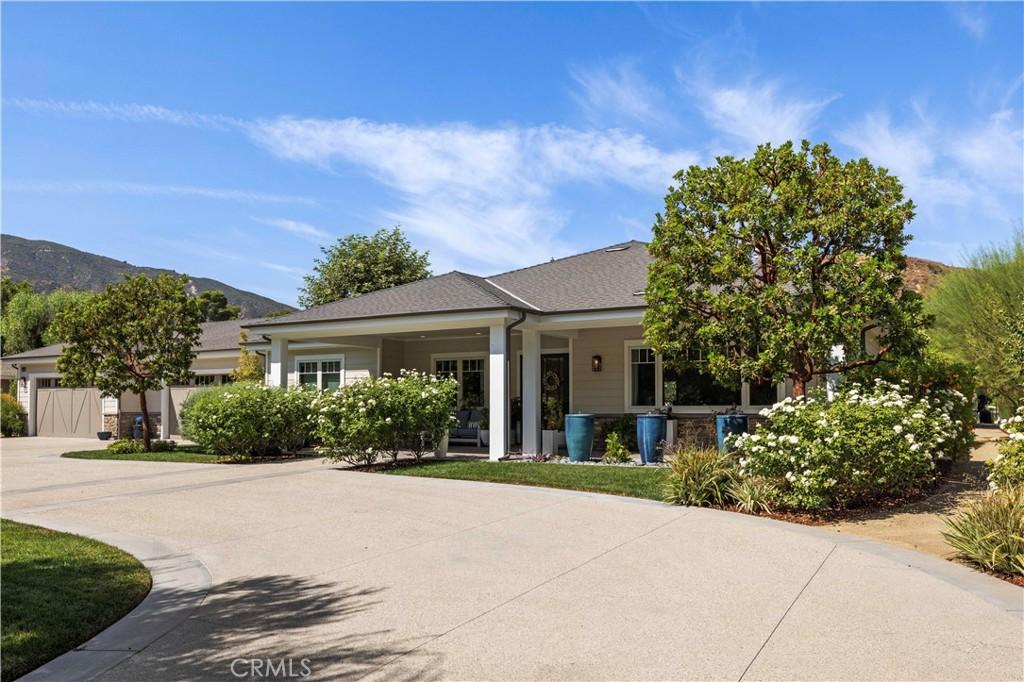
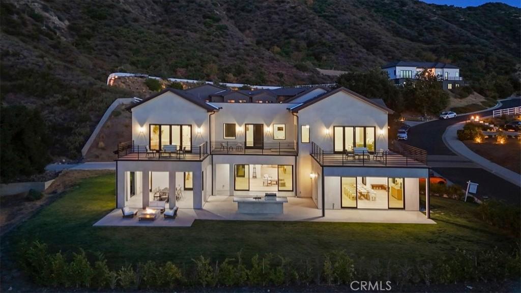
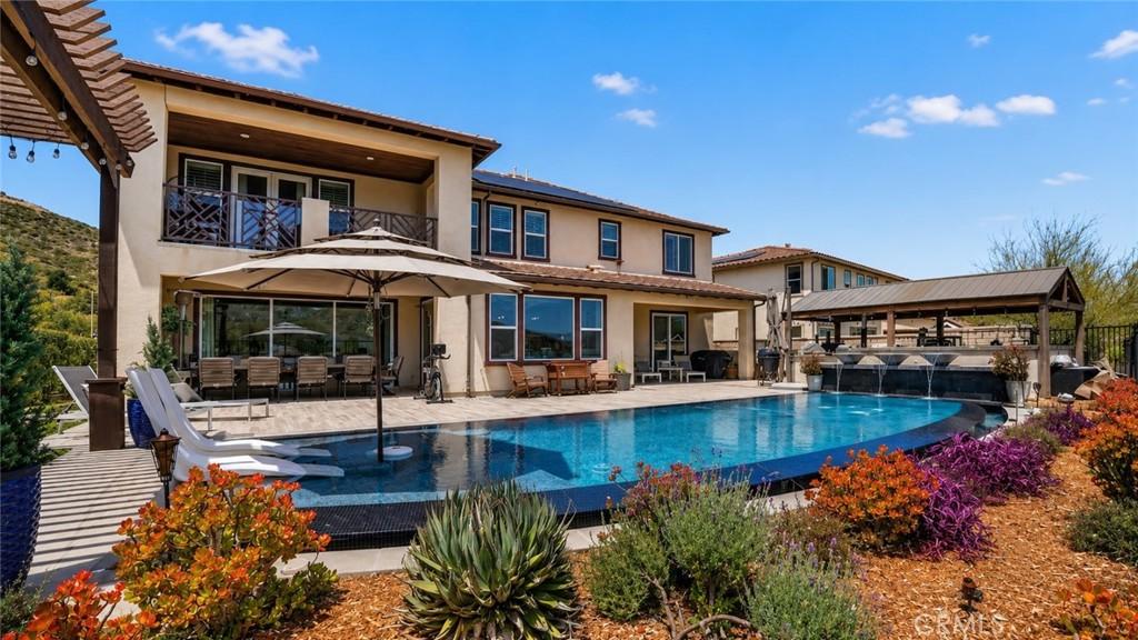
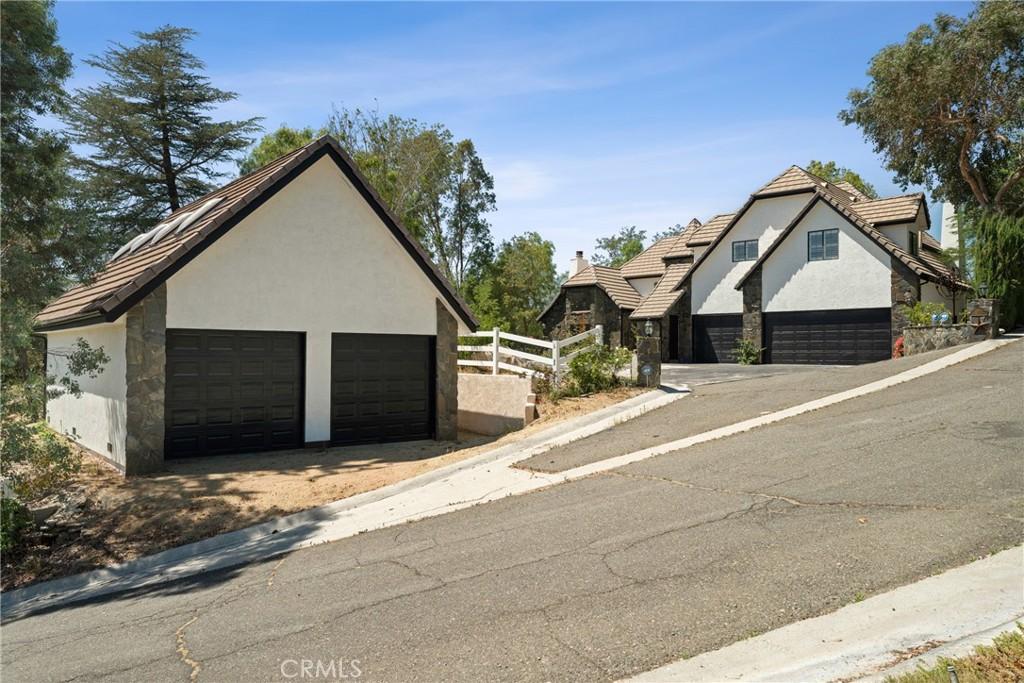
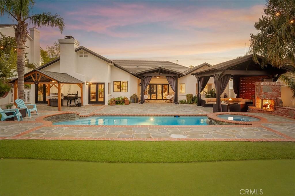
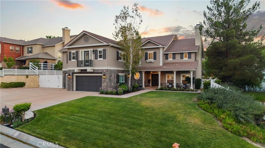
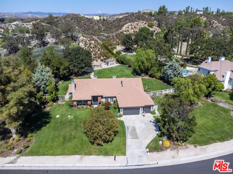
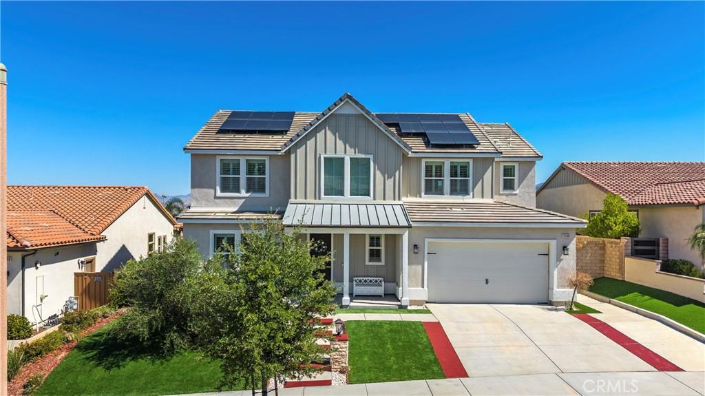
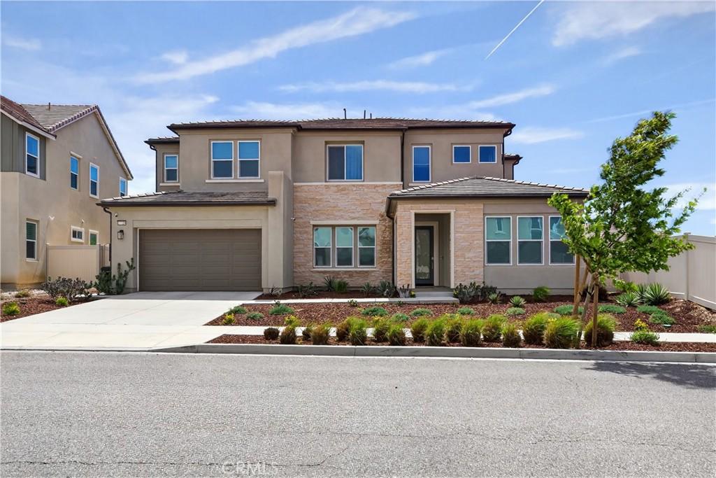
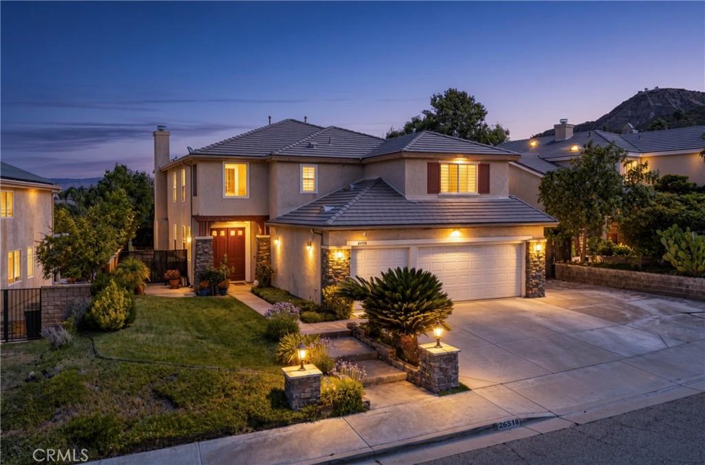
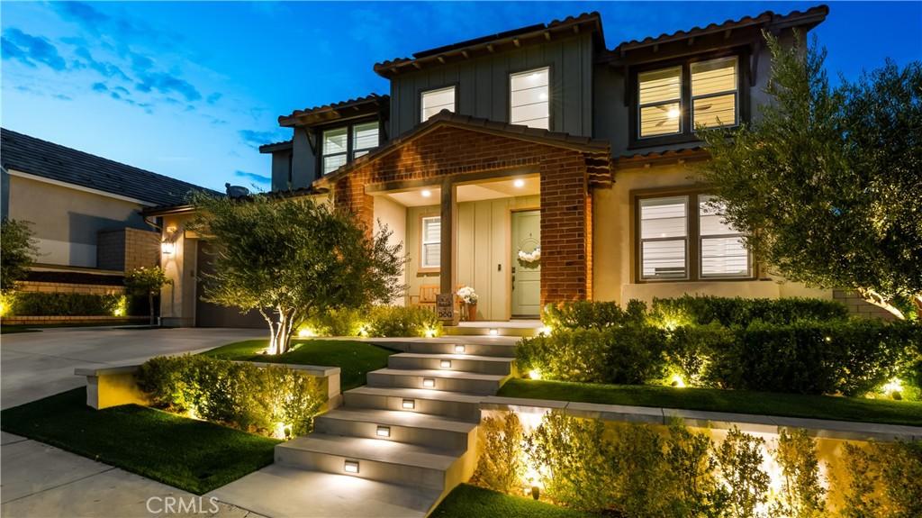
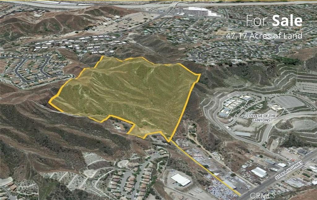
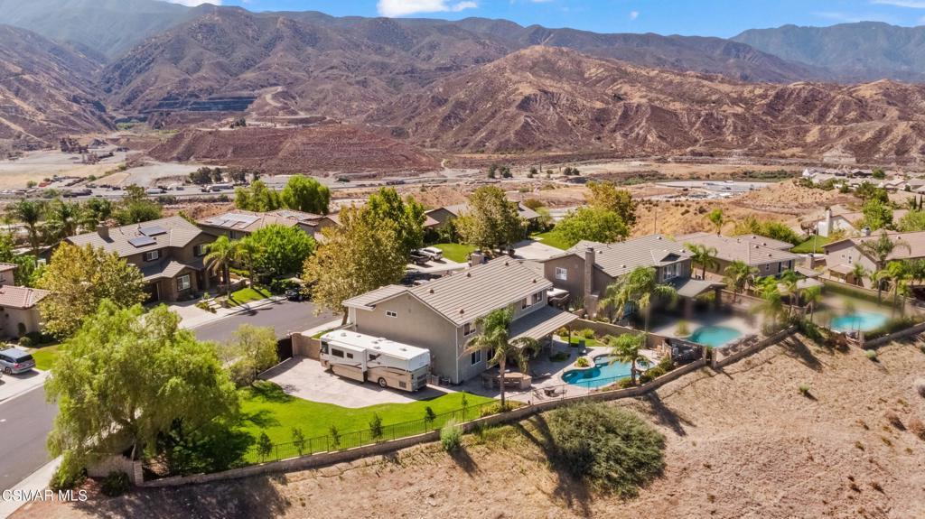
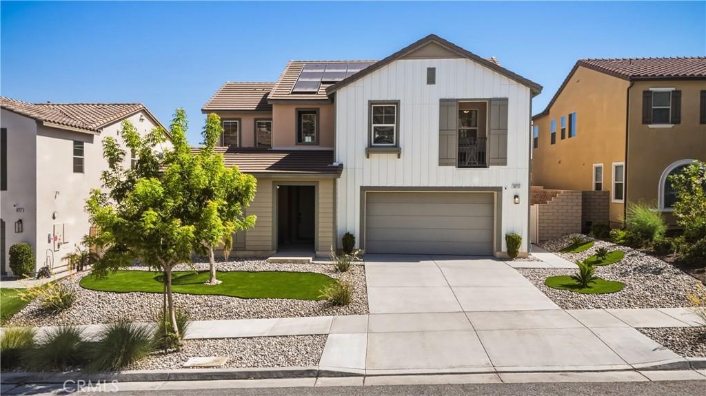
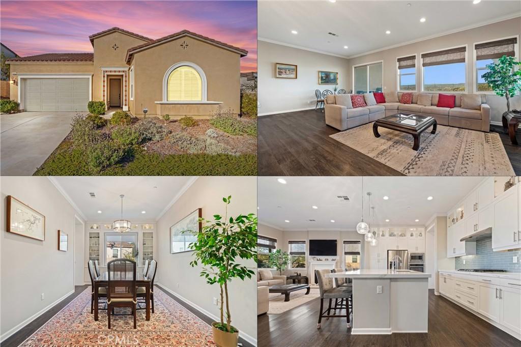
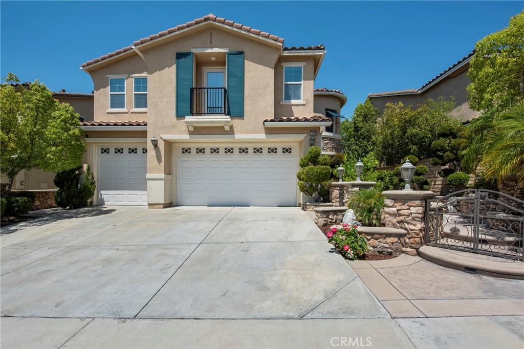
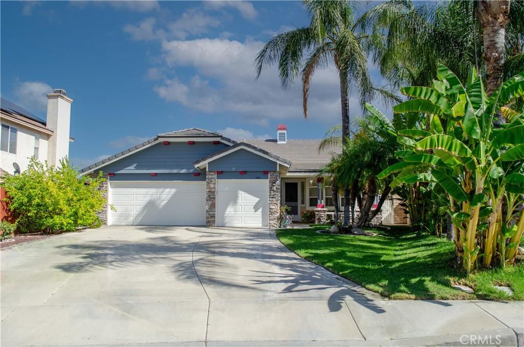
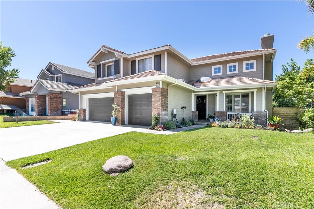
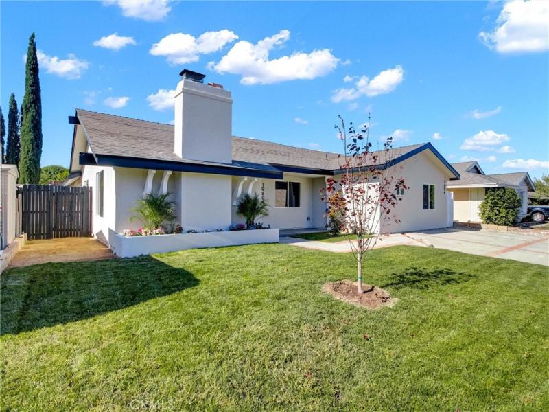
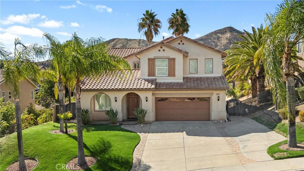
Canyon Country is a community in the Santa Clarita Valley — the rapidly growing residential region north of the San Fernando Valley in Los Angeles County where master-planned communities, the William S. Hart Union High School District’s strong academics, the I-5 Freeway corridor, and the natural setting of the Transverse Ranges create a family-oriented residential lifestyle at pricing that provides more space and newer construction than the San Fernando Valley at comparable or lower cost. Canyon Country is the Santa Clarita Valley’s eastern residential district — one of the four communities that make up the city of Santa Clarita, where affordable single-family homes, the Canyon High School campus, and good I-5 and 14 Freeway access create the SCV’s entry-level homeownership market. Canyon Country’s 2026 median home price of approximately $700,000 to $850,000 is the most accessible of the incorporated Santa Clarita communities, providing William S. Hart Union High School District access at the SCV’s more affordable price tier.
Browse all Los Angeles real estate — or explore the full Los Angeles luxury real estate market.
Canyon Country is one of the Santa Clarita Valley’s communities, canyon country is the santa clarita valley’s eastern residential district — one of the four communities that make up the city of santa clarita, where affordable single-family homes, the canyon high school campus, and good i-5 and 14 freeway access create the scv’s entry-level homeownership market within a regional residential zone that is defined by the Newhall Land development legacy — the master-planned Valencia community and the surrounding neighborhoods that have grown around it into one of the most complete planned residential environments in Los Angeles County, with parks, paseos, trail systems, and school facilities integrated into the residential planning in a way that distinguishes SCV development from generic suburban sprawl.
William S. Hart Union High School District serves the Santa Clarita Valley’s high school population with campuses including Valencia, Hart, Saugus, Canyon, Golden Valley, and Castaic High Schools — a district that consistently performs above the California average and that is a primary driver of SCV residential demand from families with school-age children who want strong public school options without private school costs. Elementary and middle school assignments depend on the specific neighborhood and district boundaries; Newhall, Saugus, Castaic, and Sulphur Springs elementary districts serve SCV’s younger grades with above-average academic performance that extends the school quality argument across the entire K-12 ladder.
The I-5 Freeway provides the Santa Clarita Valley’s primary commute corridor southbound to the San Fernando Valley and downtown Los Angeles (approximately 35 to 50 minutes off-peak, extending to 60 to 90 minutes during peak hours). The Metrolink Antelope Valley Line from the SCV’s Metrolink stations (Santa Clarita and Via Princessa) to downtown LA’s Union Station takes approximately 60 to 75 minutes and provides an alternative to the freeway commute that many SCV residents use regularly to avoid the peak-hour traffic congestion on the I-5. The commute time from the SCV is longer than from the San Fernando Valley, and buyers need to honestly assess their commute tolerance before choosing a specific SCV community based on destination employment.
The Santa Clarita Valley’s master-planned residential quality — the Valencia paseo pedestrian network, the community parks integrated into residential planning, the Trail Link system connecting neighborhoods to open space — creates a suburban residential environment that is genuinely distinct from the postwar grid-plan subdivisions that the San Fernando Valley’s residential stock primarily represents. For buyers who value new or newer construction, planned community amenities, and the specific lifestyle that the SCV’s combination of park access and freeway connectivity provides, the Santa Clarita Valley delivers a residential quality that comparable San Fernando Valley pricing often does not.
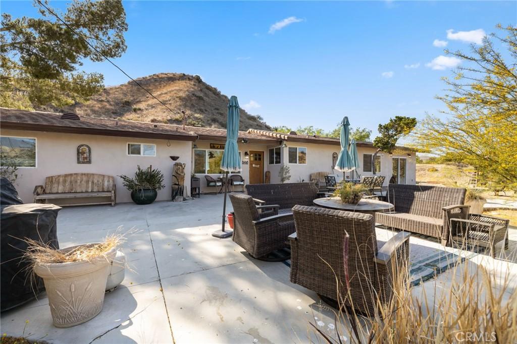
Canyon Country is the largest geographic section of the City of Santa Clarita — the eastern portion of the city that extends from the 14 Freeway corridor through the canyon terrain of the Santa Clara River watershed to the San Gabriel Mountains foothills. The community’s residential character spans from the older, established neighborhoods near Soledad Canyon Road (dating to the 1970s-1980s pre-city development era) to the newer master-planned Valencia-influenced developments of the 2000s-2010s that have brought the paseo-connected village character of Valencia’s planning model to Canyon Country’s eastern terrain. The Soledad Canyon Road commercial corridor, the newer Robinson Ranch area development, and the community parks and sports facilities that Santa Clarita has invested in throughout Canyon Country create the suburban residential infrastructure that serves the city’s largest geographic area.
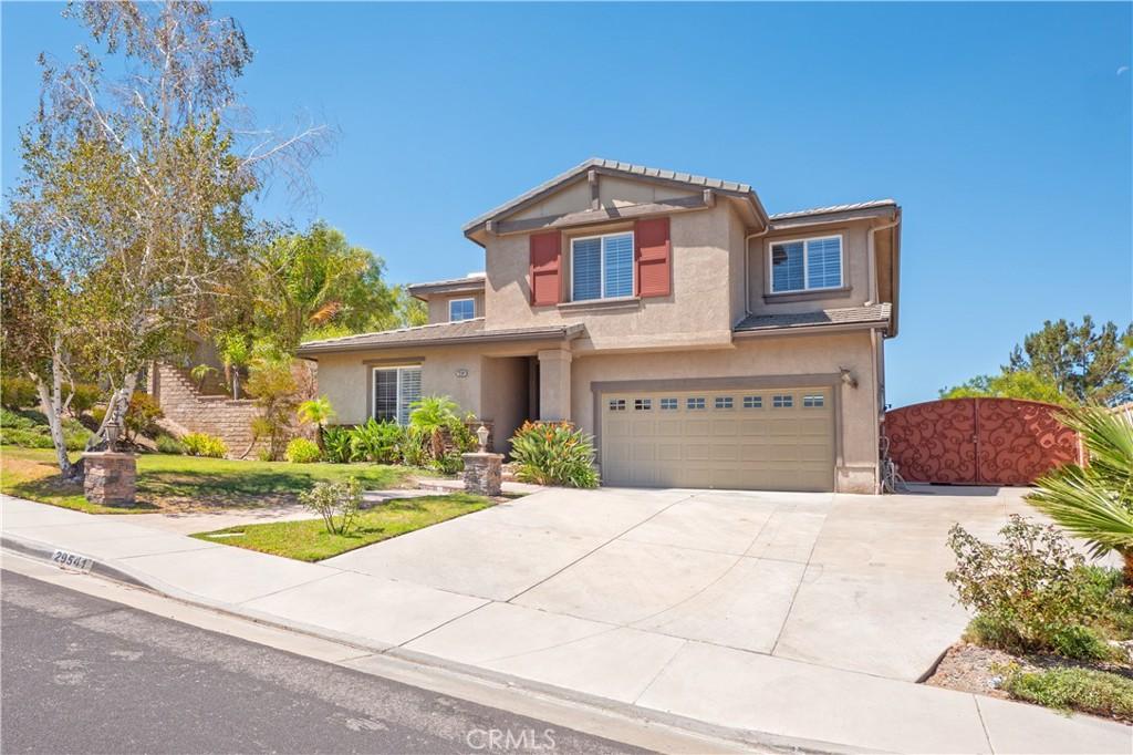
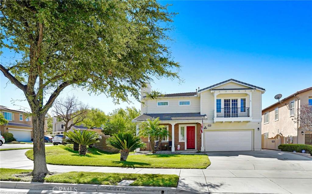
Canyon Country’s residential market provides the SCV’s most affordable entry-level to mid-tier pricing — the older 1970s-1990s single-family homes at $600K-$900K and the newer planned community properties at $700K-$1.2M that offer the William S. Hart Union High School District access and the Santa Clarita lifestyle at the SCV’s lowest price tier. The 14 Freeway’s Soledad Canyon Road interchange provides the commute access to the Antelope Valley and to the I-5 and I-210 freeway connections for the SCV employment corridor.
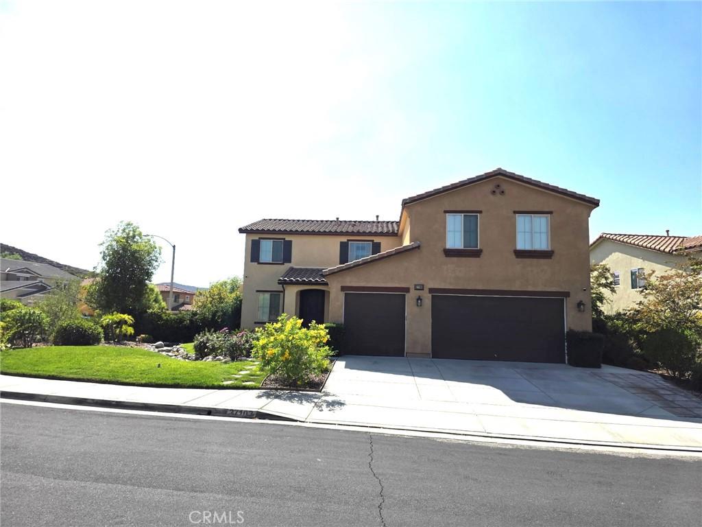
Canyon Country is the Santa Clarita Valley’s primary growth corridor for new residential development — the eastern portion of the City of Santa Clarita where the remaining buildable land within the SCV’s urban boundary has been concentrated as the western Valencia and Stevenson Ranch development areas have approached build-out. The newest planned residential communities in Canyon Country (the Robinson Ranch area development, the Plum Canyon development) reflect the continuing evolution of the SCV’s master-planned residential philosophy into the Canyon Country terrain — the trail connections, the community parks, and the village-scale commercial infrastructure that the new development incorporates create the SCV character that the older Canyon Country neighborhoods predate. The I-5 and SR-14 freeway access from Canyon Country’s Soledad Canyon Road and Sand Canyon Road interchanges creates the commute connectivity that the newer residential development serves; the drive time to the San Fernando Valley’s employment centers (20-25 minutes via the I-5 south to the 118 or the 210) sustains the Canyon Country residential demand from the Valley commuter who wants the SCV master-planned residential quality at the most affordable SCV price point.
Six Flags Magic Mountain is the Santa Clarita Valley’s most recognized landmark — the regional theme park on the I-5 corridor that draws visitors from across the Los Angeles basin and beyond. For Santa Clarita Valley residents, Six Flags is less a daily-life attraction and more a defining geographic marker — the community is “north of Six Flags” in the mental geography of most Los Angeles County residents. The theme park’s employment and the logistics and distribution centers along the I-5 corridor provide a significant local employment base that reduces the car commute burden for residents who work locally rather than commuting south to the San Fernando Valley or downtown LA.
The I-5 Freeway (Golden State Freeway) is the Santa Clarita Valley’s primary freeway connection — northbound to Bakersfield, the Central Valley, and Northern California; southbound to the San Fernando Valley, downtown Los Angeles (approximately 35 to 50 minutes off-peak), and Orange County (via the 5 south). The 14 Freeway (Antelope Valley Freeway) connects the SCV to the Antelope Valley and Palmdale/Lancaster to the northeast. The I-5/14 interchange at Santa Clarita is a significant regional transit hub; the Metrolink Antelope Valley Line provides commuter rail from the SCV to downtown Los Angeles’s Union Station (approximately 60 to 75 minutes), providing a transit alternative to the freeway for residents who commute to downtown LA.
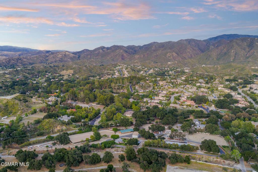
The Santa Clarita Valley’s natural setting — the Transverse Ranges to the north, the San Francisquito Canyon, Bouquet Canyon, and the Santa Clara River’s riparian corridor — provides a genuine natural landscape backdrop that the planned residential communities’ park and paseo systems extend into the daily residential experience. The city of Santa Clarita maintains an extensive trail network including the Santa Clara River Trail for cycling and hiking, and the surrounding national forest land provides additional recreational access that distinguishes the SCV lifestyle from the purely urban residential environment of the San Fernando Valley communities to the south.
The Santa Clarita Valley is one of the fastest-growing residential regions in Los Angeles County — a planned residential zone north of the San Fernando Valley in the Santa Clara River watershed where the city of Santa Clarita (comprising Valencia, Newhall, Saugus, and Canyon Country), the unincorporated communities of Stevenson Ranch, Castaic, Acton, and Agua Dulce, and the rural Val Verde community create a residential landscape that spans from master-planned suburban communities to rural equestrian estates. The 2026 median home price across the Santa Clarita Valley ranges from approximately $550,000 for Val Verde’s rural community to $900,000 to $1.2 million in Valencia and Stevenson Ranch’s most developed master-planned residential sections.
Valencia is the Santa Clarita Valley’s planning centerpiece — the master-planned community developed by the Newhall Land company beginning in the 1960s that established the Valencia Town Center mall, Cal State University Northridge’s satellite campus, the Valencia Industrial Center, and residential villages organized around paseos (pedestrian pathways) and parks that have influenced planned residential development across California. Valencia’s paseo system — the network of connected walkways linking homes, parks, and community facilities — remains one of the most innovative residential planning features in Southern California, allowing residents to walk to schools, parks, and commercial areas through the neighborhood interior rather than along arterial streets.
The William S. Hart Union High School District serves the Santa Clarita Valley’s high school population with multiple campuses including Valencia, Hart, Saugus, Canyon, Golden Valley, and Castaic High Schools. The district consistently performs above the California average, making it a significant driver of residential demand from families with school-age children who are priced out of the San Fernando Valley’s premium residential areas but who want comparable school district quality. Elementary and middle school assignments within the Santa Clarita Valley vary by neighborhood; Newhall, Saugus, and Castaic school districts serve the elementary grades in their respective communities.
The Santa Clarita Valley — the broad residential valley north of the Santa Susana Mountains along the I-5 freeway corridor — has developed from a collection of small communities (Newhall, Saugus, Castaic, Valencia) into one of the most successful master-planned suburban development landscapes in California. The Valencia master plan (developed from 1965 onward by the Newhall Land and Farming Company, now FivePoint Communities) has created the prototypical “New Urbanism before New Urbanism” suburban landscape: the neighborhood village concept, the paseos (the pedestrian pathway network connecting neighborhoods without requiring street crossings), the community centers embedded in each village, and the excellent school facilities that have been built into the development plan from the beginning. The Santa Clarita Valley’s six incorporated communities (Santa Clarita is the umbrella city; the historic downtowns of Newhall, Saugus, Valencia, Canyon Country, Stevenson Ranch, and the unincorporated areas) provide the residential diversity within the planned community framework.
The Santa Clarita Valley’s residential market reflects the master-planned community quality, the William S. Hart Union High School District’s excellent academic programs, and the I-5 freeway corridor’s access to the San Fernando Valley’s employment centers and (via I-210) to Pasadena and the San Gabriel Valley. The SCV’s family residential demand is sustained by the school quality, the community infrastructure (the SCV’s extensive trail system, the Westfield Valencia Town Center, the community sports facilities), and the newer construction quality that the ongoing Valencia master plan expansion creates. Pricing ranges from the $600K-$900K tier in the older Newhall and Canyon Country areas to the $1M-$2M+ range in the newer master-planned Valencia village developments.
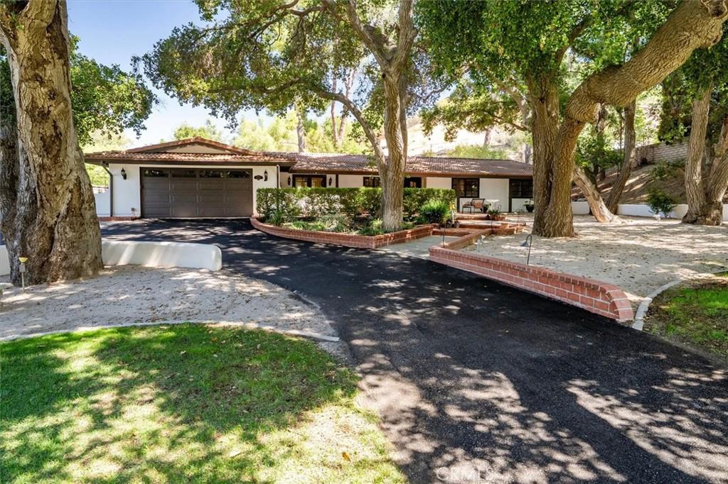
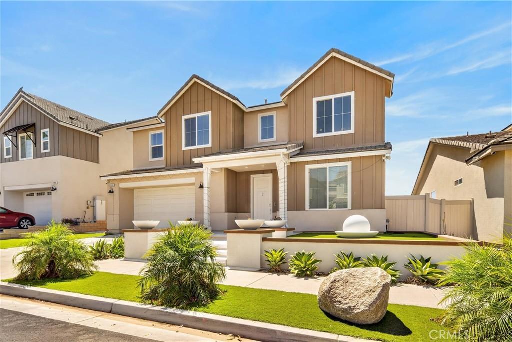
Canyon Country’s 2026 median home price of approximately $700,000 to $850,000 is the most accessible of the incorporated Santa Clarita communities, providing William S. Hart Union High School District access at the SCV’s more affordable price tier. Current specific pricing data for Canyon Country is available from The Knight Group. The Santa Clarita Valley’s price range spans from approximately $550,000 in rural communities like Val Verde to $1.2 million or beyond in Valencia and Stevenson Ranch’s most developed master-planned sections; any specific community’s pricing requires context from its position within the SCV’s residential hierarchy.
The I-5 Freeway commute from Canyon Country to downtown LA ranges from approximately 35 to 50 minutes off-peak to 60 to 90 minutes during peak commute hours, depending on the specific SCV community and the downtown destination. Metrolink Antelope Valley Line service from SCV stations to Union Station takes approximately 60 to 75 minutes and runs on a schedule that many SCV commuters prefer to the variable freeway travel time. SCV residents who work in the San Fernando Valley face shorter commutes than those going to downtown or the Westside, and the specific commute time should be tested before committing to an SCV address based on the destination employment.
William S. Hart Union High School District’s academic performance reflects the demographics and community investment of the Santa Clarita Valley’s professional and family-oriented residential community — parents who moved to the SCV specifically for school quality tend to be engaged stakeholders who sustain the district’s academic culture through parent involvement, booster organizations, and the advocacy that high-achieving districts depend on to maintain their performance over time. The elementary districts (Newhall, Saugus, Castaic, Sulphur Springs) share this community character. The specific high school campus assignment depends on the neighborhood within the Hart Union district boundaries.
The William S. Hart Union High School District (named for the silent film actor who willed his estate to the County of Los Angeles as a museum) serves the Santa Clarita Valley’s secondary K-12 student population — the high schools in Newhall, Saugus, Valencia, Canyon Country, and the surrounding communities that together constitute one of the better-performing large unified high school districts in the greater Los Angeles area. The district’s high schools (Hart, Golden Valley, Saugus, Valencia, West Ranch, Canyon, and the continuation schools) serve approximately 20,000 students across the SCV; the college preparation and AP programming that the district’s suburban professional-community demographics support create the academic quality that sustains the SCV’s family residential demand. West Ranch High School (in Stevenson Ranch) and Valencia High School typically rank as the district’s highest-performing campuses on state assessment metrics and college preparation outcomes; Canyon Country students primarily attend Canyon High School or Golden Valley High School, both of which offer comprehensive academic programs within the Hart District’s framework.
Explore more Santa Clarita Valley neighborhoods:
Lucky for you we’re looking out.
Subscribe to this Custom Search to be alerted when new properties hit the market in the area.
Choose the frequency that works for you.