The Halo Cities Homes for Sale: What Buyers Should Know
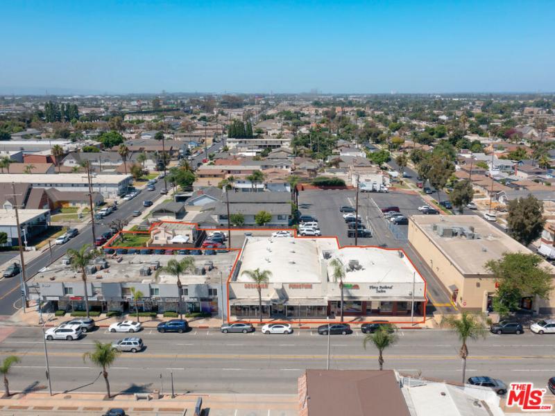
Most people searching the Halo Cities homes for sale are looking at the ring of independent cities and unincorporated communities wrapping the southeast side of Los Angeles, between downtown, Long Beach, and the Orange County line. Most of these 21 markets overlap with the Gateway Cities bloc coordinated out of Paramount. You are buying inside the LA metro, on the same freeway network and with the same job access, but outside the City of Los Angeles, which means different ordinances and different school districts.
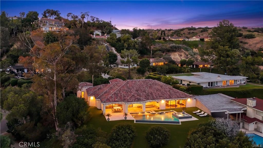
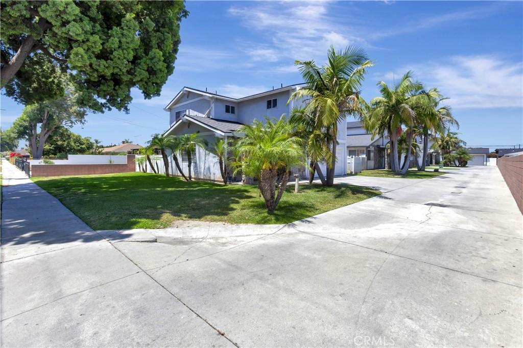
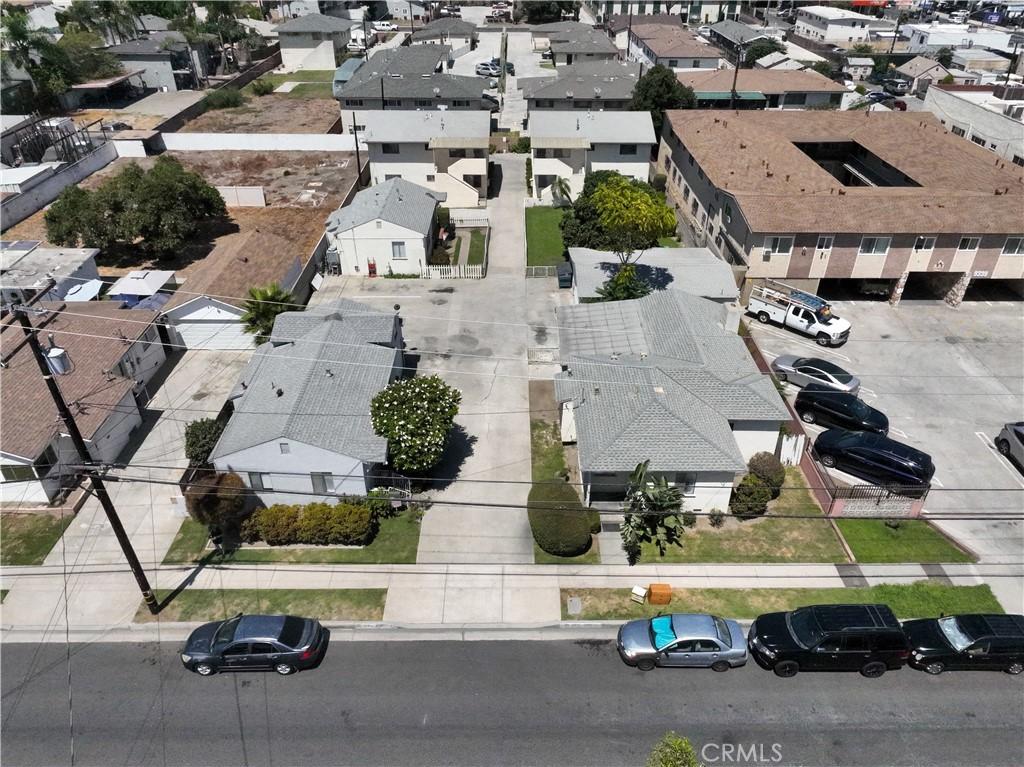
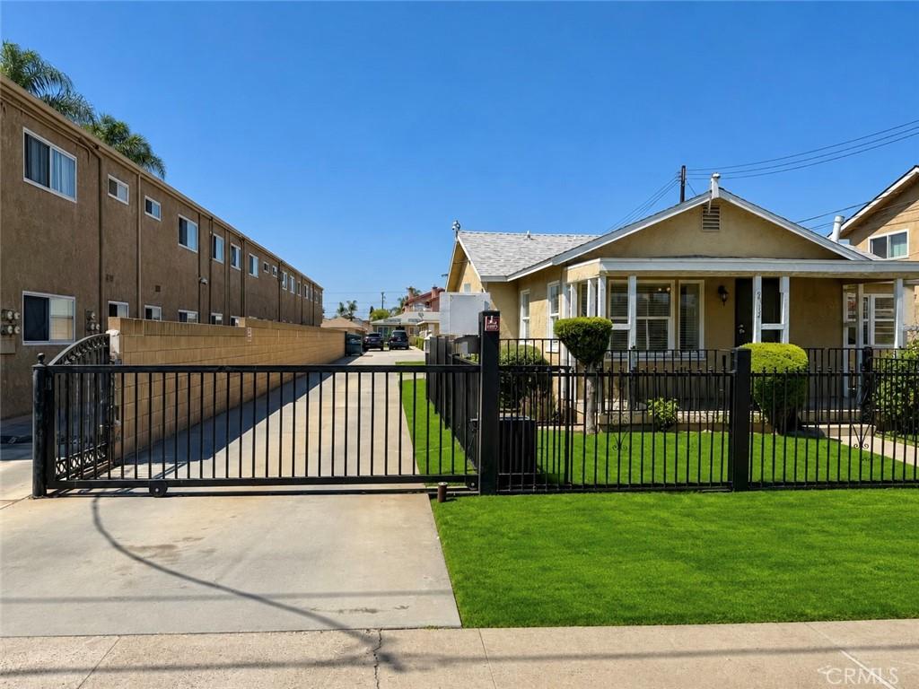
The housing is mostly detached single-family, and it is older with smaller lots. What varies is a lot: one-acre parcels and no sidewalks in La Habra Heights, ABC Unified tract homes in Cerritos, Craftsman and Spanish Colonial Revival in Whittier’s College Hills and Friendly Hills. Industrial history sits under much of it.
Browse the active listings below, or contact The Knight Group and we will tell you which of these 21 markets fits what you are actually trying to do.
Where exactly are the Halo Cities, and why are they grouped together?
The group runs from the industrial flats southeast of downtown Los Angeles out to the Orange County border. Cerritos sits near the center, roughly equidistant from downtown Los Angeles, Long Beach, and Santa Ana. The northern edge is the Whittier Narrows, the water gap between the Puente Hills and the Montebello Hills where the Rio Hondo and the San Gabriel River converge.
They belong together because they share an economic history. This was dairy land, oil land, and manufacturing land. Bellflower served first as an apple and then a milk production center for Southern California. Artesia was settled by Portuguese and Dutch dairy farmers in the early 1920s. Cerritos incorporated in 1956 as Dairy Valley and took its current name in 1967. Paramount’s last dairy closed in 1977.
The industrial layer sat on top of that. Santa Fe Springs became one of the richest petroleum fields in history after the Union-Bell well came in as a 2,500-barrel gusher in 1921, with production peaking near 345,000 barrels a day later that decade. South Gate hosted a Firestone plant from December 1927 and a General Motors assembly plant that ran until the mid-1980s. Downey built Apollo and Space Shuttle hardware for North American Aviation and later Rockwell International, on a site that ran more than 70 years before closing in 1999. Freight rail still crosses Commerce, Santa Fe Springs, and Pico Rivera. That history is why the price spread inside a 15-mile radius is as wide as it is.
Which Halo Cities sit at the top of the price and school tier?
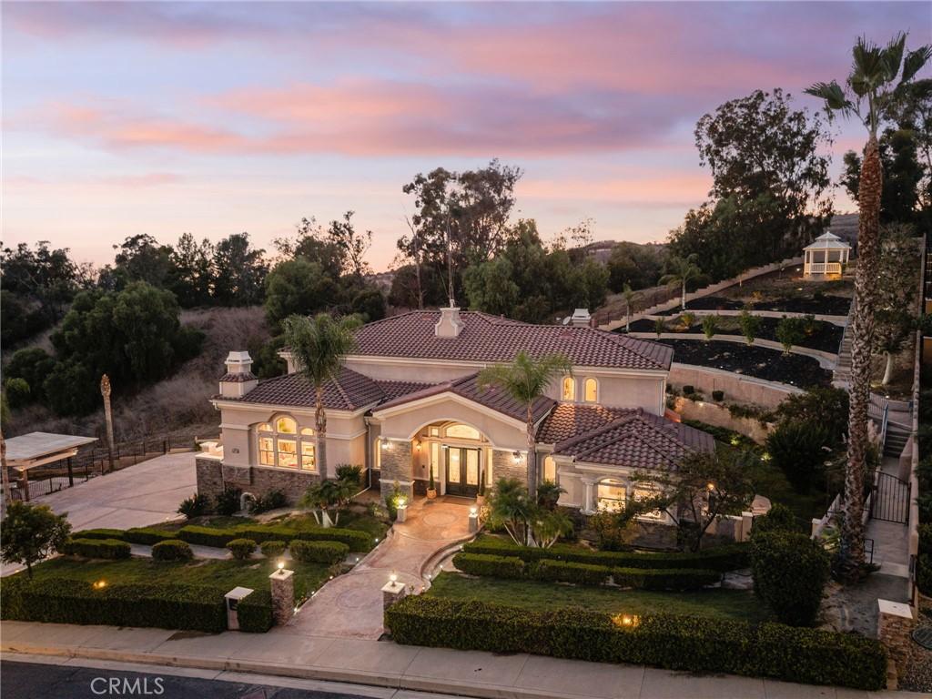
Four markets carry the region’s highest income and ownership profiles. La Habra Heights is the outlier: a 6.16-square-mile city of 5,682 residents at the 2020 census, zoned largely to one-acre lots, with no sidewalks and a canyon-and-ridge street grid kept deliberately rural. The Census Bureau estimated its 2023 median household income at $186,837, the highest in this group by a wide margin. Rudolph Hass developed the Hass avocado here in 1926. No schools sit inside city limits, so families draw on the Lowell Joint, La Habra City, and Fullerton Joint Union districts depending on address.
Cerritos is the school-driven market. Most of the city feeds ABC Unified, and the Census Bureau put its 2023 median household income at $133,953 with 76.4 percent owner-occupancy, among the highest in the region. It also carries civic amenities its neighbors do not: the Cerritos Center for the Performing Arts, which opened in January 1993 to a Barton Myers design, plus Los Cerritos Center and the Cerritos Auto Square. Three freeways touch it: the 605 on the west, the 91 through the middle, and the 5 along the northeast border.
La Mirada runs a similar profile at a lower entry point. It incorporated in 1960 as Mirada Hills, counted 48,008 residents in 2020, and posted a 2023 median household income of $110,177 with 77.1 percent owner-occupancy. Biola University sits inside the city, along with the La Mirada Theatre for the Performing Arts and the Splash! aquatics center. Most of it feeds Norwalk-La Mirada Unified.
Whittier is the largest of the four at 87,306 residents across 14.7 square miles. Quakers founded it and named it for the poet John Greenleaf Whittier; it incorporated February 25, 1898, and Whittier College dates to 1896. Uptown Whittier around Philadelphia Street and Greenleaf Avenue is a genuine walkable downtown, and the hillside neighborhoods of College Hills and Friendly Hills hold Craftsman and Spanish Colonial Revival housing in historic districts. Its 2016 to 2020 ACS median household income was $76,026, which understates the hillside submarkets because the city spans such a wide range of housing types.
Which Halo Cities are the established mid-tier suburbs?
This is where most transaction volume lives. Downey is the anchor: 114,355 residents at the 2020 census, the tenth largest city in Los Angeles County, roughly 13 miles southeast of downtown. Downey Unified runs three comprehensive high schools. Four freeways serve it, the 5, 105, 605, and 710, and the Metro C Line touches the southern edge. Median household income was $87,400 per 2023 Census Bureau estimates, with tenure split close to even. The city also holds the world’s oldest operating McDonald’s, opened in 1953.
Norwalk is the second large one, 102,773 residents in 2020, incorporated August 1957, with a 2023 median household income of $98,709 and 64.6 percent owner-occupancy. Its transit position is the best in the region: the Metro C Line runs from the Norwalk station to LAX and Redondo Beach, and the Norwalk/Santa Fe Springs Metrolink station serves the Orange County and 91/Perris Valley lines. Cerritos College is here.
Pico Rivera formed in 1958 by merging the farming communities of Pico and Rivera and held 62,088 residents in 2020. El Rancho Unified serves most students and is the city’s largest employer. Owner-occupancy ran near 69 percent against a 2023 median household income of $86,956. Artesia is small and specific: 1.62 square miles, 16,395 residents, ABC Unified schools, and a 2023 median household income of $97,712. Pioneer Boulevard holds one of the largest concentrations of Indian-owned businesses in Southern California, a district that draws regionally rather than locally.
Bellflower counted 79,190 residents in 2020 and a 2023 median household income of $77,602, but only 39.2 percent owner-occupancy. That renter majority matters to anyone modeling a small multifamily purchase. Paramount is comparable at 53,733 residents, 42.9 percent owner-occupancy, and a 2023 median household income of $70,912.
Two cities here are employment centers rather than residential markets. Santa Fe Springs had just 19,219 residents in 2020 but hosts a deep light-industrial base, with McMaster-Carr, Vans, and Southern Glazer’s Wine and Spirits among its largest employers as of 2020. Its students are split across five districts, so school assignment requires an address-level check. Commerce is the extreme version: 12,378 residents, incorporated in 1960 to keep its industrial land from annexation by Vernon or Los Angeles. It runs five free municipal bus lines for residents and contains the Commerce Casino and the Citadel Outlets. Residential inventory there is thin and turns rarely.
Which Halo Cities make up the dense inner ring?
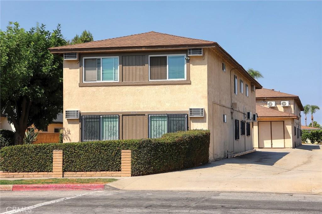
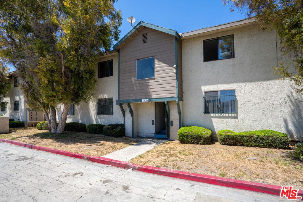
The cities pressed closest to downtown are the smallest in area and among the densest in the country. They are majority-renter markets with lower entry prices, and they behave more like income-property markets.
Huntington Park covers 3.02 square miles at roughly 18,200 residents per square mile, with 54,883 people counted in 2020. It incorporated in 1906 as a streetcar suburb for industrial workers, and Pacific Boulevard was the busiest shopping district in the southeastern LA suburbs from the 1930s through the 1950s, leaving Art Deco and Streamline Moderne buildings behind. Only 26.6 percent of units are owner-occupied. Cudahy is denser still: 1.23 square miles, 19,393 people per square mile, one of the highest densities of any incorporated city in the United States, and 17.7 percent owner-occupancy. Meat-packing industrialist Michael Cudahy subdivided the land in 1908 into railroad lots roughly 50–100 feet wide and 600–800 feet deep so residents could keep gardens and livestock. Those deep parcels still shape what is buildable.
Maywood packs 25,138 residents into 1.18 square miles, and on July 1, 2010 it became the first city in California to outsource all of its city services, disbanding its police force. Bell covers 2.63 square miles with 33,559 residents and remains associated with the 2010 salary scandal in which city manager Robert Rizzo drew $787,637 a year and several officials were criminally convicted. Its 2019 to 2023 median household income was $60,641 against 28.4 percent owner-occupancy. Bell Gardens holds 39,501 residents in 2.46 square miles, is served by Montebello Unified, and contains the Bicycle Hotel and Casino. Owner-occupancy there was 23.5 percent.
South Gate is the largest of the inner ring at 92,726 residents. It incorporated in January 1923 and adopted the Tweedy Boulevard Specific Plan in 2019 to bring mixed-use zoning to its historic main street. Lynwood had 67,265 residents in 2020, runs its own unified district with three high schools, and hosts St. Francis Medical Center and Plaza México. The 710 and 105 cross it and the Metro C Line runs in the 105 median. Its 2023 median household income was $70,236 with 46.6 percent owner-occupancy.
Compton is one of the county’s oldest cities, incorporated May 11, 1888 as the eighth in Los Angeles County. It counted 95,740 residents in 2020, is served by Compton Unified and Compton College, and sits at the crossing of the 710, 91, 105, and 110 with a Metro A Line station. It also holds Richland Farms, an equestrian neighborhood that exists because Griffith D. Compton’s land donation required a portion be zoned for agriculture. Horse-keeping parcels inside a dense urban county are rare and trade on their own logic.
East Los Angeles is not a city. It is an unincorporated census-designated place of 118,786 residents across 7.46 square miles, governed directly by Los Angeles County, with cityhood campaigns including one in 2010 that did not succeed. Schools are split between Los Angeles Unified and Montebello Unified, and the Metro E Line Eastside Extension opened in 2009. Because it is unincorporated, county ordinances apply there that do not apply in the neighboring cities. That is the first thing to understand before buying.
How good is freeway and transit access from the Halo Cities?
Freeway access is the region’s structural advantage. Interstates 5, 405, 605, 105, 710, and 110 serve the area, along with State Routes 91, 60, 22, and 1. Few submarkets in Southern California give you four freeway options within a few miles the way Downey and Compton do. Distance is not the constraint here; direction and time of day are.
Rail is thinner but improving. The Metro A Line serves Compton, and Huntington Park residents use its nearby Slauson and Florence stations. The C Line runs through Lynwood and Downey and terminates at Norwalk, the E Line serves East Los Angeles, and Metrolink stops at Commerce and Norwalk/Santa Fe Springs.
The change coming is the Southeast Gateway Line. Metro’s 19.3-mile light rail project will connect downtown Los Angeles to Artesia through Vernon, Huntington Park, Bell, Cudahy, South Gate, Downey, Paramount, Bellflower, and Cerritos. Advance utility relocation broke ground October 31, 2024. Phase 1 covers 11 stations from Pioneer in Artesia to Slauson with an estimated 2035 opening; the extension to Union Station is targeted for 2043. On a 10-year hold, station proximity is worth mapping now.
What risks should a buyer underwrite in the Halo Cities?
Seismic. The Puente Hills blind thrust fault runs roughly 25 miles from the Puente Hills northwest to just south of Griffith Park, directly under the northern part of this region. It was the source of the October 1, 1987 Whittier Narrows earthquake, a magnitude 5.9 event that killed eight people. Published modeling of a larger 7.2–7.5 rupture projects damage well beyond the 1994 Northridge earthquake. That is not a reason to avoid the area. It is a reason to read the retrofit history on any pre-1980 house and to price earthquake coverage before removing contingencies.
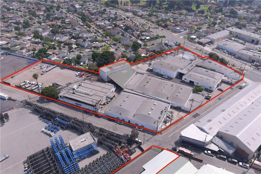
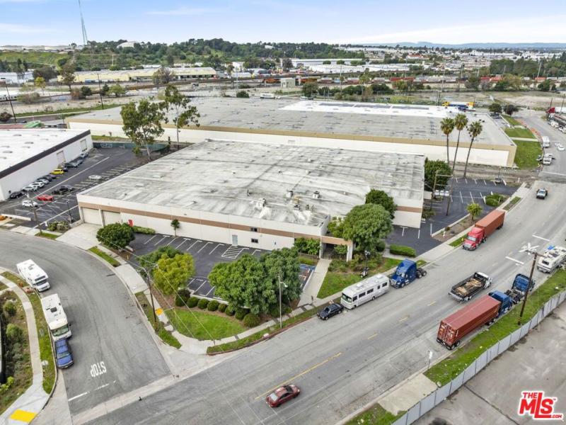
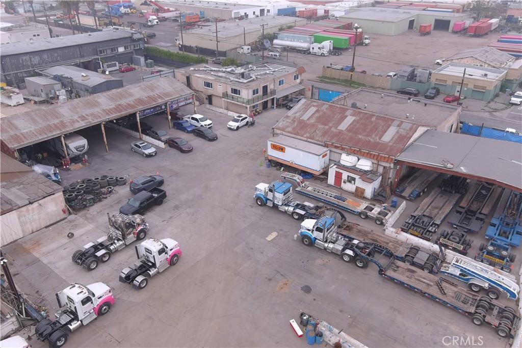
Industrial legacy. Santa Fe Springs, Commerce, South Gate, Pico Rivera, and parts of Downey carry a century of oil, tire, auto assembly, and freight-rail history. Environmental review near former industrial sites is a legitimate line item, and so is a hard look at what operates across the street. Freight corridors carry noise and truck traffic that never shows up in a photograph.
Fire and terrain. The hillside portions of La Habra Heights and Whittier are canyon and ridge country with limited road access, and La Habra Heights runs its own combination fire department for that reason. California requires natural hazard disclosure for properties in mapped fire hazard severity zones. Confirm the current designation for the specific parcel, because insurance availability and pricing follow it directly.
Do City of Los Angeles rules like Measure ULA apply in the Halo Cities?
No, and that is why a lot of sellers and investors look at this region. Measure ULA is a City of Los Angeles transfer tax and applies to property inside City of Los Angeles boundaries. Every incorporated city in this group sits outside them, as does East Los Angeles, which is unincorporated county territory. Confirm parcel-level jurisdiction before relying on that, because boundaries here are genuinely irregular.
The same logic runs the other way on rent regulation. The Los Angeles County Rent Stabilization and Tenant Protections Ordinance applies to eligible properties in unincorporated Los Angeles County only, which reaches East Los Angeles but not Downey, Bellflower, or Compton. Several incorporated cities have adopted their own tenant ordinances, and the statewide Tenant Protection Act sets a floor everywhere. If you are buying two-to-four units here, the rules change when you cross a city line. Verify the ordinance for the address before underwriting rent growth.
Who actually buys in the Halo Cities?
Three buyer types dominate. The first is the move-up family priced out of the Westside, the South Bay, or coastal Orange County that wants a detached house with a yard and a defined school district. That decision usually narrows to Cerritos, La Mirada, Whittier, or Downey. The second is the local buyer moving out of a rental in the inner ring into ownership one city out: Huntington Park, Bell, or Maywood into South Gate, Paramount, or Bellflower.
The third is the investor buying small residential income property, drawn by the renter majorities in Bellflower, Bell Gardens, Cudahy, and Huntington Park. That thesis works, but only with jurisdiction-specific rent rules modeled correctly and real capital reserves on housing stock frequently 70 or more years old. A fourth and much smaller group wants acreage and horse property, which here means La Habra Heights and Richland Farms in Compton. Both are thin-inventory markets.
Frequently asked questions about the Halo Cities
Are the Halo Cities part of the City of Los Angeles?
No. Each is either an independent incorporated city with its own council and permit process, or in the case of East Los Angeles an unincorporated area governed by the county. They are in Los Angeles County, not in the City of Los Angeles.
Which Halo City has the strongest schools?
Cerritos is the most consistently school-driven market in the group, with most of the city inside ABC Unified and a 2023 median household income of $133,953 per Census Bureau estimates. La Mirada and Whittier also draw families for their districts. Several cities here straddle multiple districts, so assignment has to be confirmed by address.
Which Halo City is the most expensive?
La Habra Heights carries the highest income profile by a wide margin, with a 2023 median household income of $186,837 estimated by the Census Bureau, and it is zoned largely to one-acre lots. It is a different product type rather than a more expensive version of the same one.
Is East Los Angeles a city?
No. It is an unincorporated census-designated place of 118,786 residents as of the 2020 census, administered by Los Angeles County. Cityhood campaigns, including one in 2010, have not succeeded. Because it is unincorporated, county ordinances including the county rent stabilization program apply there.
Will the Southeast Gateway Line affect property values?
Too early to quantify, and we will not put a number on it. What is confirmed is the route and timeline: 19.3 miles from downtown Los Angeles to Artesia, with Phase 1 targeting a 2035 opening and utility relocation underway since October 2024. Station-adjacent parcels are worth identifying now on a long hold.
Are these good markets for rental property?
Several have renter majorities, including Bellflower at 60.8 percent renter-occupied, Bell Gardens at 76.5 percent, Cudahy at 82.3 percent, and Huntington Park at 73.4 percent per the 2020 census. That supports rental demand, and it also means tenant-protection rules differ by jurisdiction. Underwrite the specific city, not the region.
Should I worry about earthquake risk here?
Account for it rather than avoid the region for it. The Puente Hills thrust system produced the 1987 Whittier Narrows earthquake and runs under the northern portion of this area. Review retrofit history on older houses and get an earthquake insurance quote before contingencies are removed.
How does The Knight Group work in the Halo Cities?
We work this region address by address, not city by city. Two houses a block apart can sit in different school districts, different tenant ordinances, and different fire hazard designations. Before you write an offer we confirm district assignment, ordinance exposure, hazard zone status, and the parcel’s industrial and seismic history.
For sellers, pricing here has to be built from comparable submarkets rather than city medians. A median that blends hillside Whittier with flatland Whittier, or Cerritos condominiums with Cerritos detached housing, will mislead you in both directions.
If you are weighing two or three of these cities against each other, tell us the commute, the district requirement, and the number you want to stay under. We will tell you which is realistic and which is not. Contact The Knight Group, or review the current listings below.
What are The Halo Cities Homes like to live in?
- The Halo Cities Homes sit in the ring of independent cities and unincorporated communities wrapping the southeast side of Los Angeles.
- Buyers land between downtown Los Angeles, Long Beach, and the Orange County line while staying outside the City of Los Angeles itself.
- Living here means the same freeway network and job access as the LA metro, but different ordinances and different school districts.
- Housing stock across The Halo Cities Homes runs mostly detached single-family, older than newer suburbs, and set on smaller lots.
- La Habra Heights offers acreage parcels and no sidewalks, a deliberately rural street feel unlike anything else in the group.
- Cerritos delivers tract housing tied to ABC Unified, the classic school-driven suburban product for families who want a defined district.
- Whittier neighborhoods such as College Hills and Friendly Hills carry Craftsman and Spanish Colonial Revival architecture rather than uniform tract design.
- Cerritos sits near the center of the group, roughly equidistant from downtown Los Angeles, Long Beach, and Santa Ana.
- The Whittier Narrows forms the northern edge, the water gap where the Rio Hondo and the San Gabriel River converge.
- Puente Hills and Montebello Hills frame that northern gap, giving the upper end of the region real terrain.
- Shared economic history binds The Halo Cities Homes together: dairy land, oil land, and manufacturing land under the same freeway grid.
- Bellflower served first as an apple center and then as a milk production center for Southern California.
- Artesia was settled by Portuguese and Dutch dairy farmers, and Cerritos incorporated under the name Dairy Valley before changing it.
- Santa Fe Springs became one of the richest petroleum fields in history after the Union-Bell well came in as a gusher.
- South Gate hosted a Firestone plant and a General Motors assembly plant, while Downey built Apollo and Space Shuttle hardware.
- Freight rail still crosses Commerce, Santa Fe Springs, and Pico Rivera, a working industrial layer sitting beneath much of the region.
Who buys The Halo Cities Homes and what should they watch for?
- Freeway access is the structural advantage of The Halo Cities Homes, with interstates and state routes threading the region in every direction.
- Downey and Compton give buyers several freeway options within a few miles, a rarity among Southern California submarkets.
- Direction and time of day constrain commutes here far more than raw distance from any given job center.
- Rail service runs thinner than freeway service but keeps improving across the southeast side of the county.
- Metro A Line stations serve Compton, and Huntington Park residents use the nearby Slauson and Florence stops.
- The C Line runs through Lynwood and Downey and terminates at Norwalk, while Metrolink stops at Commerce and Norwalk/Santa Fe Springs.
- Metro’s Southeast Gateway Line will connect downtown Los Angeles to Artesia through Huntington Park, South Gate, Downey, Paramount, Bellflower, and Cerritos.
- Station proximity is worth mapping now for anyone planning a long hold on The Halo Cities Homes.
- Seismic risk deserves underwriting, since the Puente Hills blind thrust fault runs directly beneath the northern part of the region.
- The Whittier Narrows earthquake originated on that fault system, which is a reason to read retrofit history rather than avoid the area.
- Earthquake coverage should be priced before contingencies come off, particularly on older houses built before modern standards.
- Industrial legacy in Santa Fe Springs, Commerce, South Gate, Pico Rivera, and parts of Downey makes environmental review a legitimate line item.
- Freight corridors carry noise and truck traffic that never shows up in a listing photograph.
- Hillside portions of La Habra Heights and Whittier are canyon and ridge country, and La Habra Heights runs its own combination fire department.
- Measure ULA applies only inside City of Los Angeles boundaries, which every incorporated city in this group sits outside of.
- Move-up families priced out of the Westside, South Bay, or coastal Orange County drive much of the demand for The Halo Cities Homes.
Which of The Halo Cities Homes should I choose?
- Cerritos is the most consistently school-driven choice among The Halo Cities Homes, with most of the city inside ABC Unified.
- La Mirada and Whittier also draw families for their districts, giving buyers alternatives when Cerritos proves out of reach.
- Several cities in this group straddle multiple school districts, so assignment has to be confirmed by address rather than by city name.
- La Habra Heights carries the highest income profile by a wide margin and is zoned largely to acreage lots.
- La Habra Heights represents a different product type entirely rather than a more expensive version of the same suburban house.
- East Los Angeles is not a city but an unincorporated census-designated place administered by Los Angeles County.
- Cityhood campaigns in East Los Angeles have not succeeded, so county ordinances including rent stabilization continue to apply there.
- The Southeast Gateway Line route and timeline are confirmed, running from downtown Los Angeles to Artesia with utility relocation already underway.
- Station-adjacent parcels among The Halo Cities Homes are worth identifying now for buyers planning a long hold.
- Rental demand is supported in several cities with renter majorities, including Bellflower, Bell Gardens, Cudahy, and Huntington Park.
- Tenant-protection rules differ by jurisdiction, so investors should underwrite the specific city rather than the region as a whole.
- Earthquake risk should be accounted for rather than treated as a reason to avoid the region.
- The Puente Hills thrust system produced the Whittier Narrows earthquake and runs under the northern portion of this area.
- The Knight Group works this region address by address, because two houses a block apart can face entirely different rules.
- District assignment, ordinance exposure, hazard zone status, and industrial and seismic history all get confirmed before an offer is written.
- Sellers of The Halo Cities Homes need pricing built from comparable submarkets, since city medians blend hillside with flatland and condominiums with detached housing.