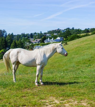
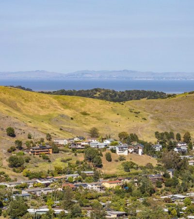
Portola Valley is the most rural incorporated town on the San Francisco Peninsula, a residential community of approximately 4,400 residents in the Santa Cruz Mountain foothills above Menlo Park and Woodside where the minimum residential lot size of one acre (with much of the town requiring substantially larger parcels), the absence of commercial development within the town boundaries, the 20 miles of equestrian and hiking trails that the town maintains through the Windy Hill Open Space Preserve and the surrounding Midpeninsula Regional Open Space lands, and the Los Trancos Open Space Preserve’s earthquake interpretation trail along the San Andreas Fault create the rural estate environment that executives and investors from the Sand Hill Road and Stanford University communities have chosen as their residential sanctuary from the urban technology world below on the Peninsula floor.
The San Andreas Fault runs through Portola Valley’s western terrain, creating both the dramatic topography of the ridgeline and the geological risk that the town’s residents accept as part of the rural mountain community character. The Portola Valley community’s strong earthquake preparedness culture reflects this awareness, and the town’s building codes reflect the specific requirements for construction near an active fault. The Arastradero Preserve and the Foothills Park (a City of Palo Alto facility that restricts access to Palo Alto residents, creating one of the most exclusive public parks in the region) border Portola Valley’s eastern and northern boundaries, providing the open space buffer that keeps the town’s landscape overwhelmingly natural despite its location 25 miles from downtown San Francisco.
The Portola Valley School District (K-8) serves the community’s students through the Ormondale and Corte Madera elementary campuses, with a consistently high academic performance that the town’s professional and academic parent demographic sustains. Secondary students attend Woodside High School in the Sequoia Union High School District.
Portola Valley’s GeoJSON neighborhoods reflect the distinct character of different parts of the mountain community: Blue Oaks and Central Portola Valley provide the valley floor residential core. Ladera, on the northern edge near Alpine Road, is a planned community with a distinct architectural character. Los Trancos Woods Vista Verde occupies the ridge area near the San Andreas Fault. Portola Valley Ranch is a planned equestrian community. Westridge provides the elevated terrain with the strongest view positions.
$3.5M–$6M: Entry Portola Valley. Older structures on the smaller parcels in the community, providing the Portola Valley address and the rural mountain setting at the most accessible tier.
$6M–$12M: The primary Portola Valley range. Estate properties on meaningful parcels with the equestrian access, the ridgeline or valley floor character, and the Sand Hill Road adjacency.
$12M–$35M+: Premium Portola Valley. The largest parcels, the most significantly improved estate properties, and the exceptional ridgeline homes with the strongest mountain and Bay views.
No properties found. |
Connect with TKG about Portola Valley real estate.
Browse all San Mateo County real estate.
The Knight Group is here to help you with all your realty needs. To get started, fill out the form below and one of our experienced agents will contact you as quickly as possible.
Copyright © 2024 The Knight Group.
All rights reserved. License: 02133297
Lucky for you we’re looking out.
Subscribe to this Custom Search to be alerted when new properties hit the market in the area.
Choose the frequency that works for you.