Niche Community

Topanga Homes for Sale

Topanga Homes for SaleListings

Topanga Homes for Sale

Most buyers looking at Topanga homes for sale are choosing the canyon on purpose. Topanga sits in the Santa Monica Mountains above Pacific Coast Highway, and it has held onto the arts, crafts, and bohemian identity it built in the 1960s. It’s part of the Los Angeles Westside — the coastal and near-coastal stretch from Venice to Malibu — but it feels nothing like the beach towns below it. Median prices run roughly $1.5 to $2.5 million in 2026.

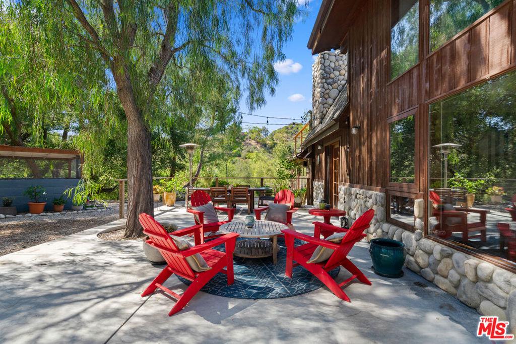
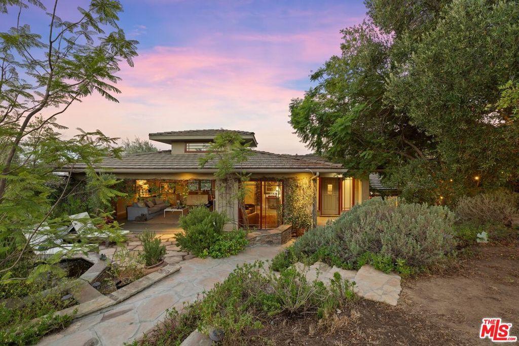
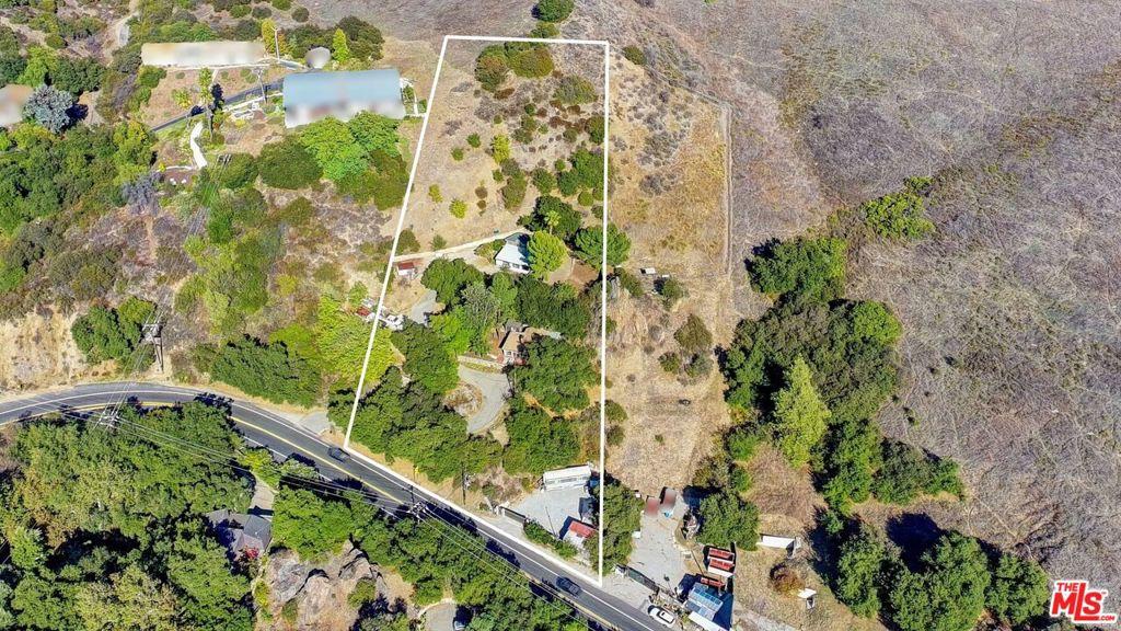
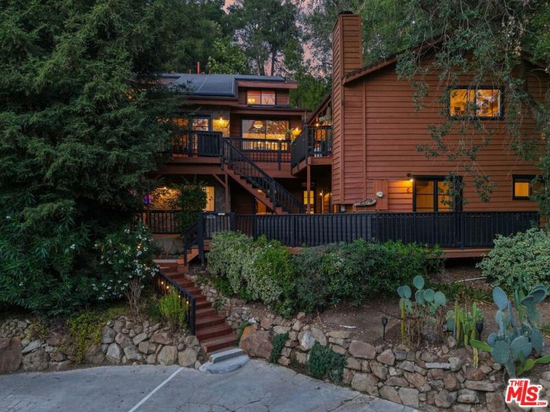
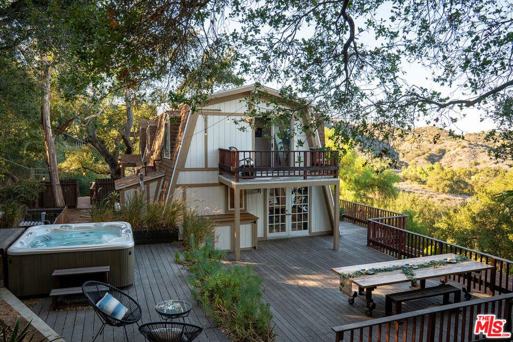
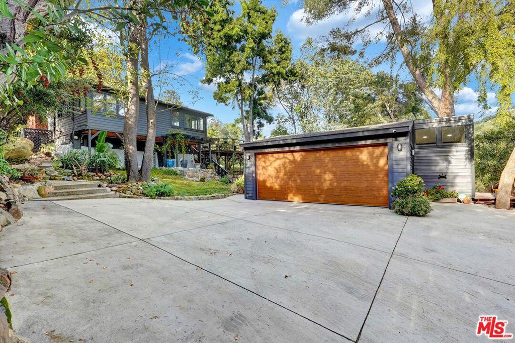
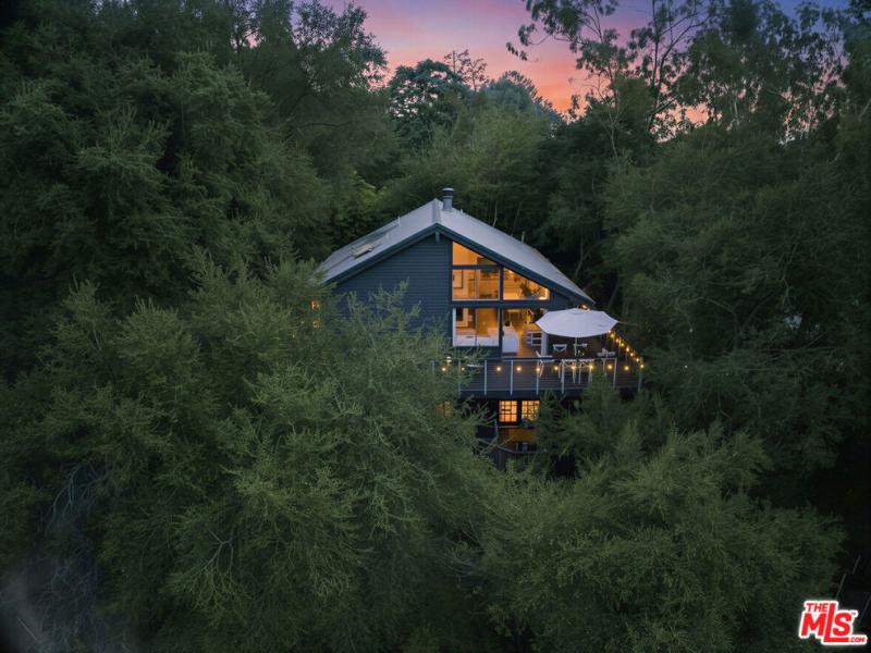
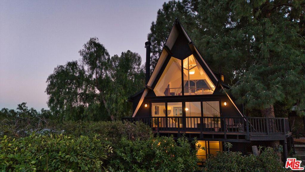
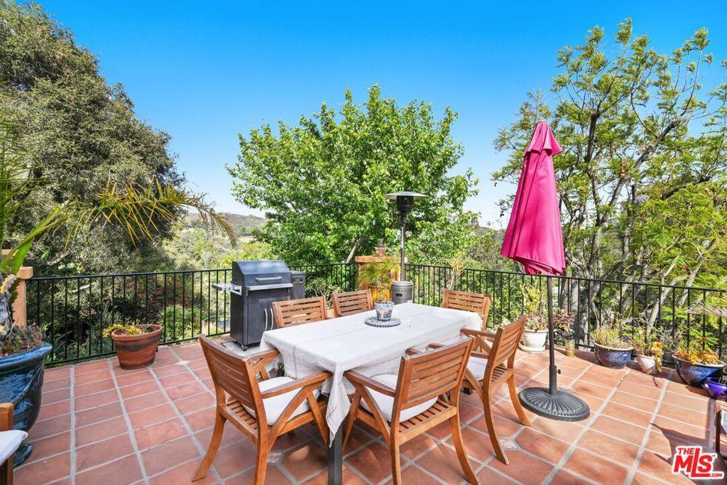
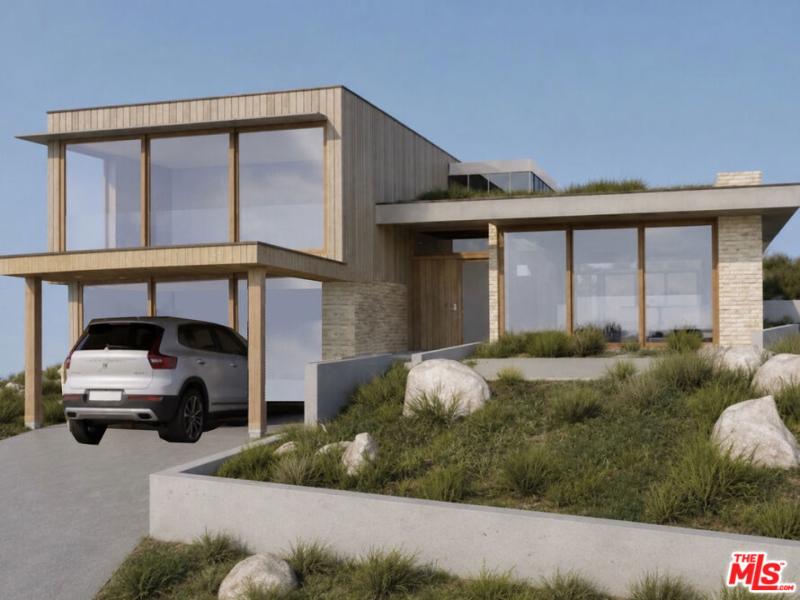
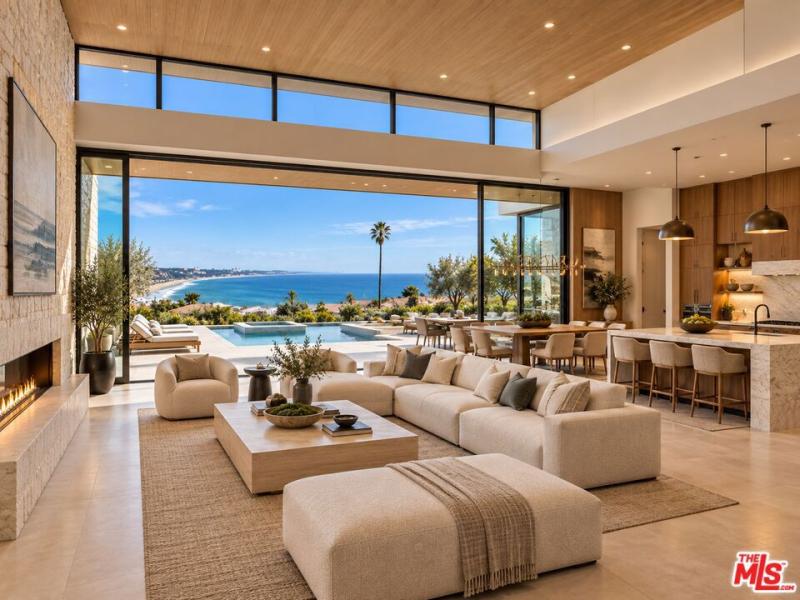
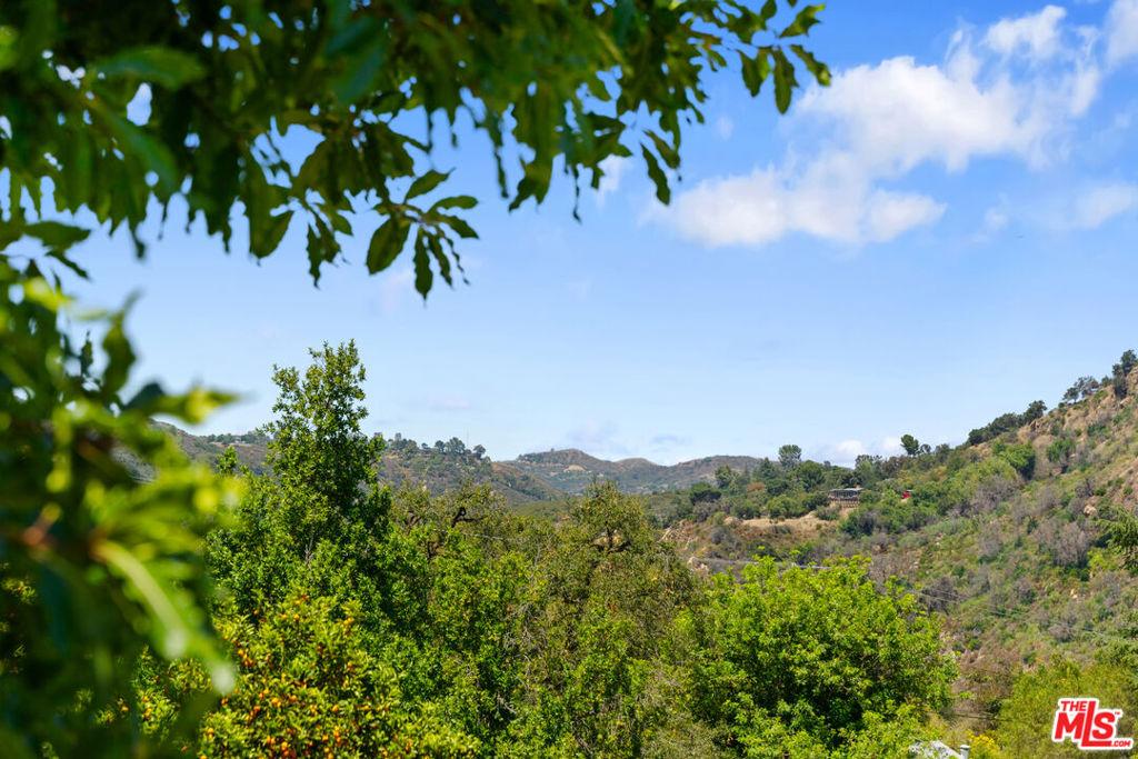
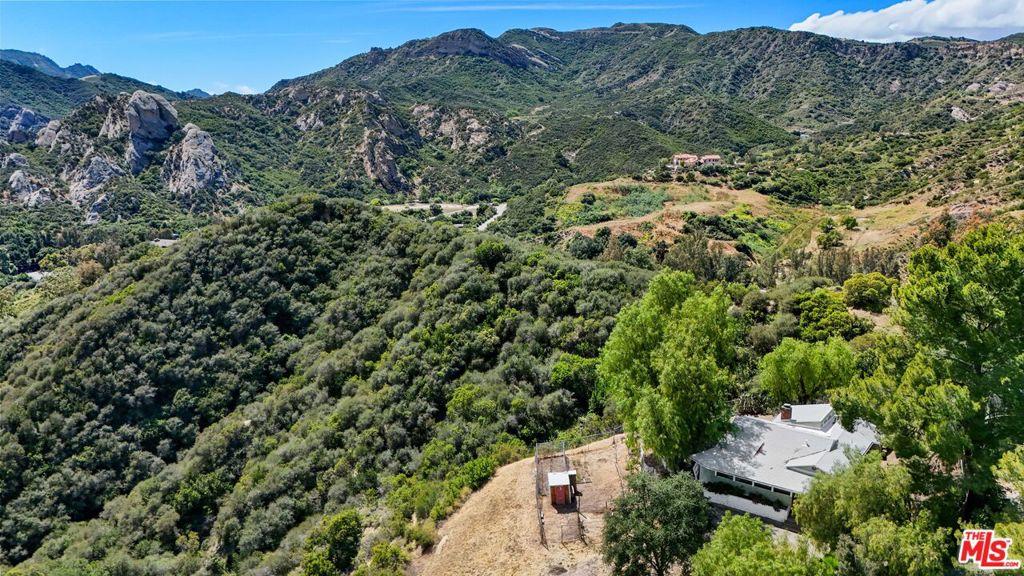
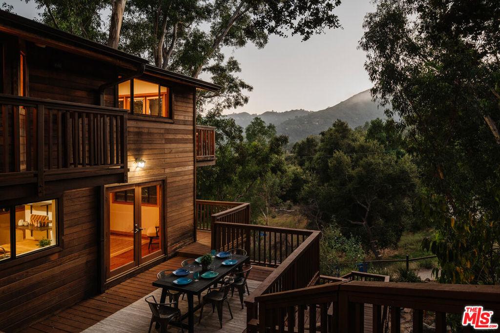
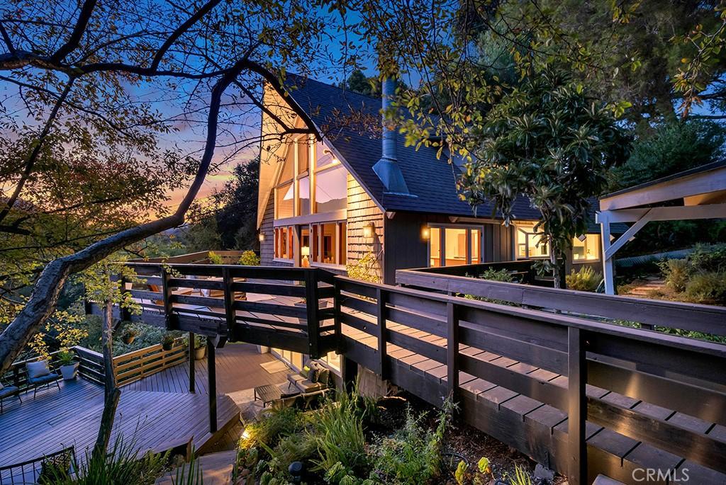
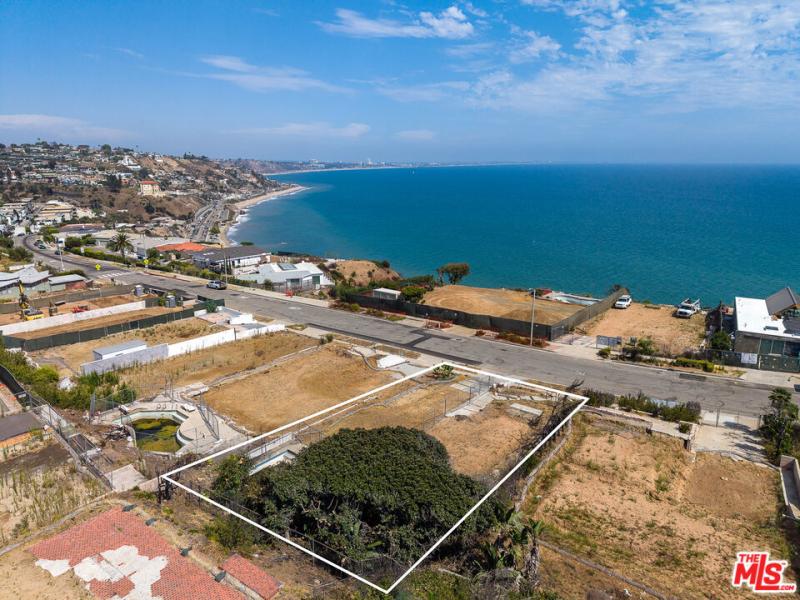
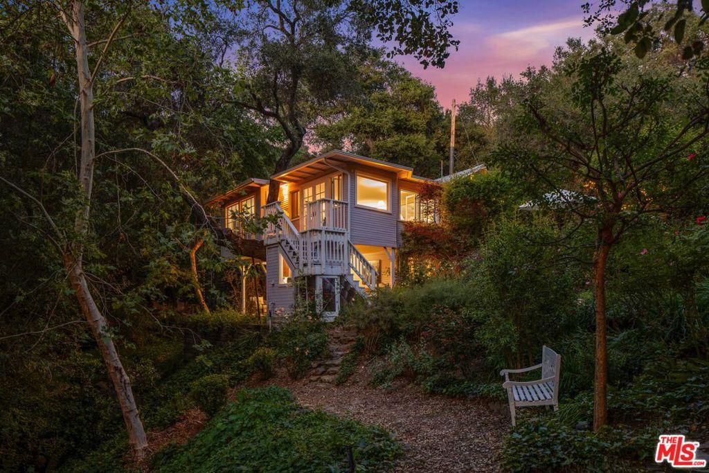
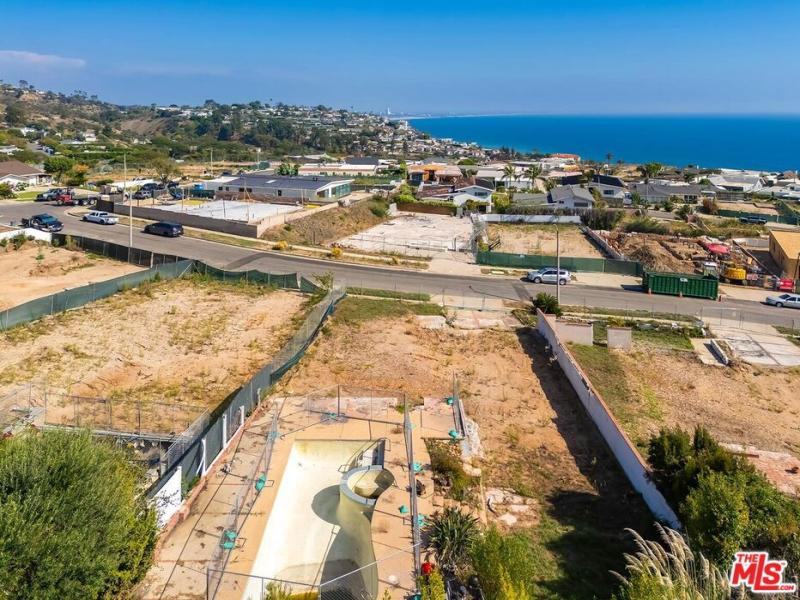
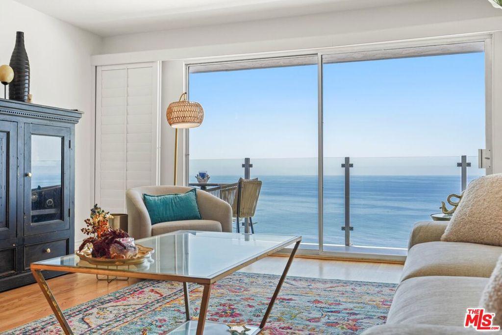
That range covers real differences. Topanga is canyon and mountain terrain, so what you get depends heavily on where a property sits: the grade of the lot, what the property looks out on, and how close it is to PCH and the Malibu coast. Ocean access is part of the appeal here, but you’re buying a mountain property first.
What to Weigh Before You Buy in the Canyon

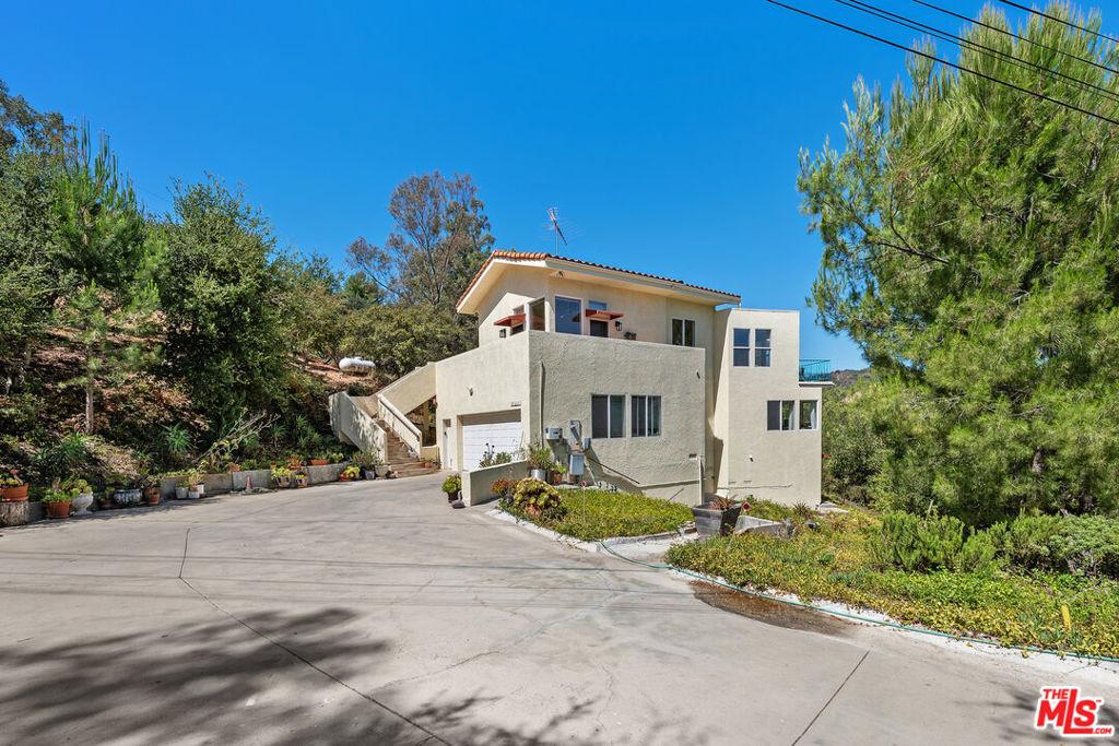
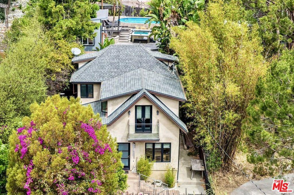
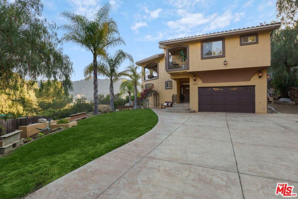
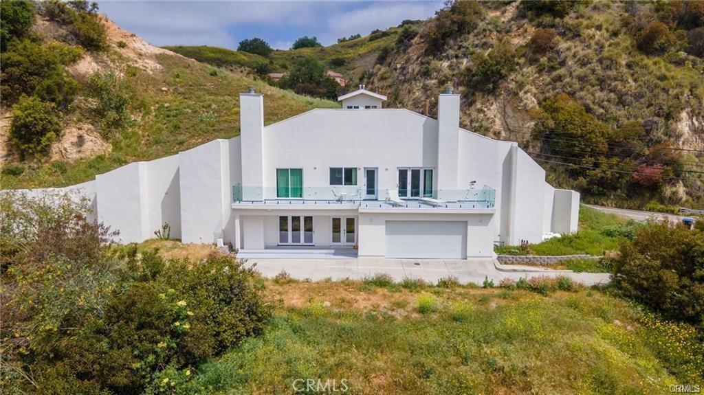
The spread in price across homes for sale in Topanga comes down to specifics rather than square footage alone. A house set on a steep slope lives differently from one on flatter ground, and access matters as much as the structure: how long the driveway is, how the road behaves in wet weather, and how many minutes it actually takes to reach Pacific Coast Highway. Two properties can look comparable in photos and still sit at opposite ends of that range.

The trade-off worth thinking through is what you want the daily experience to be. Buyers drawn by the coast should look hard at the properties closer to PCH and the Malibu side, where the drive down is short. Buyers who want the quiet and the creative, independent character the canyon is known for can go deeper in and get more privacy, usually for less. Decide which one you’re optimizing for before you start touring, because the terrain won’t let you have both.
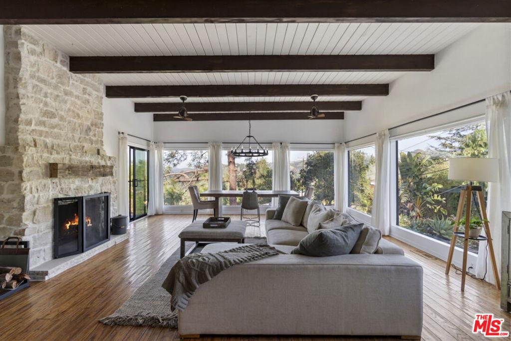
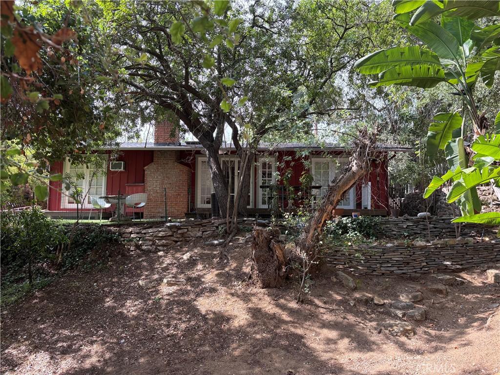
Topanga Homes for Sale in Westside Los Angeles Homes for Sale

Community

What is Topanga like?

Topanga is one of the Westside’s distinct residential communities, topanga is a canyon community in the santa monica mountains above pacific coast highway — one of los angeles’s most deliberately countercultural residential communities, where an arts, crafts, and bohemian community identity has been sustained since the 1960s in a natural setting of spectacular canyon and mountain terrain within a broader Westside geographic zone whose diversity — from Venice’s bohemian beachfront to Malibu’s celebrity canyon estates to the LMU-adjacent Westchester neighborhoods — creates meaningful lifestyle and value differences that require community-specific research by buyers considering this area of Los Angeles.

Los Angeles Unified School District serves most of the Westside’s residential communities for public K-12 education, with specific campus assignments depending on address location. Several LAUSD magnet programs concentrate on the Westside, including strong programs at Venice High School and the various schools serving Westchester. The Malibu section of Santa Monica-Malibu Unified School District provides an alternative; many Westside families use private school options given the LAUSD campus variability and the high professional demographic that the Westside’s price premium attracts. School assignments should be verified with LAUSD or the relevant school district for any specific address.

The 10 Freeway and 405 Freeway provide the Westside’s primary freeway access. The 10 connects to downtown LA and continues east to San Bernardino; the 405 connects north to the San Fernando Valley (via Sepulveda Pass) and south to the South Bay and Orange County. The C Line Metro provides rail transit from Santa Monica and Culver City to downtown LA; the D Line (Purple Line) extension under construction will connect Westwood and Century City to the Metro system within the next several years. Pacific Coast Highway provides coastal connectivity northward to Malibu and southward to Palos Verdes. Most Westside residents remain primarily car-dependent despite the improving transit infrastructure.

The Silicon Beach technology corridor, concentrated along Lincoln Boulevard and in the Venice and Santa Monica commercial zones, creates significant technology professional employment that is within cycling or walking distance of many Westside residential addresses. Google’s Playa Vista campus, Snap’s Santa Monica offices, and dozens of smaller tech companies provide employment that generates consistent residential demand from the technology worker demographic whose compensation levels can access Westside pricing. The convergence of technology employment, beach lifestyle, and creative cultural identity in the Westside corridor has produced one of the most consistently in-demand residential zones in the United States over the past decade.

Topanga: Counter-Culture Canyon Community Between the Valley and Malibu

Topanga is the most distinctively alternative residential community in the Los Angeles metropolitan area — the canyon community in the Santa Monica Mountains between the San Fernando Valley and Malibu whose counter-culture heritage (the 1960s commune and back-to-the-land community that established Topanga’s alternative identity), the artist colony, and the natural landscape of Topanga State Park create the semi-rural canyon character that sustains Topanga’s identity as “the canyon” — a community identity that the residents who have chosen the deliberate inconvenience of the winding Topanga Canyon Boulevard as their daily route specifically value. The Topanga Community House (the community’s social center), the Old Topanga Canyon Road, and the local businesses that serve the year-round canyon population without chain retail intrusion create the small-community commercial character that sustains Topanga’s artisanal, community-focused identity.

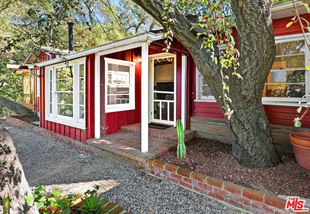
Topanga’s residential market reflects the canyon lifestyle premium that the semi-rural natural setting, the creek-side properties, and the community identity create — the homes ranging from the modest canyon cottages at $1.2M to the architectural estates at $3M-$8M+ create the price spectrum within a community that buyers choose specifically for the counter-mainstream residential identity alongside the Pacific and Valley access that Topanga Canyon Boulevard provides.

Topanga Real Estate: Canyon Pricing and the Alternative Community Premium

Topanga’s residential market has appreciated considerably in the post-2020 period as the remote-work flexibility that the pandemic established allowed the buyers who previously could not justify Topanga’s commute disadvantage to access the canyon lifestyle they valued without the daily commute penalty. The canyon’s appeal for the remote-work buyer — the natural landscape, the alternative community identity, the creek-side residential character, and the Topanga State Park’s trail access from many residential properties — creates the specific lifestyle quality that buyers who can work from home specifically target as their primary residential selection criterion. The appreciation trajectory has been substantial: Topanga median home prices approximately doubled between 2019 and 2024 as the remote-work buyer pool expanded the demand for the canyon lifestyle that was previously limited to buyers whose employment was in the western SFV or Malibu-Pacific Palisades corridor. The canyon’s fire risk (Topanga is within the Very High Fire Hazard Severity Zone designated by CAL FIRE) and the insurance challenges that the California property insurance crisis has created for hillside and canyon properties are the primary risk factors that Topanga buyers must evaluate alongside the lifestyle appeal that the canyon’s unique character creates.

How bad is fire insurance in Topanga?

Topanga Canyon’s Very High Fire Hazard Severity Zone designation has made the property insurance market for canyon homes one of the most challenging in California. Major insurers have withdrawn from the market; the California FAIR Plan and a small number of specialty insurers serve the canyon residential market at premiums significantly above the standard market rates that similar-square-footage properties in lower-risk locations carry. Buyers of Topanga properties should obtain insurance quotes before entering escrow and should budget for the higher ongoing insurance cost as a component of the total ownership cost that the canyon lifestyle premium requires.

Who lives in Topanga Homes and what is the community like?

  • Topanga Homes occupy a canyon community in the Santa Monica Mountains above Pacific Coast Highway, between the San Fernando Valley and Malibu.
  • Topanga stands as one of Los Angeles’s most deliberately countercultural residential communities, with an arts, crafts, and bohemian identity sustained for decades.
  • Counter-culture heritage from the commune and back-to-the-land community established the alternative identity that still defines Topanga’s residential character today.
  • Artist colony roots and the natural landscape of Topanga State Park create the semi-rural canyon character residents describe simply as the canyon.
  • Residents choosing Topanga Homes specifically value the deliberate inconvenience of winding Topanga Canyon Boulevard as their daily route.
  • Topanga Community House serves as the community’s social center alongside Old Topanga Canyon Road and the surrounding canyon landscape.
  • Local businesses serve the year-round canyon population without chain retail intrusion, sustaining an artisanal, community-focused commercial character.
  • Canyon lifestyle premium in Topanga reflects the semi-rural natural setting, creek-side properties, and the shared community identity buyers seek.
  • Los Angeles Unified School District serves most Westside residential communities for public education, with campus assignments depending on address location.
  • Magnet programs concentrate on the Westside, and many families use private school options given campus variability and the high professional demographic.
  • Freeway access comes from the Santa Monica Freeway toward downtown and the San Diego Freeway linking the San Fernando Valley to the South Bay.
  • Silicon Beach employment along Lincoln Boulevard and in the Venice and Santa Monica commercial zones generates consistent residential demand from technology workers.

Area Details

What makes Topanga special?

The Santa Monica Mountains provide the Westside’s most significant natural resource — a mountain range running through the center of the metropolitan area from Griffith Park to Point Mugu, providing trail access, open space, and the visual natural backdrop that distinguishes the Westside’s residential environment from the flat urban landscape east of the mountains. Topanga State Park, Malibu Creek State Park, and the Backbone Trail provide trail networks that active Westside residents use for hiking, mountain biking, and trail running without leaving the urban area. For residents of canyon communities like Topanga and Malibu’s Malibu Canyon or Latigo Canyon roads, the mountains are literally their backyard rather than a destination requiring a drive.

Venice’s boardwalk, canals, and Abbot Kinney Boulevard provide the cultural heart of the Westside’s creative economy — a neighborhood whose bohemian roots in the early twentieth century have evolved through multiple cultural cycles to sustain its identity as the most artistically and commercially vibrant beach neighborhood in the western United States. Abbot Kinney Boulevard’s restaurant and boutique concentration, the Venice canals’ residential character, and the boardwalk’s perpetual street performance culture create a neighborhood identity that cannot be replicated in the suburban residential alternatives that the Los Angeles basin offers at comparable price points. Venice is genuinely one of the most distinctive urban residential environments in the United States — a place whose cultural specificity has sustained its identity through gentrification pressures that have transformed most of the neighborhoods around it.

The Westside’s freeway access — the 10 Freeway (Santa Monica Freeway) and the 405 Freeway — connects the region to downtown Los Angeles, the South Bay, and the San Fernando Valley. The 1 (Pacific Coast Highway) provides coastal connectivity from Malibu through Santa Monica to the South Bay. The C Line (formerly Expo Line) Metro provides rail transit from Santa Monica and Culver City to downtown LA, with the D Line (Purple Line) extension under construction to connect Westwood and Century City to the broader Metro system. The Westside’s transit infrastructure, while improving, remains car-dependent for most residents’ daily travel needs.

What is the setting around Topanga Homes like?

  • Topanga Homes sit within the Santa Monica Mountains, the Westside’s most significant natural resource and the visual backdrop distinguishing coastal Los Angeles from the flat urban landscape inland.
  • Santa Monica Mountains run through the center of the metropolitan area from Griffith Park to Point Mugu, providing trail access and open space throughout.
  • Topanga State Park, Malibu Creek State Park, and the Backbone Trail supply trail networks used for hiking, mountain biking, and trail running without leaving the urban area.
  • Canyon communities such as Topanga treat the mountains as a literal backyard rather than a destination requiring a drive to reach.
  • Buyers looking at Topanga Homes gain proximity to the open space that active Westside residents rely on for daily outdoor recreation.
  • Venice contributes the cultural heart of the Westside’s creative economy through its boardwalk, canals, and Abbot Kinney Boulevard.
  • Abbot Kinney Boulevard concentrates restaurants and boutiques that anchor the most artistically and commercially vibrant beach neighborhood in the western United States.
  • Venice canals carry a residential character while the boardwalk sustains a perpetual street performance culture unavailable in suburban Los Angeles basin alternatives.
  • Freeway access across the Westside comes from the Santa Monica Freeway and the San Diego Freeway, connecting downtown Los Angeles, the South Bay, and the San Fernando Valley.
  • Pacific Coast Highway provides coastal connectivity running from Malibu through Santa Monica and onward to the South Bay.
  • Metro rail service on the C Line, formerly the Expo Line, links Santa Monica and Culver City to downtown Los Angeles for Westside commuters.
  • Transit infrastructure serving Topanga Homes and the wider Westside continues improving, though most residents remain car-dependent for daily travel needs.

What is the price range in Topanga?

Topanga’s 2026 median home price of approximately $1.5 to $2.5 million reflects the natural canyon setting, the community’s artistic and countercultural identity, and the PCH and Malibu proximity that gives Topanga residents ocean access alongside their mountain residential environment. Current specific pricing data for Topanga is available from The Knight Group. The Westside’s price range is among the broadest in the Los Angeles metropolitan area — Venice condominiums start below $1 million while Malibu oceanfront estates can exceed $50 million — making community-specific pricing information essential for any buyer evaluation.

What school district serves Topanga?

Most Westside communities are served by Los Angeles Unified School District, with Malibu served by Santa Monica-Malibu Unified. LAUSD campus quality varies significantly across the Westside; specific campus assignments and their performance data should be researched for any address under consideration. Many Westside families use private schools given the LAUSD variability and the high professional demographic that supports private school enrollment across the region.

Is the Westside accessible by public transit?

The Westside’s transit accessibility has improved with the C Line (formerly Expo Line) Metro extension to Santa Monica, and will improve further when the D Line (Purple Line) extension reaches Westwood and Century City. Current transit options include the C Line, multiple Big Blue Bus routes, and LADOT service. Most Westside residents still commute by car for most trips. For residents whose work destinations are on the C Line corridor (downtown LA, USC, Culver City), the Metro provides a viable car-free commute option.

What is the Topanga lifestyle like and is it practical for commuters?

The Topanga lifestyle is genuinely distinctive — the canyon’s winding two-lane road, the lack of reliable cell service in the deeper canyon sections, the risk of road closures during fire events (Topanga Canyon Boulevard’s single-access character creates the evacuation challenge that the 2018 Woolsey Fire made dramatically apparent), and the distance from urban commercial infrastructure create the practical trade-offs that Topanga’s semi-rural semi-remote character requires. Residents who choose Topanga consciously accept these trade-offs for the natural landscape immersion (Topanga State Park’s trails accessible from residential properties), the creek character, the community identity, and the specific quality of life that the alternative community’s social culture sustains. Commuting from Topanga is practical to the western San Fernando Valley (Calabasas, Agoura Hills) via Topanga Canyon Boulevard to the 101; to Malibu and Pacific Palisades via Topanga Canyon Road to PCH; and to the Westside via the winding canyon descent to Pacific Palisades and the 10 or PCH — all manageable but without the freeway-speed efficiency that the flat suburban commute provides.

Embarking on a property search akin to a treasure hunt, each click unravels the tapestry of possibilities. The search isn’t just a mere quest; it’s a personalized journey through architectural narratives, neighborhood nuances, and the pulse of a city’s heartbeat. Every keystroke reveals a spectrum of homes, each with its own story waiting to be discovered. It’s not merely a search; it’s a curated exploration of lifestyles and possibilities, guided by the rhythm of one’s aspirations. Let your curiosity run wild as you explore these similar custom searches.

GetAlerts

Signup for email alerts when properties match your interest!