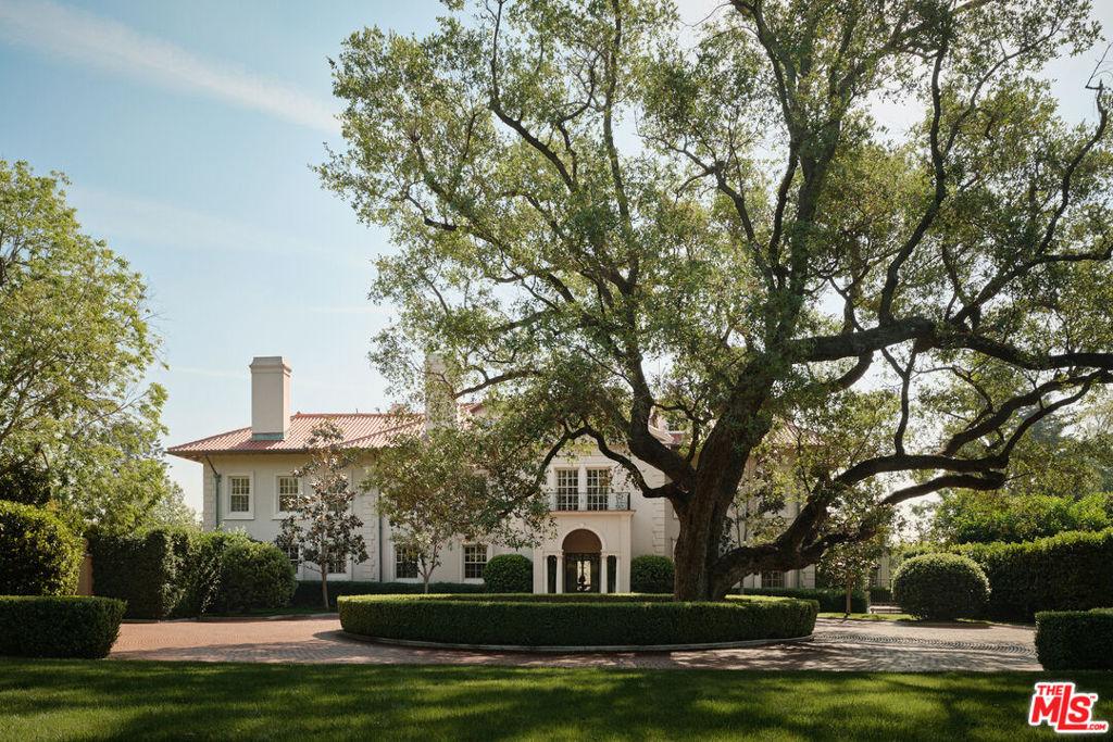
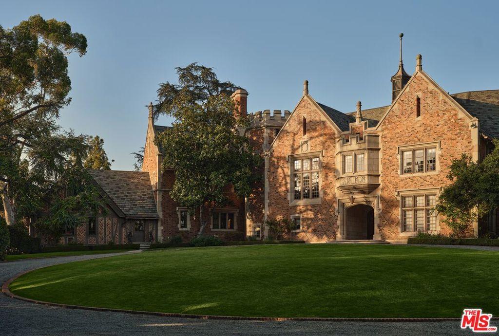
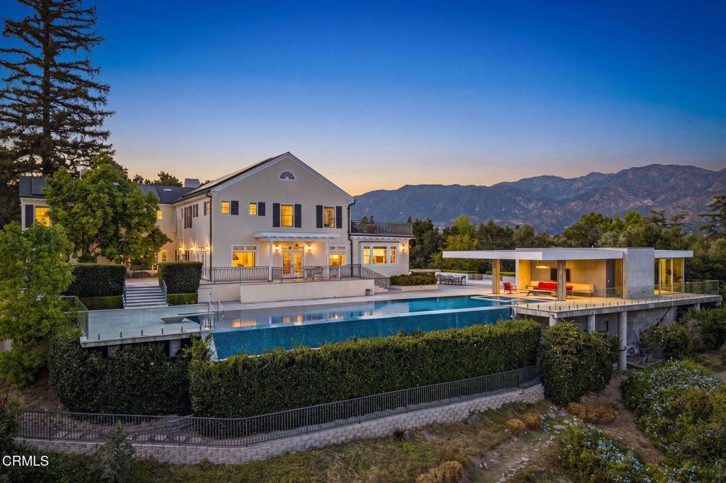
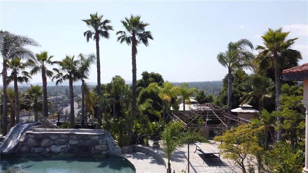
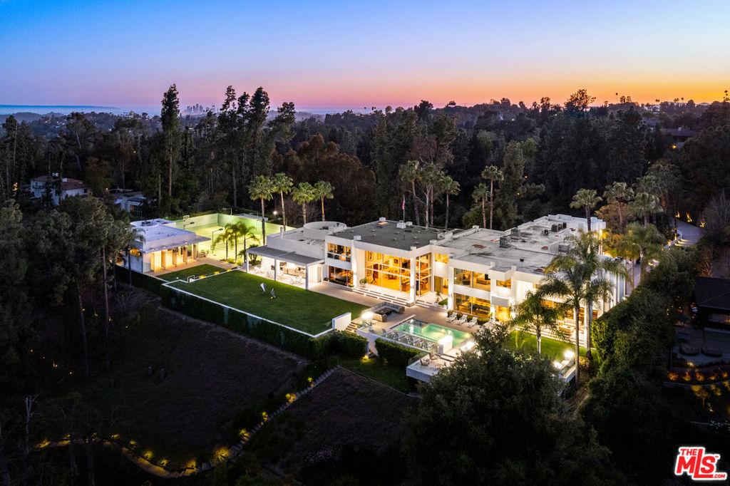
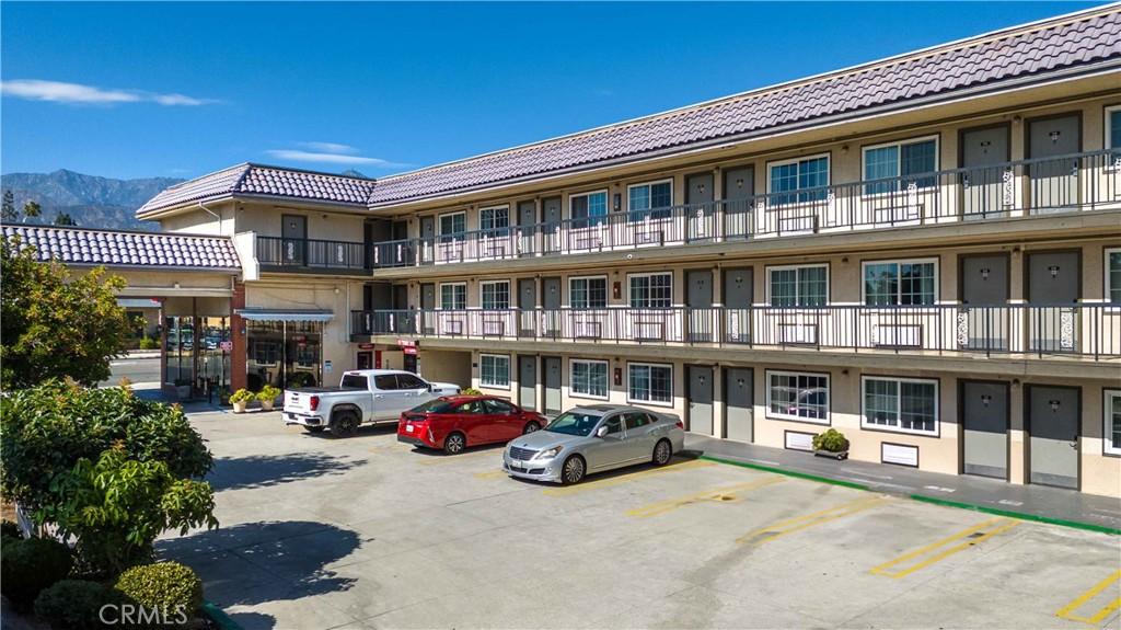
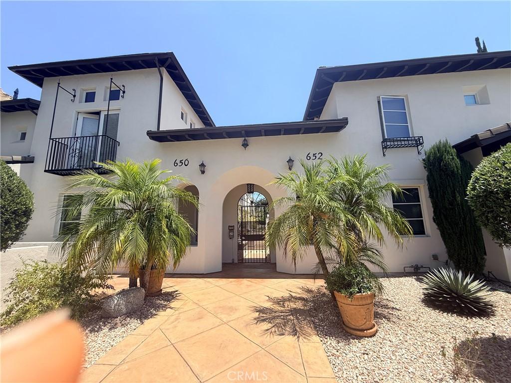
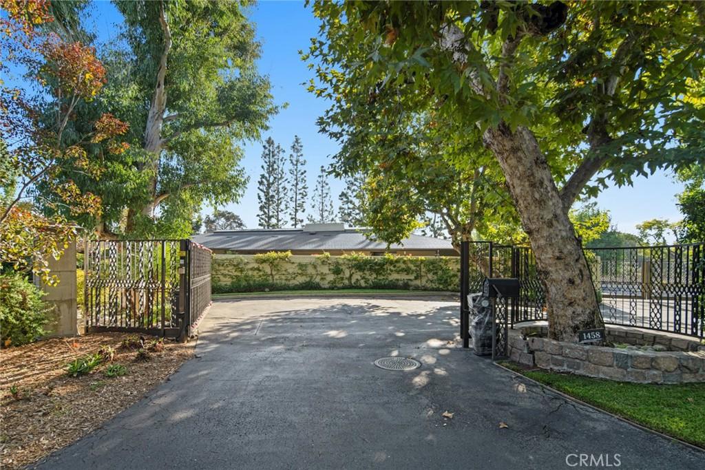
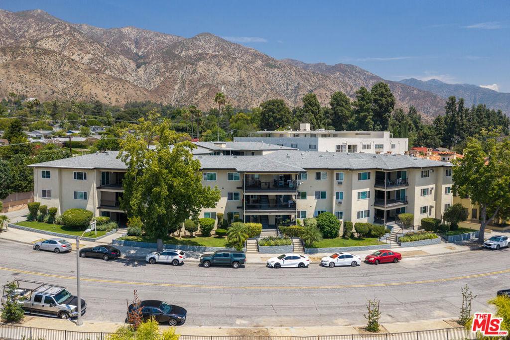
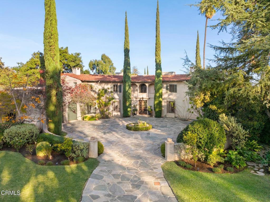
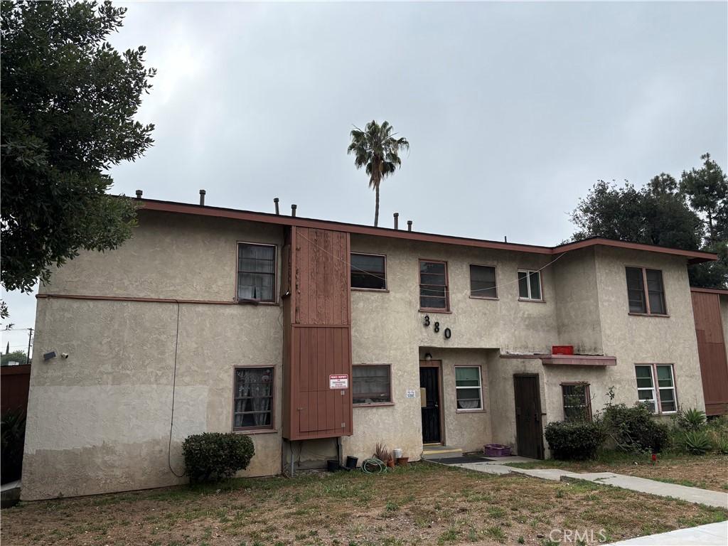
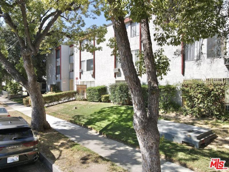
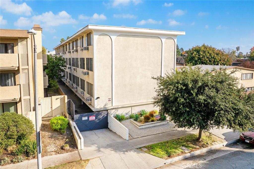
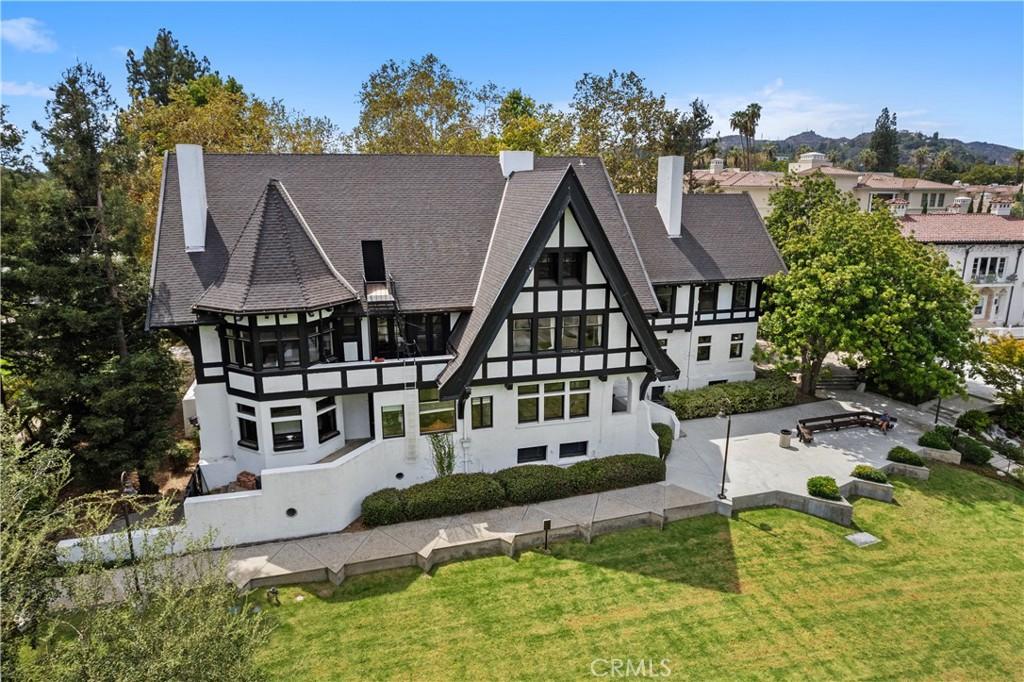
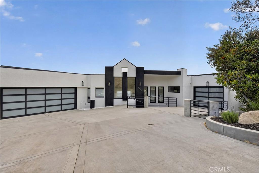
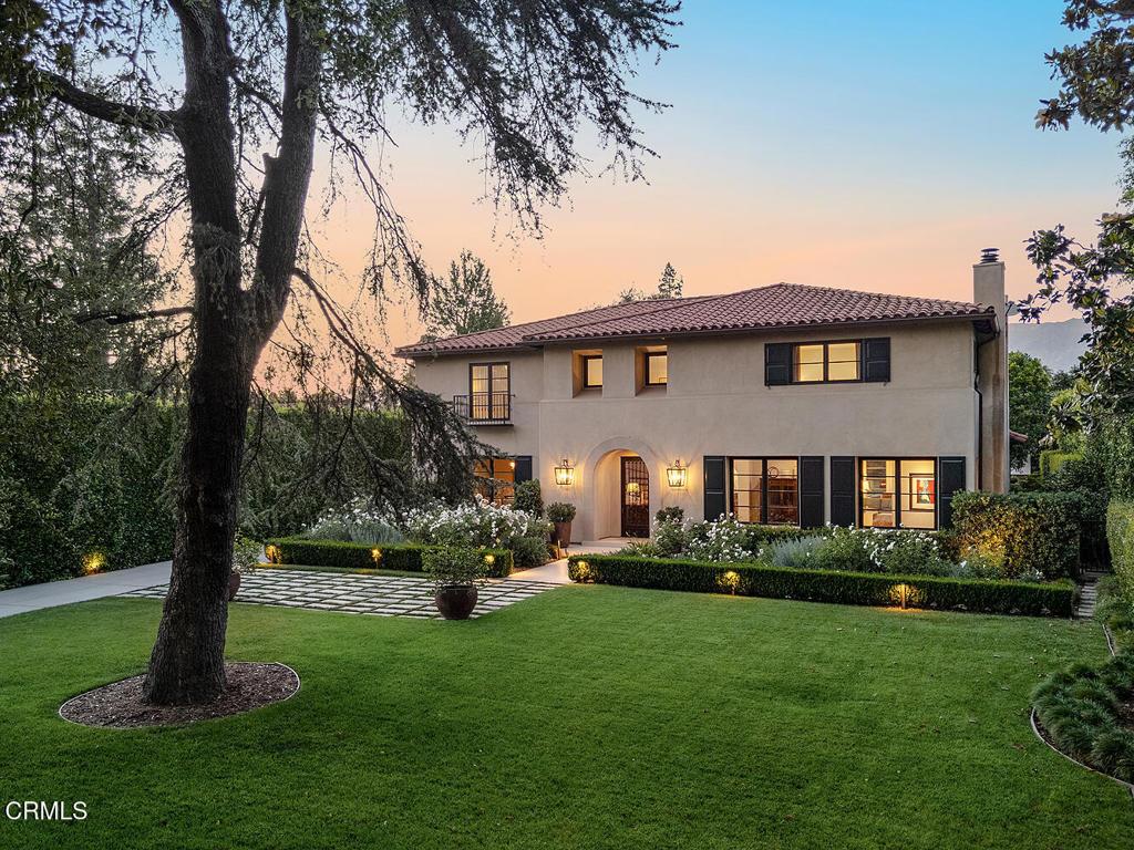
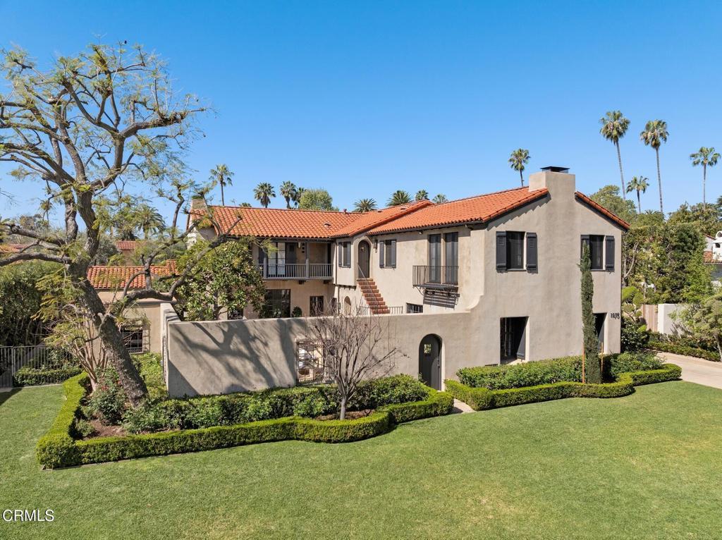
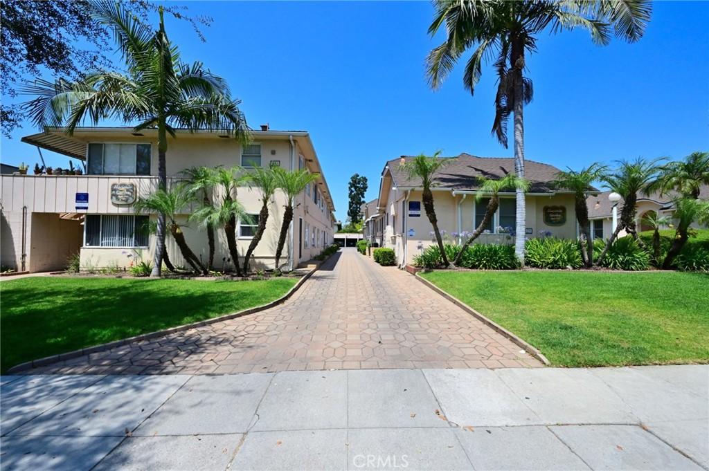
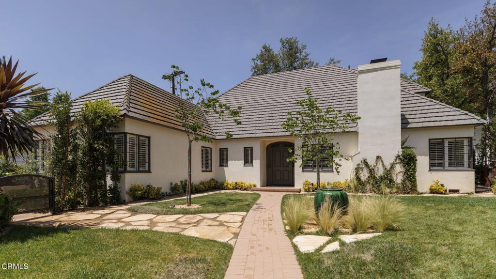
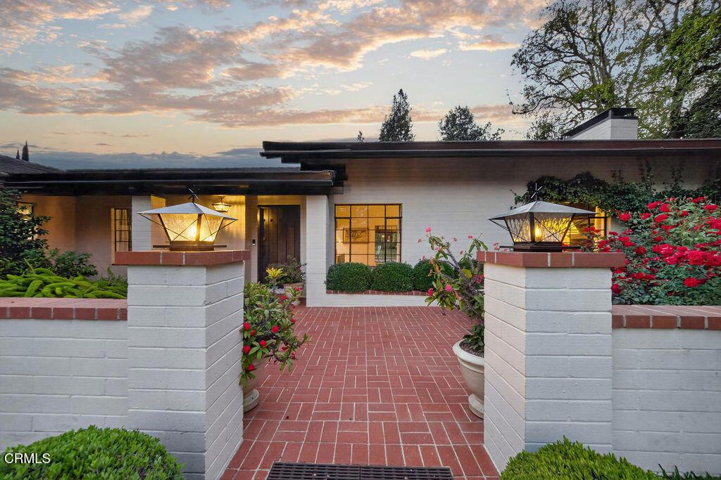
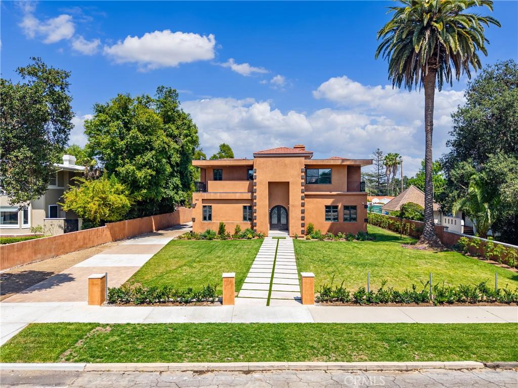
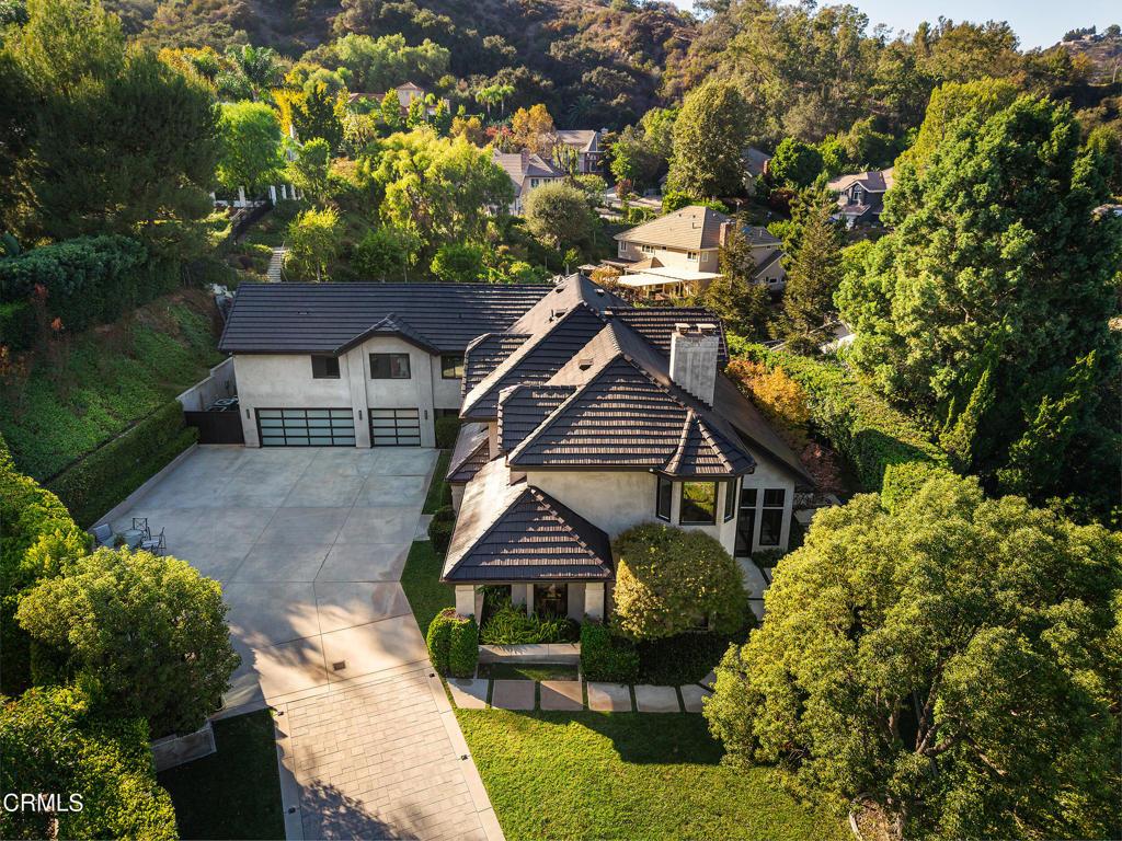
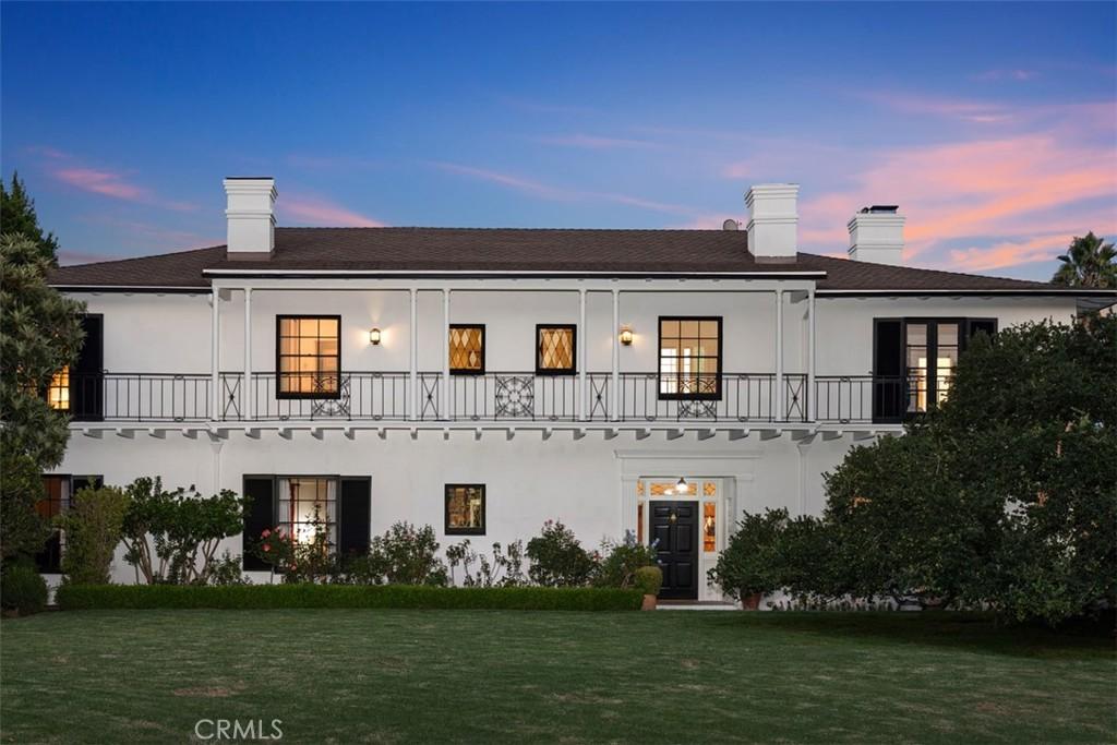
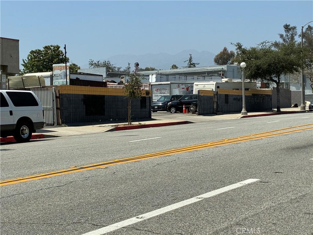
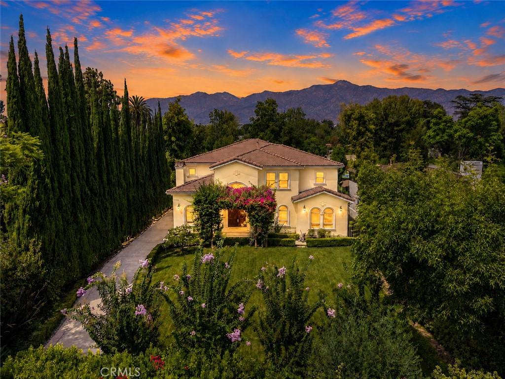
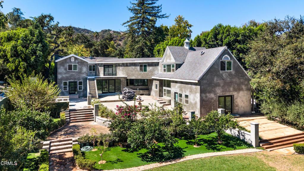
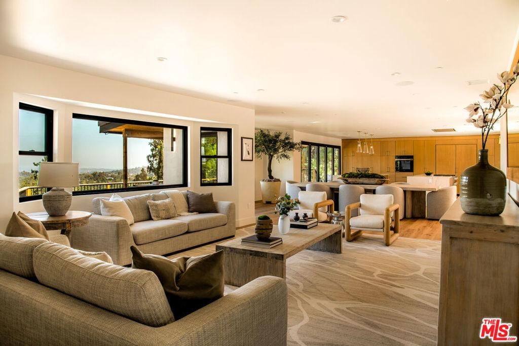
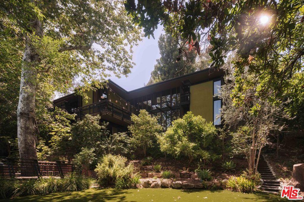
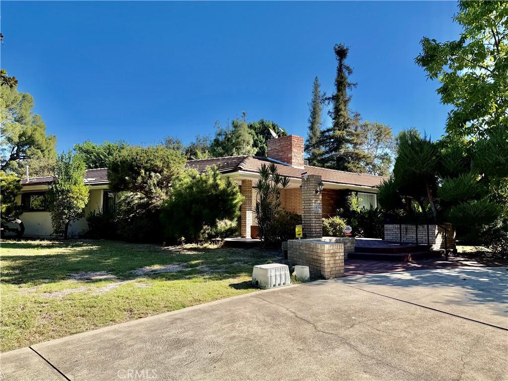
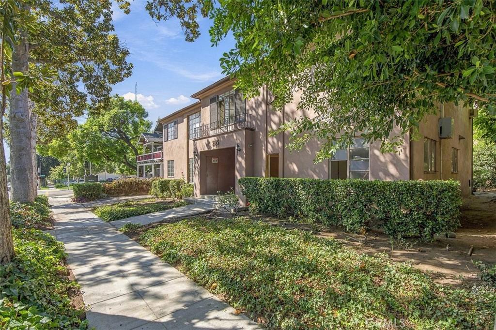
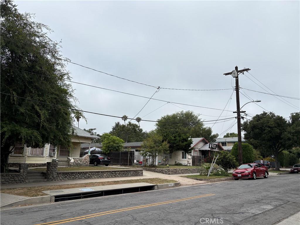
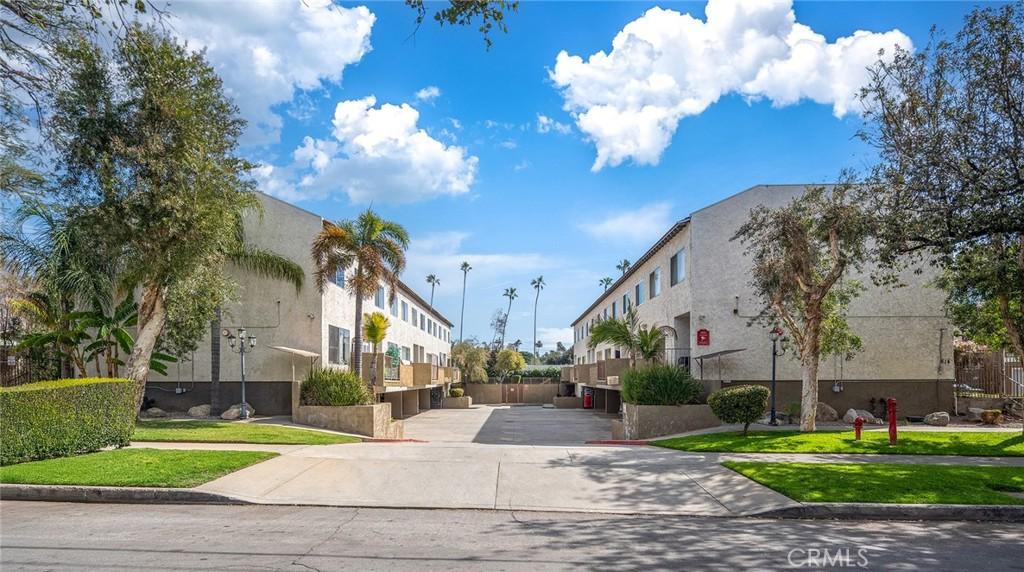
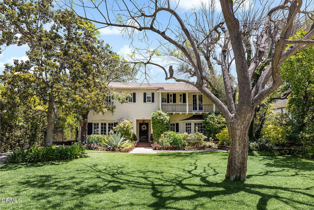
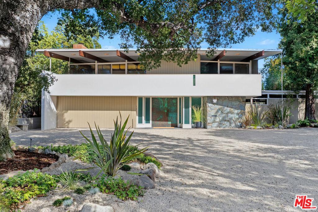
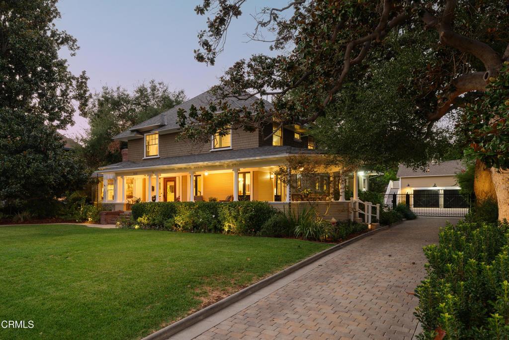
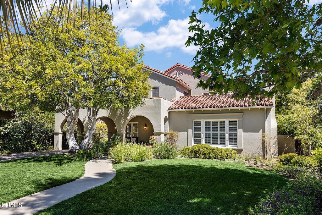
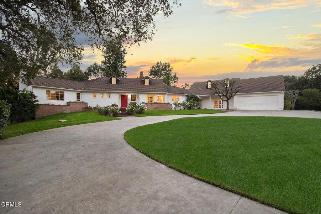
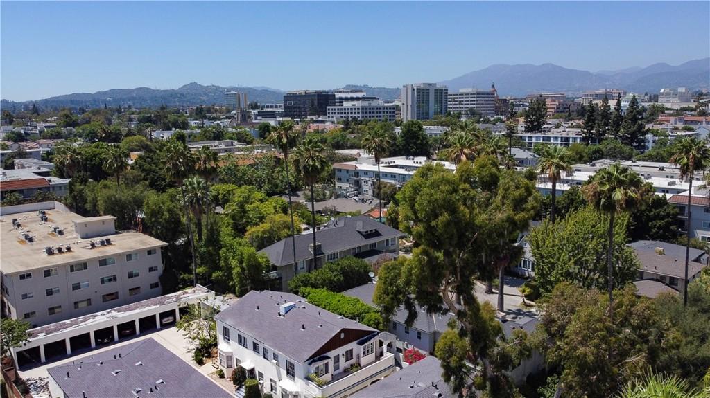
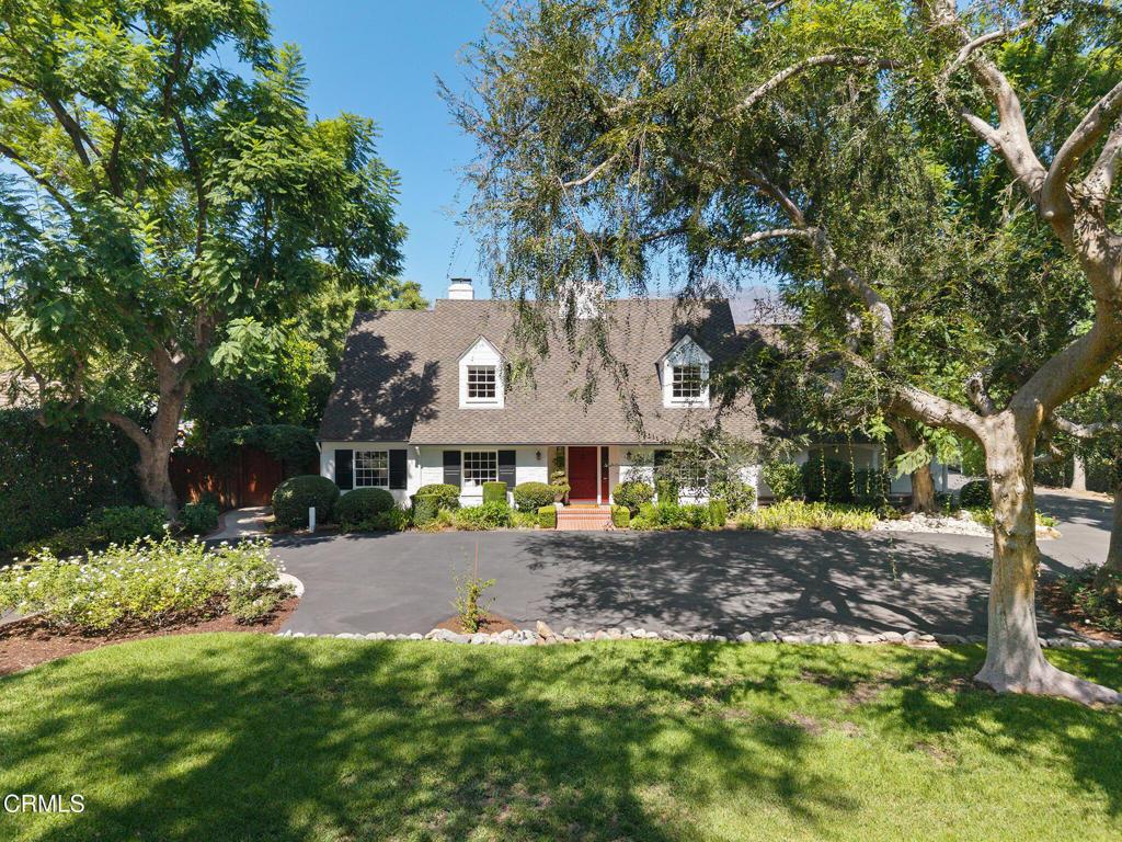
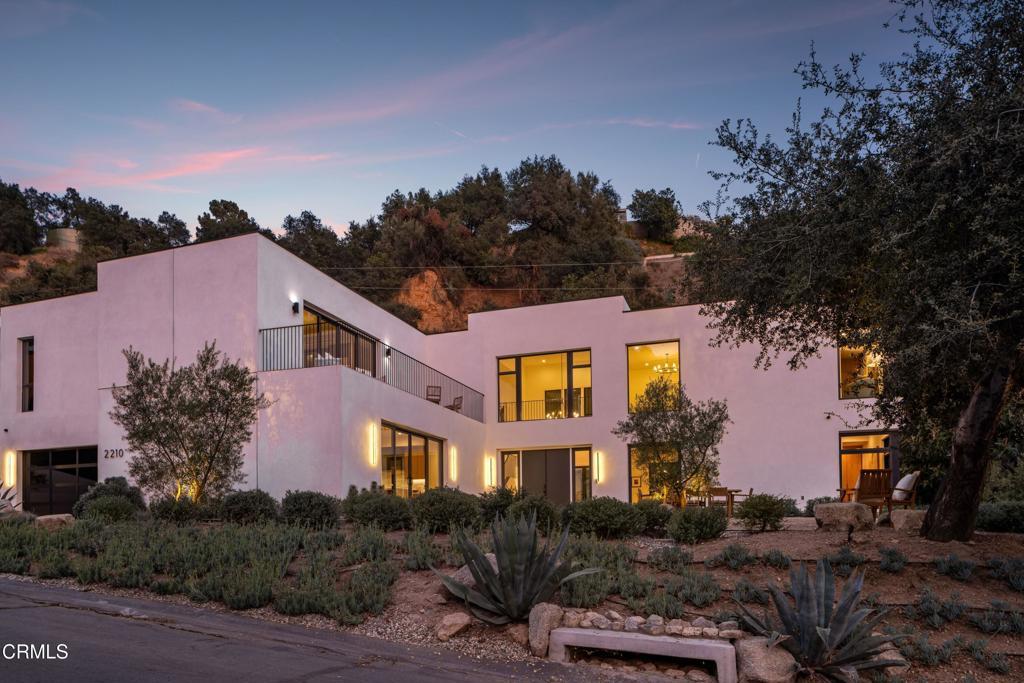
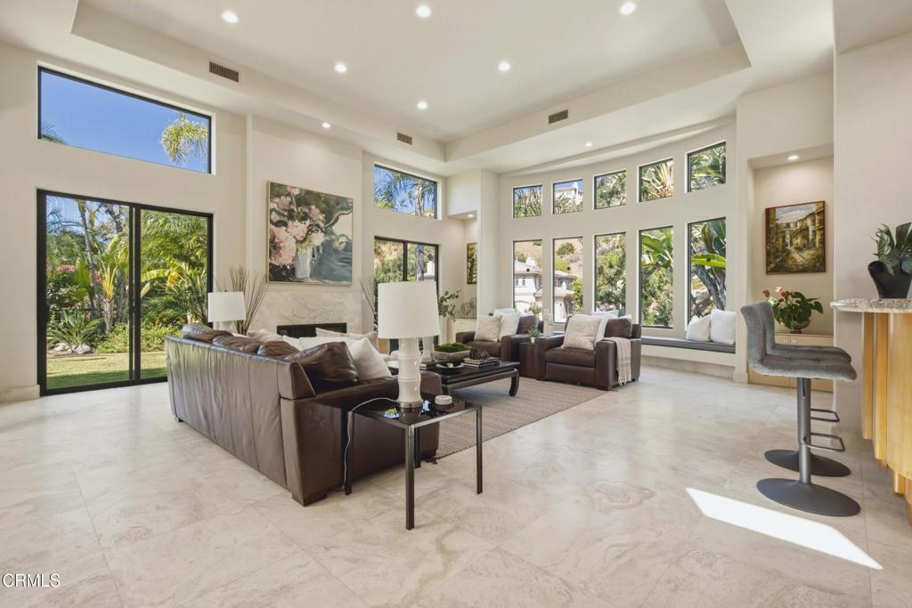
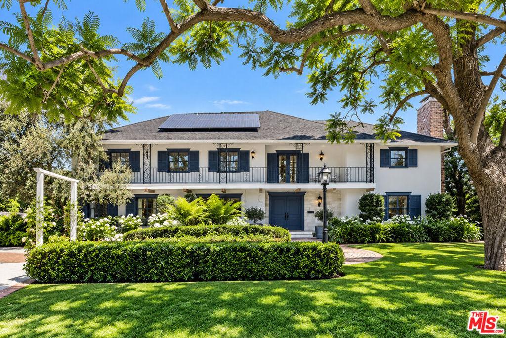
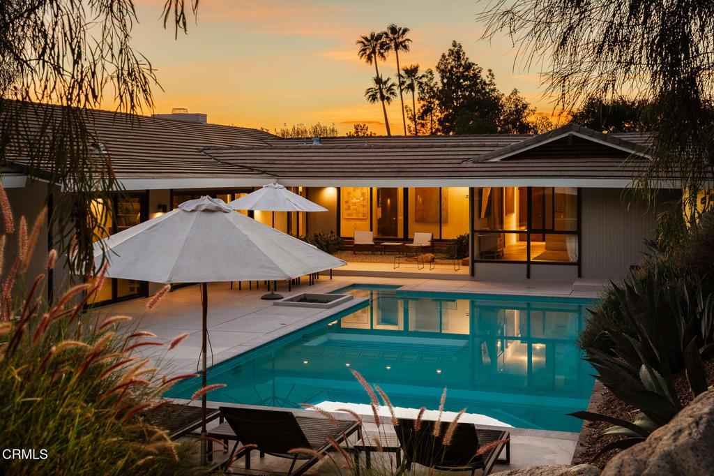
The housing stock in Orange Heights reflects south Pasadena’s development from the early through the mid-20th century, with Craftsman bungalows, Colonial Revival homes, and Spanish Colonial residences appearing on the residential blocks. The south Pasadena location and the neighborhood’s development history produce a more formally residential character than north Pasadena areas of comparable vintage, reflecting the historical preference of early Pasadena buyers for the quieter southern half of the city. Well-maintained period homes on tree-lined streets are the defining image of the Orange Heights residential environment.
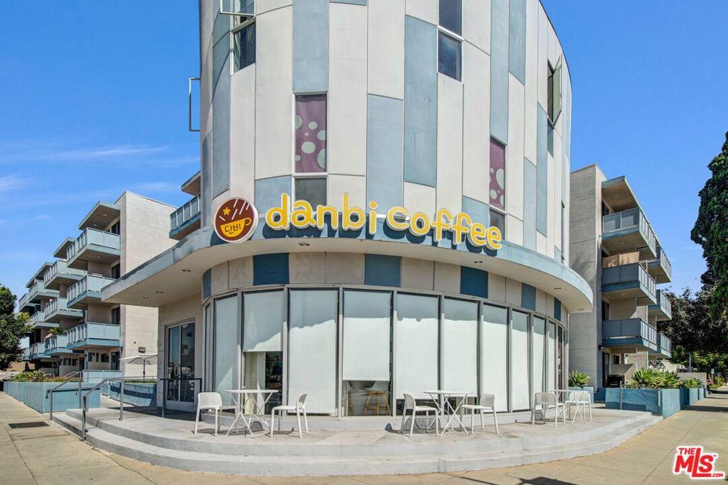
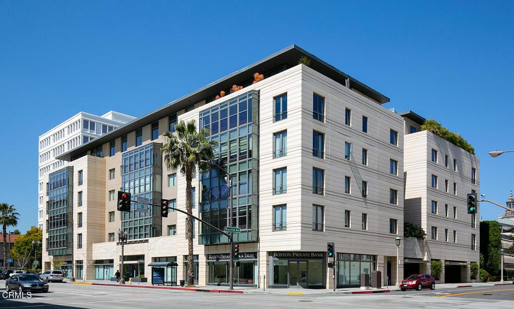
South Lake Avenue is the primary commercial corridor for south Pasadena neighborhoods including Orange Heights, carrying an eclectic mix of restaurants, national retail anchors, independent shops, and services that serve the surrounding residential population. Whole Foods, Trader Joe’s, and Apple anchor the major retail, while a concentration of independent restaurants and coffee shops on the avenue and the surrounding side streets makes South Lake one of the most pedestrian-active commercial areas in Pasadena outside of Old Town.
The proximity to San Marino brings the quieter atmosphere of the adjacent city’s residential fabric without the San Marino property premium. San Marino Unified School District assignments require a San Marino city address; Orange Heights properties fall within PUSD regardless of proximity to the border. Buyers for whom San Marino USD is a specific priority should evaluate San Marino addresses directly.
Pasadena citywide runs a median sale price around $1,250,000, up 3.7% year-over-year, $791 per square foot down 0.5% year-over-year, median list price $1,170,000 at $769 per square foot, 240 homes on market, 83 sold, 48 days on market, 103.9% sale-to-list ratio, 1 average offer, and 39.7% average down payment. Orange Heights homes price in the upper-mid range for south Pasadena, reflecting the San Marino-adjacent location and South Lake Avenue proximity. The neighborhood consistently prices above north Pasadena residential comparables and below San Marino, positioning it as a middle-market access point to south Pasadena’s residential environment.
Schools fall within Pasadena Unified School District. McKinley Elementary and other south Pasadena schools serve the area. Private school alternatives in the south Pasadena and San Marino area provide additional K-12 options for buyers who want superior school quality without the San Marino property premium.
Orange Heights is a residential neighborhood in north-central Pasadena, positioned in the area north of the East Orange Grove Boulevard corridor and south of the 210 Freeway. The “Heights” designation reflects the north Pasadena residential development pattern of naming neighborhoods for their elevated positions above the valley floor, and the Orange Heights area shares the general characteristics of the north-central Pasadena residential market: established single-family homes from the pre-war and post-war development eras, mature street tree canopy, and residential streets that have maintained their residential character through multiple market cycles. The neighborhood name combines the “Orange” designation common in the northern Pasadena area (reflecting the historic orange grove heritage of the San Gabriel Valley) with the “Heights” designation that signals an elevated residential position.
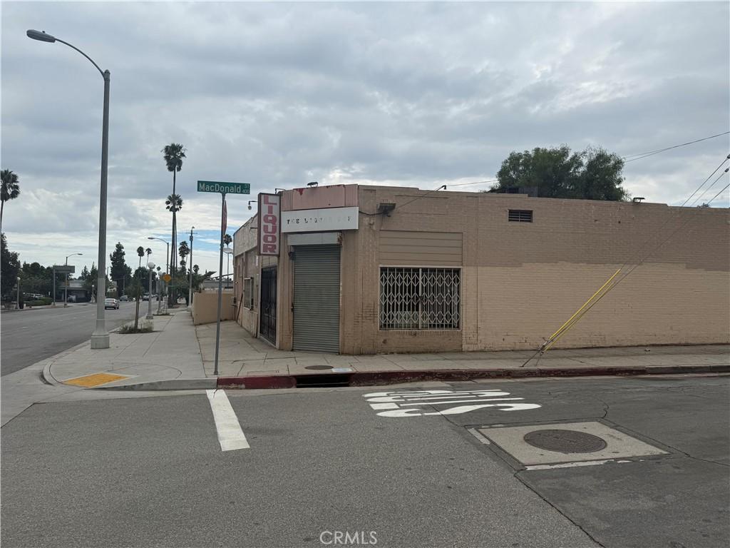
The East Orange Grove Boulevard runs as a major arterial through the central portion of the Pasadena residential grid, carrying traffic between the western 110 Freeway terminus area and the eastern 210 interchange at Rosemead Boulevard. For Orange Heights residents, East Orange Grove Boulevard is both a commercial corridor with neighborhood-serving businesses and a significant traffic arterial whose noise and activity affect properties closest to the corridor. The residential streets set back from East Orange Grove Boulevard maintain more conventional residential quiet, while the properties directly fronting the boulevard experience the traffic character typical of a major urban arterial. Buyers of Orange Heights properties should assess the specific address’s relationship to East Orange Grove Boulevard’s traffic environment when evaluating the residential character of any target property.
The commercial access for Orange Heights residents draws from both the north Pasadena commercial infrastructure (Fair Oaks Avenue, Lincoln Avenue) and the central Pasadena commercial corridors (Colorado Boulevard, South Lake Avenue) that are accessible by car in 10-20 minutes depending on the direction. The Fair Oaks Avenue Trader Joe’s is the most-cited grocery option for north-central Pasadena residents, and the Playhouse District restaurants along East Colorado Boulevard are a practical dining destination for Orange Heights residents who want the range of Pasadena’s restaurant market without driving to Old Pasadena. The central-to-north position of Orange Heights provides reasonable access to both the north Pasadena commercial infrastructure and the more diverse central Pasadena commercial offerings.
The 210 Freeway is accessible from Orange Heights via the Lake Avenue and Allen Avenue interchanges approximately 1-1.5 miles north of the neighborhood. The Gold Line’s Lake station is approximately 1.5-2 miles south by car or bicycle. The dual commute infrastructure of the 210 Freeway (eastbound San Gabriel Valley commutes) and the Gold Line (westbound Downtown Los Angeles commutes) is accessible from Orange Heights, though both require a car or bicycle trip rather than a walk from most addresses in the neighborhood. The commute access balance between the 210 and the Gold Line makes Orange Heights suitable for multi-worker households with diverse commute destinations.
Schools serving Orange Heights are within PUSD’s north-central school assignment area. The high school assignment for most Orange Heights addresses is in the Muir or Pasadena High School attendance zone depending on the specific address, and buyers with high-school-age students should verify the specific assignment with PUSD. The PUSD magnet and specialty program system is accessible to all Orange Heights residents through the standard application process, allowing families to pursue programs at PUSD campuses throughout the city regardless of their residential boundary assignment.
The renovation market in Orange Heights follows the mixed pre-war and post-war housing character of the neighborhood. Craftsman bungalows from the 1920s and 1930s attract renovation buyers seeking the architectural character of the established Pasadena residential form, while the post-war ranch homes provide more predictable renovation scope at lower entry prices. ADU development is active in the north-central Pasadena area, and the standard Orange Heights lot configuration with attached two-car garages typically supports garage conversion ADU development under the California streamlined ADU process. The ADU rental market in the north-central area benefits from proximity to the Gold Line corridor and the central Pasadena employment base, supporting rental rates in the $1,500-$2,000 range for studio and one-bedroom ADU units.
The insurance profile for Orange Heights reflects the north-central Pasadena flatland position. The neighborhood’s position below the foothill FHSZ terrain keeps the fire risk profile within the standard range for the flatland Pasadena market, with admitted market insurance more accessible than for the hillside and foothill neighborhoods. The post-2025 California insurance market reassessment has affected all Pasadena residential properties to some degree, and buyers should obtain specific insurance quotes during due diligence rather than assuming pre-2025 insurance conditions persist.
The buyer profile for Orange Heights includes the full range of north-central Pasadena residential buyers: first-time buyers accessing the Pasadena market at the north-central entry tier, families motivated by PUSD school district access, investors evaluating the ADU conversion market, and buyers comparing north-central Pasadena to the adjacent Altadena unincorporated area. The neighborhood’s combination of the Pasadena municipal address, the PUSD school district, and the north-central position between the 210 Freeway and the Gold Line transit network provides the essential Pasadena residential value proposition at a price tier that is accessible relative to the more expensive central and western Pasadena neighborhoods.
The North Central Pasadena area, in which Orange Heights sits, has a history of residential development that tracks the northward expansion of Pasadena’s residential grid from the original commercial core on Colorado Boulevard. As the city grew in the early twentieth century, the residential streets north of the commercial core developed in successive waves, with the neighborhoods nearest the core developing earliest and the blocks approaching the 210 Freeway developing last. The Orange Heights residential character reflects this development history in the variation of housing types and ages across its residential streets: older pre-war blocks with more period architectural character closer to the established central neighborhoods, and newer post-war blocks with ranch home character on the streets closest to the 210 Freeway corridor.
The Pasadena Water and Power utility serves the Orange Heights area with electrical and water service from the city-owned utility. Pasadena Water and Power has pursued renewable energy sourcing goals and has administered customer incentive programs for solar installation, electric vehicle charging infrastructure, and energy efficiency upgrades that benefit Orange Heights homeowners who are investing in building performance improvements. The utility’s time-of-use rate structure for residential electric service creates opportunities for bill reduction for homeowners who install solar panels or battery storage and who shift electricity consumption to off-peak hours. For Orange Heights buyers who are planning energy efficiency improvements as part of their renovation scope, the Pasadena Water and Power incentive program details should be reviewed as a potential offset to renovation costs.
The social infrastructure of the Orange Heights neighborhood connects to the north Pasadena community network through the John Muir High School’s parent organization, the north Pasadena neighborhood association structure, and the broader Pasadena civic community. The Tournament of Roses volunteer program draws participants from across the city, including north-central Pasadena neighborhoods like Orange Heights, providing a distinctively Pasadena social connection for residents who want to engage with the city’s most visible civic institution. For new residents building community connections in the Orange Heights area, the volunteer networks around the PUSD school campuses, the Pasadena Tournament of Roses, and the various neighborhood civic organizations provide multiple paths to meeting established north-central Pasadena residents.
The post-2020 California housing market’s interest in the Pasadena residential market has reached the north-central Pasadena area, with buyers from the west side of Los Angeles evaluating north-central Pasadena as a relocation option that provides more residential space per dollar than the comparable walkable urban neighborhoods in their origin markets. The Orange Heights price tier, while elevated relative to 2015 conditions, remains significantly below the comparable residential pricing in the Silver Lake, Los Feliz, and Atwater Village neighborhoods where many of these relocation buyers are originating. The east Orange Grove Boulevard commercial corridor and the Playhouse District restaurant access provide the walkable lifestyle elements that the relocation buyer seeks, while the north-central Pasadena pricing provides the space and value that their West Los Angeles origin market cannot match at their budget.
The East Orange Grove Boulevard arterial that gives the Orange Heights area part of its commercial character carries scheduled transit service on the Pasadena Transit and Foothill Transit bus routes that serve the east-west corridor through north Pasadena. For residents who want transit access without the Gold Line walking distance, the bus service on East Orange Grove Boulevard provides a connection to the central Pasadena commercial and transit hub and to the broader Foothill Transit network serving the San Gabriel Valley. The bus service is less frequent and less time-competitive than the Gold Line for commute purposes but provides a practical transit option for non-commute trips to the central Pasadena commercial corridor that does not require a car for residents who are committed to car-lite daily living from the north-central Pasadena position.
The earthquake risk environment for Orange Heights properties reflects the San Gabriel Valley’s position near the Raymond Fault system and the broader Southern California earthquake fault network. The Raymond Fault passes near the Pasadena residential areas, and California’s Earthquake Zone regulations may apply to properties on certain geological formations near active fault traces. Buyers should request a preliminary title report that includes any Alquist-Priolo Earthquake Fault Zone designation for their target property during the due diligence process, and should include a geological inspection in their due diligence scope for properties where earthquake fault proximity may affect the structural safety of the home or its insurability. Standard homeowners insurance in California does not include earthquake coverage; separate earthquake insurance through the California Earthquake Authority or a private carrier should be considered as part of the complete insurance coverage for any Orange Heights property.
The community parks within the Orange Heights area’s daily reach include the Roosevelt Park and the various PUSD school campus open spaces that serve as informal neighborhood recreation areas outside school hours. The Pasadena Parks and Recreation Department’s programming at the Robinson Park community center, approximately 1.5 miles south of the Orange Heights area, provides structured recreation and senior programming accessible by car from the neighborhood. The parks access from Orange Heights is car-dependent for most significant programmed recreational facilities, consistent with the north-central Pasadena residential market’s car-dependent commercial and recreational access character.
What is it like to live in Orange Heights Pasadena Homes?
- Orange Heights Pasadena Homes sit in a residential neighborhood in north-central Pasadena, north of the East Orange Grove Boulevard corridor.
- Housing stock reflects south Pasadena’s development from the early through the mid-twentieth century across the residential blocks.
- Craftsman bungalows, Colonial Revival homes, and Spanish Colonial residences appear throughout the residential streets of the area.
- Well-maintained period homes on tree-lined streets form the defining image of the Orange Heights residential environment.
- South Lake Avenue serves as the primary commercial corridor for south Pasadena neighborhoods, including Orange Heights Pasadena Homes.
- Restaurants, national retail anchors, independent shops, and services along South Lake Avenue serve the surrounding residential population.
- Whole Foods, Trader Joe’s, and Apple anchor the major retail presence along the South Lake Avenue commercial corridor.
- Independent restaurants and coffee shops concentrate on the avenue and surrounding side streets, making South Lake pedestrian-active.
- South Lake ranks among the most pedestrian-active commercial areas in Pasadena outside of Old Town, according to the source description.
- Proximity to San Marino brings the quieter atmosphere of the adjacent city’s residential fabric without the San Marino property premium.
- Schools serving Orange Heights Pasadena Homes fall within Pasadena Unified School District, with McKinley Elementary among the assigned campuses.
- San Marino Unified School District assignments require a San Marino city address, so properties here remain within Pasadena Unified regardless of proximity.
- Private school alternatives in the south Pasadena and San Marino area provide additional options for families seeking superior school quality.
- The south Pasadena location produces a more formally residential character than north Pasadena areas of comparable vintage.
- Early Pasadena buyers historically preferred the quieter southern half of the city, a preference reflected in the neighborhood’s character.
- Mature street tree canopy and established single-family homes from pre-war and post-war eras define the surrounding residential market.
- East Orange Grove Boulevard functions as both a neighborhood-serving commercial corridor and a significant traffic arterial for residents.
- Residential streets set back from East Orange Grove Boulevard maintain conventional residential quiet compared with properties fronting the boulevard directly.